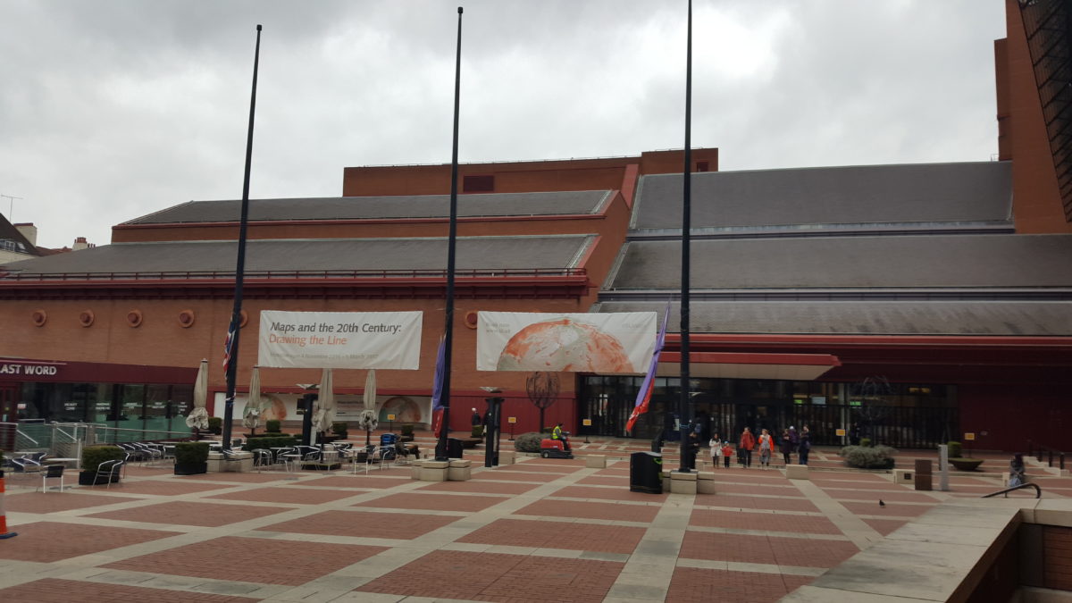
Maps and the 20th Century: Drawing the Line – British Library, London
Exploring the changes in geopolitics, technology and society through the use and evolution of maps is an interesting idea, and the British Library’s exhibition does its best to add enough variety to keep the subject matter engaging.
The exhibition is logically structured, with an early section on the opening of the 20th Century and a focus on understanding map-making and reading skills (projections, exploration, underlying intentions), before looking at war, peace, ‘Mapping the Market’, and mapping movement. To be honest it was the sections on war and peace where the relative uniformity of maps started to weigh slightly on me. The curators included exhibits which broke this up from time to time, such as a dress made of silk maps, or stamps printed on the back of a map – both by-products of the proliferation of maps during war time – and seeing the use of maps during trench warfare in WWI or an emerging tourist trade in Hiroshima post-WWII is affecting, but the human element has to be read into it; there is no getting away from the fact that maps in and of themselves are rather dry.
A section I did enjoy was the one on movement, where exhibits included a sketch of Harry Beck’s London Tube map, an image of the early universe, and the mapping of lava flows, earthquake movements, bird migrations and tectonic plates. This final section comes more or less full circle, the visitor walking past a map of fellow map-enthusiasts’ movements through the exhibition both when entering and exiting. What I felt I could have done with was a more prominent critique of maps as a tool – where have maps been used to further political messages, for example, or curtail individual freedoms? To what extent is our Western map making idea the only true way (a Marshall Island stick chart, for example, was a rare outlier)
Overall, however, the exhibition is something of a treasure trove for the patient – teasing out the interest of various exhibits takes time as the label texts are often lengthy and the items themselves not forthcoming, but some of the ideas will stick with me. The design, which overlays maps and map symbols across walls, plinths and display cases, tries to help the visitor to overcome map fatigue and engage with the content through to the end. A noble aim, but an exhibition I would recommend mainly for those with some previous interest.
Last Chance: until 1 March
One thought on “Maps and the 20th Century: Drawing the Line – British Library, London”