Walking The Inca Trail: Part II (incl. Machu Picchu)
In this second post on my recent Inca Trail experience, I take you through a day by day look at this famous hike, from KM 82 all the way to wonderful Machu Picchu (and Aguas Calientes and back to Cusco once more). Part I is here for those who want to know more about the practicalities of walking the Inca Trail.
Recap: Walking The Inca Trail
This post is Part II of my guide to Peru’s Inca Trail. In Part I we learned about the history of the hike, including the fact that the Inca Trail is actually just an Inca Trail, part of a vast network of roads and paths the Incas built to connect their vast empire. Nobody is quite sure what the purpose was of having a difficult and indirect route to Machu Picchu, but if it wasn’t a pilgrimage route then, it has certainly become one (of sorts) now.
To walk the Inca Trail, you need a permit and a guide. The easiest way to organise things is to join a group tour: I went with G Adventures. Your chosen company will lug some of your possessions, leaving you with just a daypack. The porters also carry the necessary equipment to set up lunch stops and overnight camps ahead of you. It’s a well-oiled machine.
So all that really leaves for you to worry about is getting yourself over the trail. In theory this isn’t too difficult: the whole thing is only 42 km, a third of what I walked doing Hadrian’s Wall last year. But it is at altitude, and there are some tough uphill sections leading to passes of up to 4,200m above sea level. Luckily though, every day offers different sights to keep you occupied, both in terms of ecologies and archaeology.

Day 1: KM 82 To Huayllabamba
For me, starting out on the Inca Trail was an exciting but nervous moment. I’d done my training, I had all the right equipment, but was I going to be able to do it? This wasn’t an overreaction: of my group of 13, 2 had to turn back on the first day. You never quite know how your body will react to the altitude and terrain until you’re underway. And all the initial logistics before you can get started do nothing to help calm those nerves.
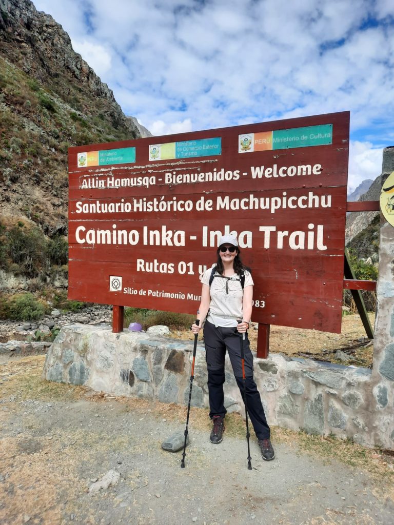
For those walking with group tours, typically your company will get you to KM 82 by bus/van. KM 82 refers to a distance marker on the railway along the Urubamba, from Cusco to Aguas Calientes. There’s another starting point a bit later on, but this is likely where you will start. My experience was that multiple groups descend on the KM 82 parking lot at once, kicking off a flurry of activity as everyone has their bags weighed (I had a duffel bag where I could give up to 6 KG to a porter); adjusts their daypacks; buys last minute necessities from enterprising locals; and lines up to go through the first Inca Trail checkpoint.
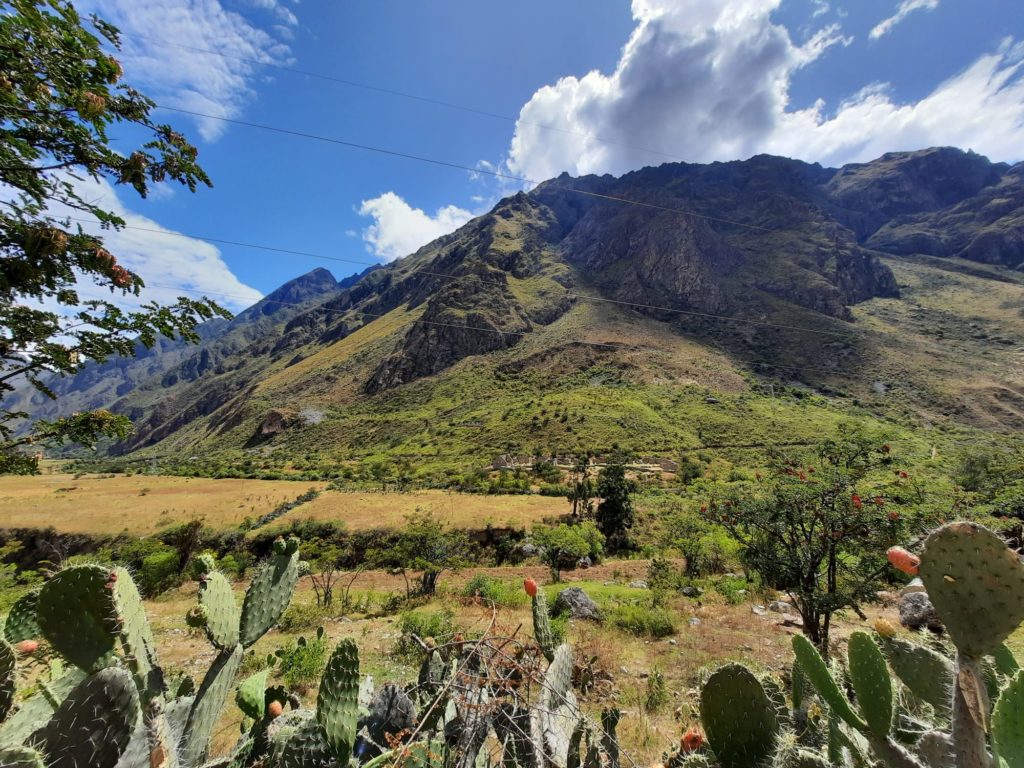
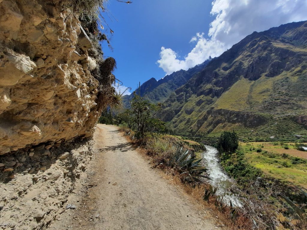
Once you’re finally walking, the first day of the hike is a good introduction. It’s fairly undulating, with a couple of hills where you can test your ability to pace yourself and keep going despite the thinner air. There are also Inca ruins to see, both from a distance and up close. One of the most impressive on this first day is Patallacta. This was once one of the largest settlements in the area. Hiram Bingham found and uncovered it in 1911, but it was only in the 1970s that archaeologists realised its full extent. It’s likely that it was an agricultural station with strategic importance. From the trail you look out over Patallacta at a curve in the Cusichaca River. Nearby, you can explore the hill fort of Huillca Raccay.
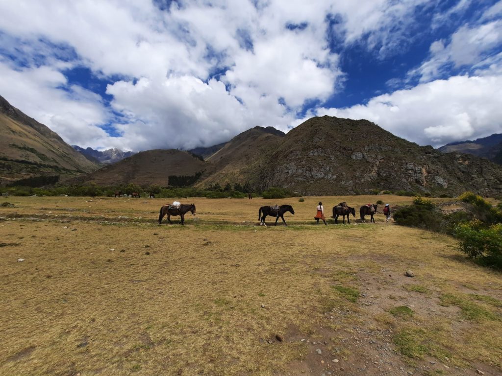
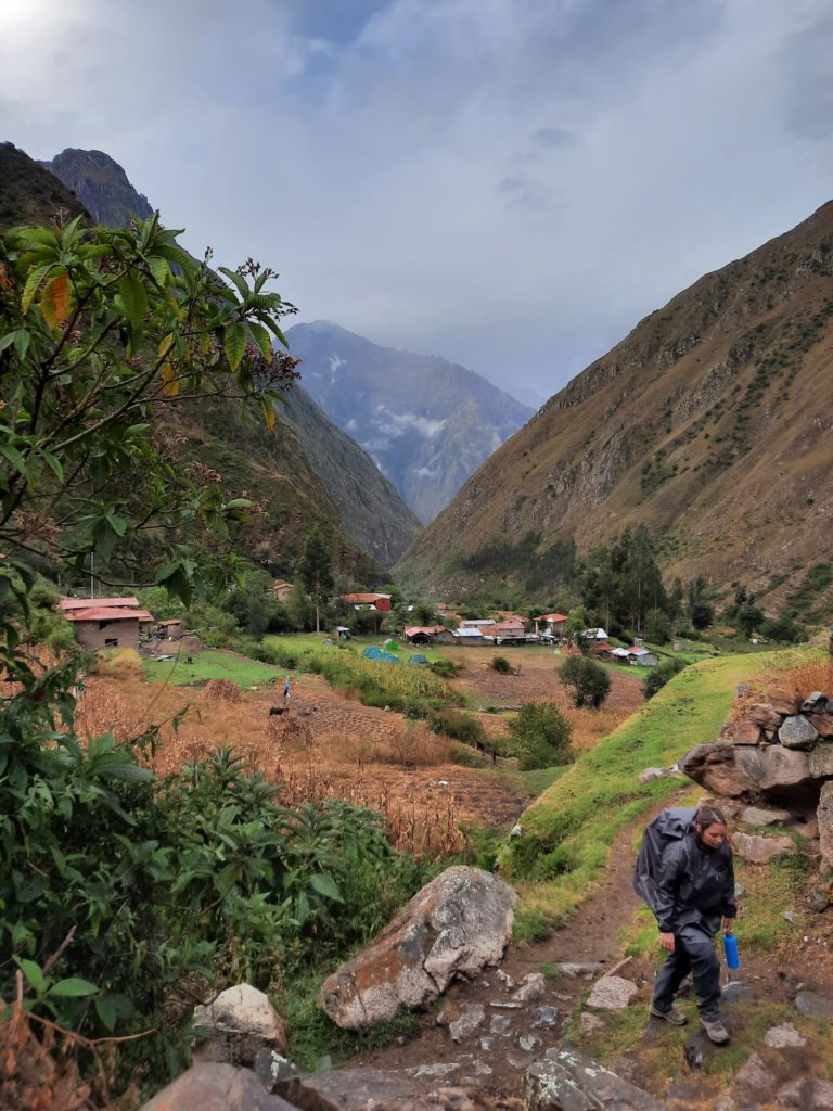
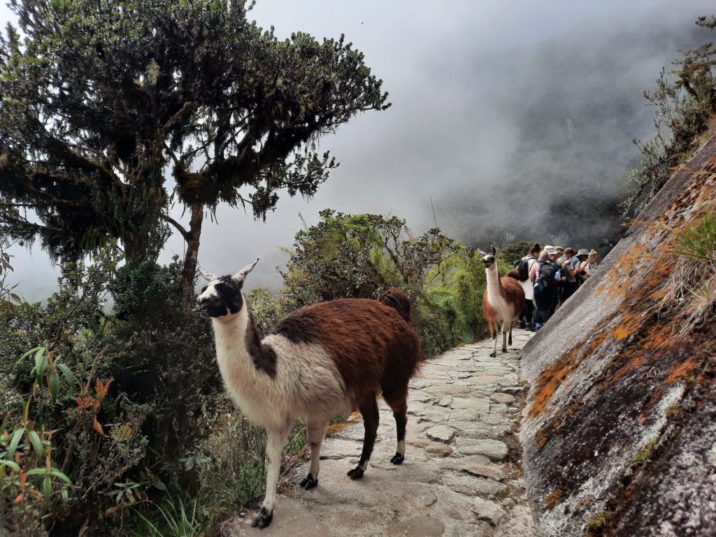
This first day of Inca Trail hiking is a little more developed than the rest of the experience. You will see towns and houses, and pack animals taking supplies (they have right of way, so keep an eye/ear out for them). If you want to try out some local experiences, there are places to stop off for a chica (corn beer). We took the opportunity of a heavy rain shower to pause at a well-timed chicheria. You will likely finish the day at a camp around the village of Huayllabamba.
Day 2: Huayllabamba to Pacamayo via Dead Woman’s Pass
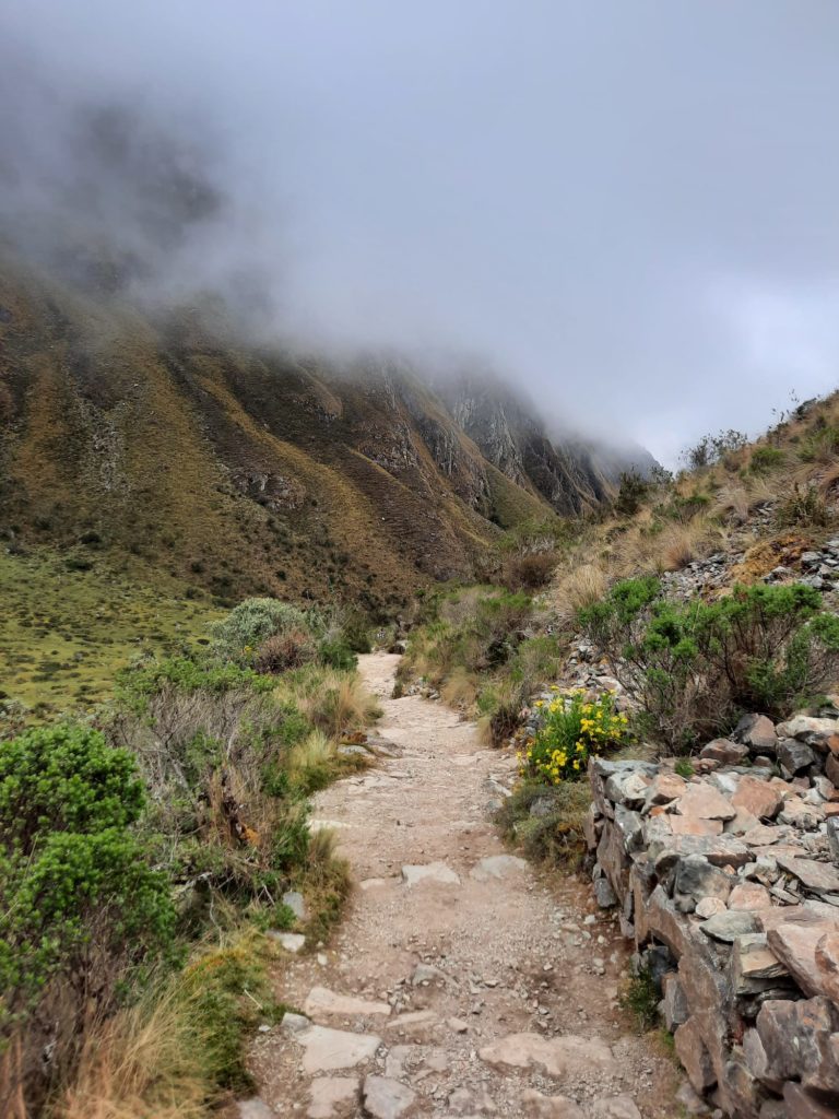
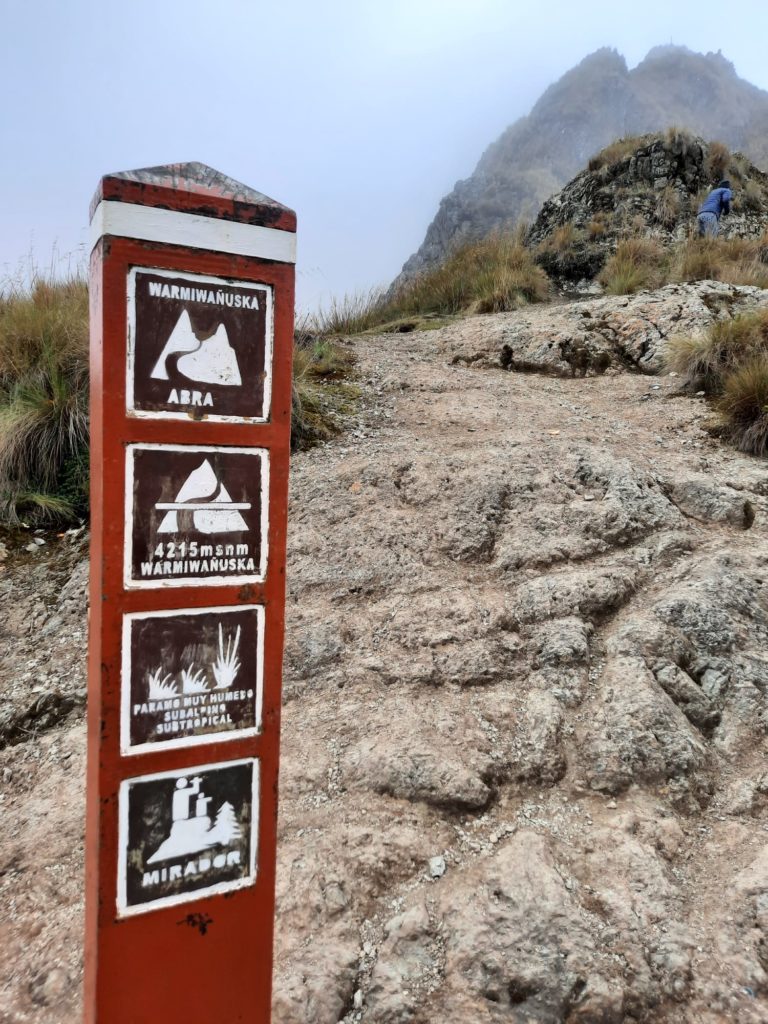
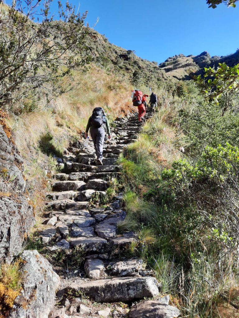
The second day, or more specifically the morning of the second day, was the part of the Inca Trail I had been dreading. Not only does it involve the highest pass of the hike at 4,200m, there is a relentless uphill slog to get there. After a quick checkpoint stop in the morning we climbed for a good few hours to get up to Dead Woman’s Pass, apparently so named because the shape of the mountain looks like the body of a woman.
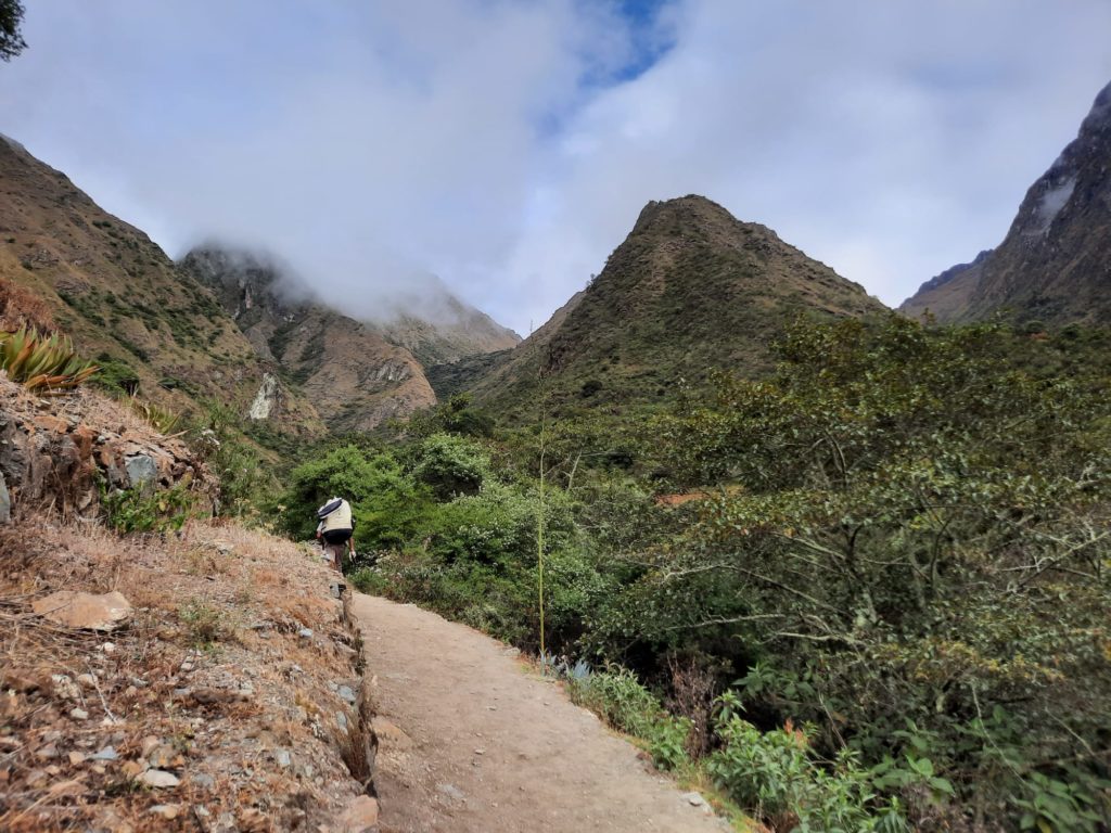
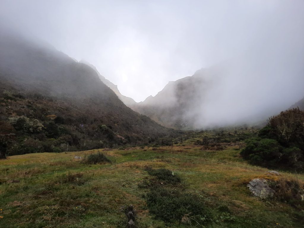
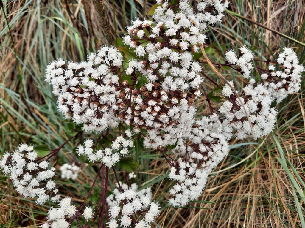
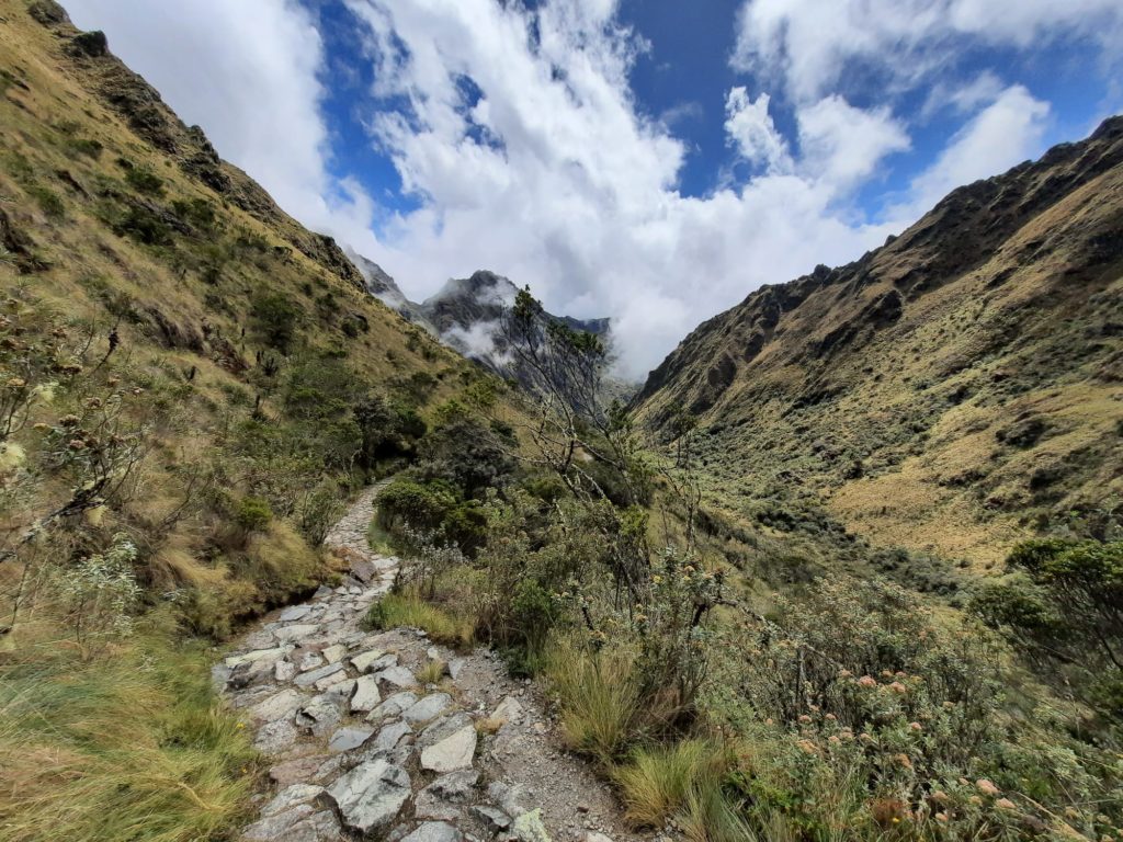
There is not so much to see on this second day in terms of archaeology. But it is interesting to see the changing terrain. You pass through a cloud forest at one point, and see ‘high country’ flora and fauna. The area around Machu Picchu is actually very important in terms of biodiversity , particularly the protected Machu Picchu Historic Sanctuary. You are very unlikely to see a spectacled bear (like Paddington!) but there are many birds and butterflies. The Macchu Picchu Historic Sanctuary actually contains 5% of all known bird species in the world! There are also butterflies, plants like orchids and bromeliads, and more.
So despite feeling at times like your heart might burst out of your chest with the effort, Day 2 is actually a good opportunity to appreciate the ecology and landscapes of the Andes. Plus stopping to take pictures of the puna and cloud forest is a wonderful excuse to stop for a quick breather. Once you reach Dead Woman’s Pass (Huarmihuanusca or Warmi Wañusqa), it’s a couple of steep hours back downhill to your next campsite.


Day 3: Pacamayo to Wiñay Wayna
The third day of the Inca Trail is the longest day of walking, at 16 KM – the only time I approached the daily distances I was walking along Hadrian’s Wall. There is a second pass to contend with in the morning, but overall the walk is more varied; undulating terrain rather than straight up and straight down. It’s a spectacular day, with many archaeological sites and incredible views over the surrounding mountains and valleys.
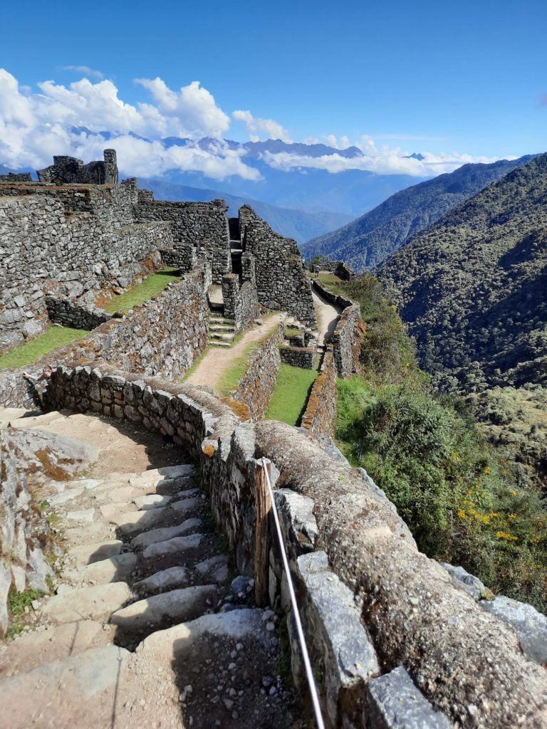
The first Inca ruins of the day are at Runkuraqay, another tambo (rest stop) for passing travellers and messengers. You get great views from its round walls, and it’s a nice break point on your way up to the second high pass (3962m). Next up is Sayacmarca, meaning ‘inaccessible town’. This is a misnomer, however. Dr Paul Fejos, when naming the site in the 1940s, just hadn’t discovered the roads connecting it to other places. This is quite a large hilltop site with a steep climb up and down. You get a good view of more ruins below at Concha Marca.
After lunch you can choose to detour to Phuyupatamarca, with its chain of ‘ritual baths’. These are probably not literal baths, but connected to the worship of water. Then come the two most impressive Inca sites of the whole walk: Intipata and Wiñay Wayna. Intipata is a huge stretch of terraces up above your likely campsite for the night. Climbing up, you will find houses hidden inside one or two of them. The views are best from the top, but the view of the site itself is best from the bottom. It’s awe-inspiring to take a look around and understand that Intipata is likely far bigger, the other terraces consumed by the jungle.
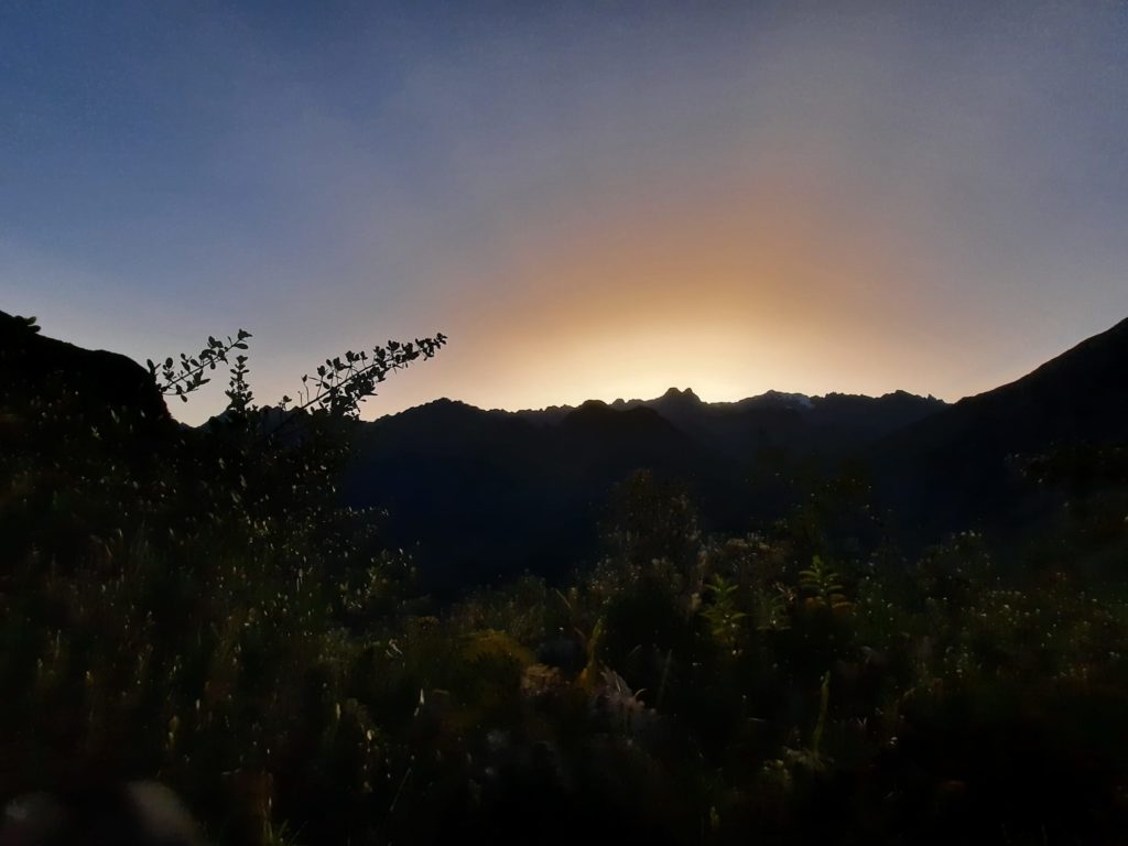
Going to Wiñay Wayna was a special moment for me. After Intipata we arrived not long before sunset at our camp. Our guide told us there was another Inca site we could choose to check out; after a long day’s walk I was the only would-be archaeologist who rushed off to take a look. And it is spectacular. A little clutch of houses and other buildings, nestled in a series of terraces arranged like an amphitheatre. Watching the last of the day’s light and taking in the majesty of a place I’d walked three days to get to, I was so happy in my choice to have taken on the Inca Trail.
Day 4: An Early Start And Machu Picchu!
Finally, the big day! It’s a very early start. And this is nothing to do with getting anywhere for sunrise, whatever people might tell you. It’s a lot more to do with allowing the porters to get down the mountain in time to catch the train and get back round to start the hike again. Fair enough. So we woke up well before dawn, and joined the big queue to get through the final checkpoint. This isn’t actually a bad experience: yes it’s a bottle neck, but once everyone is through the checkpoint groups naturally space out again until the viewpoint at the Sun Gate (Intipunku).
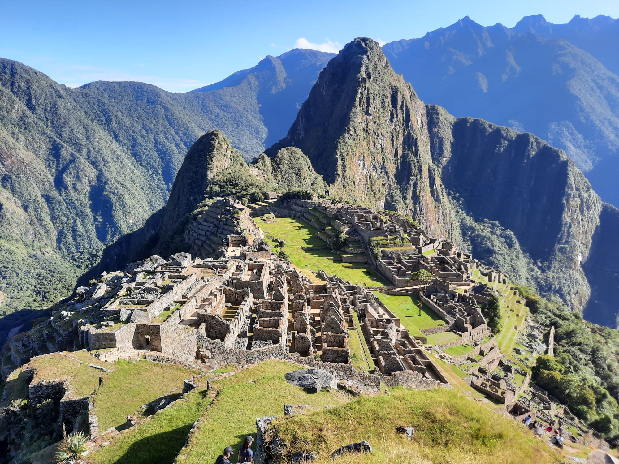
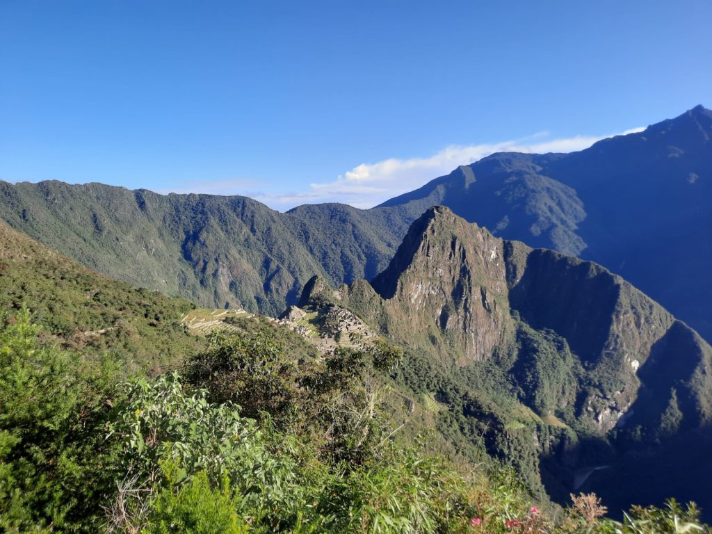
My group were incredibly lucky with the weather. Many times you can arrive at the Sun Gate and just see… cloud. But we had a completely clear day! We were roasting in the sun by late morning, but it was worth it. Finally seeing Machu Picchu was as special as I had hoped. Tickets are now divided into morning and afternoon sessions so you won’t spend all day here, but our guide took us on a tour of many of the main sights. With this type of trip you won’t have time to do the hike up Huayna Picchu (requires a separate advance ticket). But to me that looked like a death trap anyway!
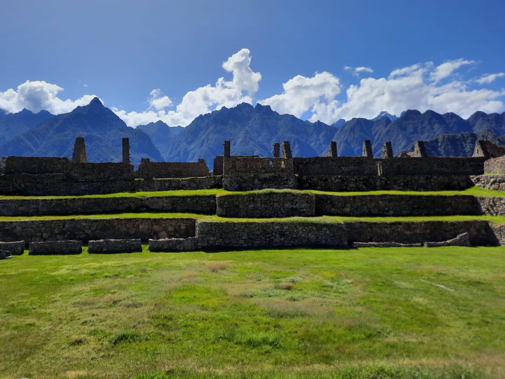
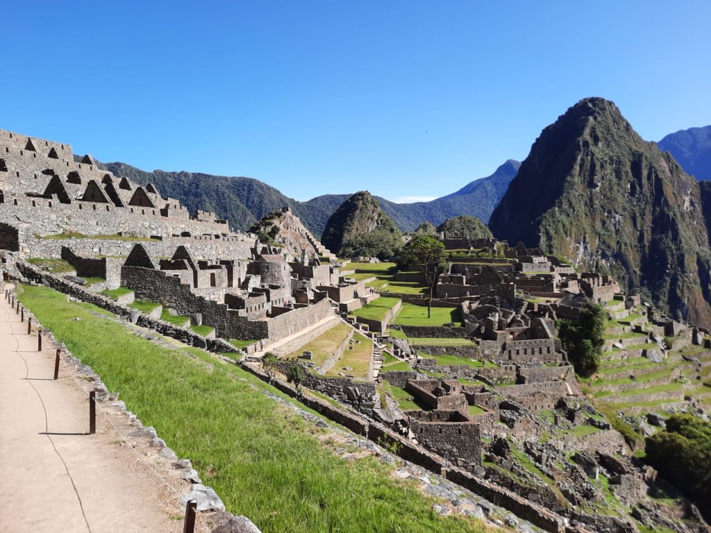
Given that we still don’t really know what Machu Picchu was all about, the interpretation of the site includes a lot of speculation. Was it a royal retreat? A summer getaway? Who knows. But it’s fairly clear there are sections with different purposes. Like an agricultural and residential section, as well as a ‘royal quarter’. The fact that the Incas distinguished the importance of buildings by the quality of their stonework does help to categorically identify where the nobles lived.
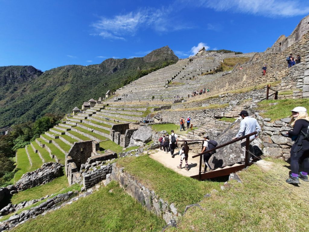
When I visited (May 2022) there was quite a complicated system of one way and restricted areas. The best photo spots are at least partly reserved for Inca Trail groups. Each group is allocated a spot and a time limit to avoid crowding. You then exit Machu Picchu and reenter through the main entrance, following one way routes which are taken very seriously. It’s all a little complicated, but it works and I didn’t find the visitor numbers overwhelming. Not bad for one of the Seven Wonders of the World.


And Back To Reality
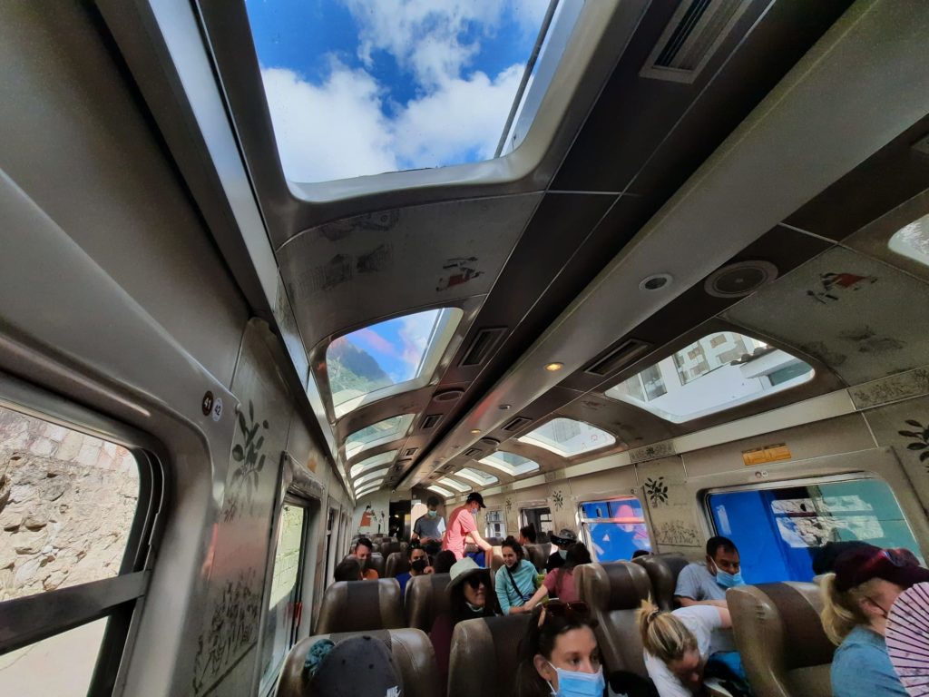
Once your tour of Machu Picchu is finished, you and your group will start off on a series of modes of transport to get back to your starting point. This first involves a bus to get from Machu Picchu to the town of Aguas Calientes below it. A fleet of buses ply this winding route to get everyone up and down the hill. Aguas Calientes (literally meaning ‘hot springs’) styles itself Machu Picchu Pueblo (Machu Picchu Town), presumably in an attempt to increase overnight or longer term visits rather than day trippers. We were day trippers, having lunch before wandering around a bit and catching the train. There are various standards of train from Machu Picchu including some very fancy ones, but luckily for me, even the less fancy ones have panoramic windows.
From the train station at Ollantaytambo a van was waiting to take us back to Cusco and reality. Arriving at our hotel, we unpacked and returned our duffel bags and our Inca Trail experience was over. My time on the Inca Trail and at Machu Picchu absolutely lived up to my expectations. And yet I find it hard to unconditionally recommend it. Apart from 30 minutes of rain, my time on the Inca Trail was all sun or dramatic clouds. A sodden four day walk finishing at a cloud-shrouded Machu Picchu would have been a totally different thing.
And yet, either way, this experience is very much about challenging yourself. You could just go to Aguas Calientes and get the bus up. But walking the Inca Trail taught me a lot about Inca history. As well as affording me an up close appreciation of some of the different landscapes that make up the Andes. I wouldn’t change it for the world, but I would also be cautious about ever redoing it, just in case I was less lucky a second time around.
Trending
If you see this after your page is loaded completely, leafletJS files are missing.
4 thoughts on “Walking The Inca Trail: Part II (incl. Machu Picchu)”