Long-time London resident and avid museum and theatre-goer. I started this blog in 2014, and got serious about it in 2020 when I realised how much I missed arts and culture during lockdowns. I go to a lot more events than anyone would think is sensible, and love sharing my thoughts in the forms of reviews, the occasional thought piece, and travel recommendations when I leave my London HQ.
On today’s walk we trace the Fleet from one of its sources on Hampstead Heath, through centuries and city streets all the way to Blackfriars.
London’s Lost Rivers: It’s Been a While!
It sure has. “The years start comin’ and they don’t stop comin’,” to quote a key touchstone of millennial culture. And so the last lost river walk we went on at the Salterton Arts Review was in 2021. It’s not through lack of willing. My London walks started as a way to keep engaging with history and culture during Covid lockdowns. But I really enjoyed what they brought me in terms of exploring new neighbourhoods, learning interesting facts, and even reconnecting with old friends in the comments sections. As other cultural options opened back up I got busier again, life got in the way as it tends to do, and before you know it four years have passed.
But the stars still manage to align themselves on occasion. I’d been meaning to do one of the Fleet walks for a while. And one of the starting points was right on the lawn of Kenwood House. So when I visited to see an exhibition, it was only a matter of wearing sensible clothing and footwear so I could take the long way home. One of the best things about following the path of rivers from source to mouth is it that even if the walks are long, they’re always downhill. And in London there are normally a few pubs dotted along the way for necessary refreshments.
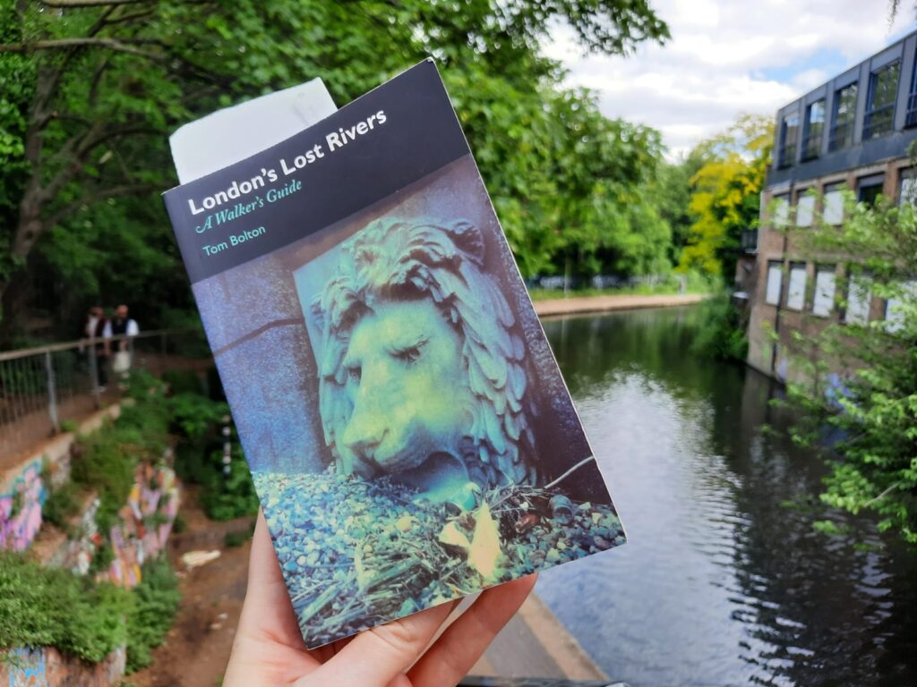
Anyway, today’s walk follows the path of the Fleet. Unlike the rivers we’ve traced so far (the Neckinger, the Walbrook and the Peck), London retains more of a memory of the Fleet. It was a more sizeable river for a start. And lives on, of course, in names like Fleet Street, famously associated with newspapers. Like many of London’s rivers, the Fleet once had various uses including by different trades. However, also like many of London’s rivers, it became increasingly polluted until, in the 19th century, it became necessary to cover it up. And so we need the help of our trusty friend, Tom Bolton’s London’s Lost Rivers: A Walker’s Guide to retrace it.
Walking The Fleet: Kenwood House
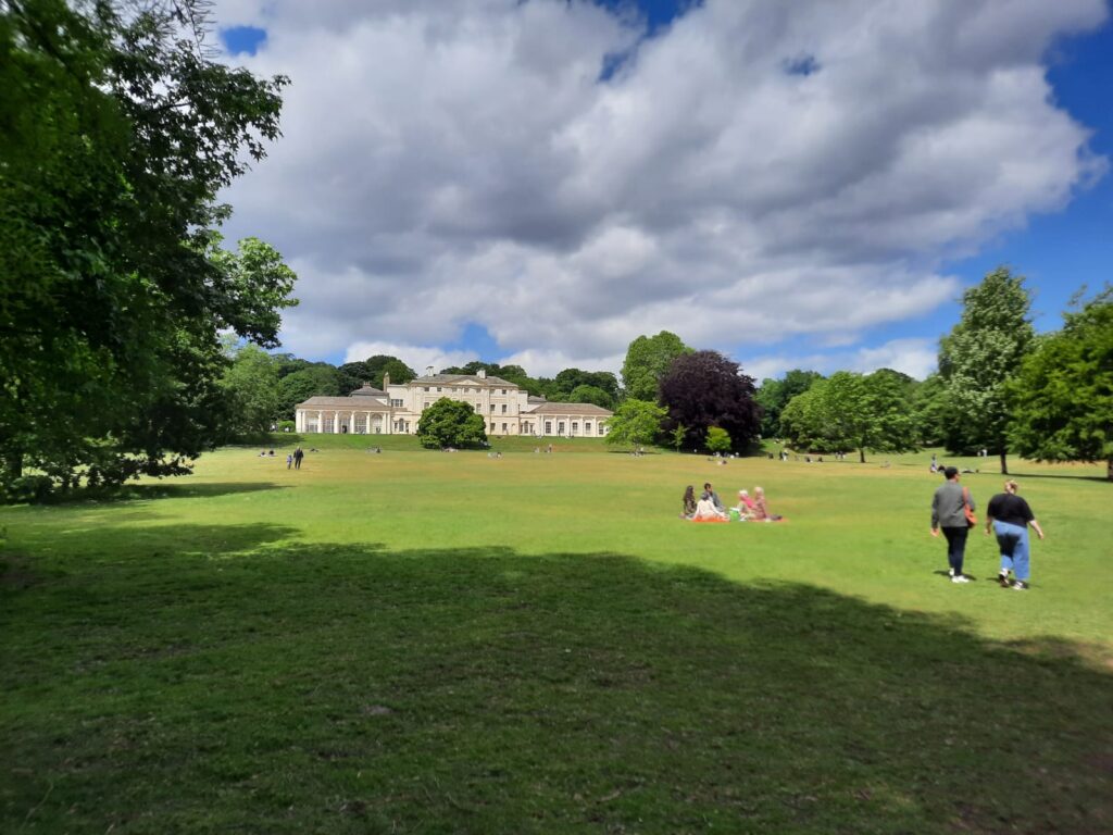
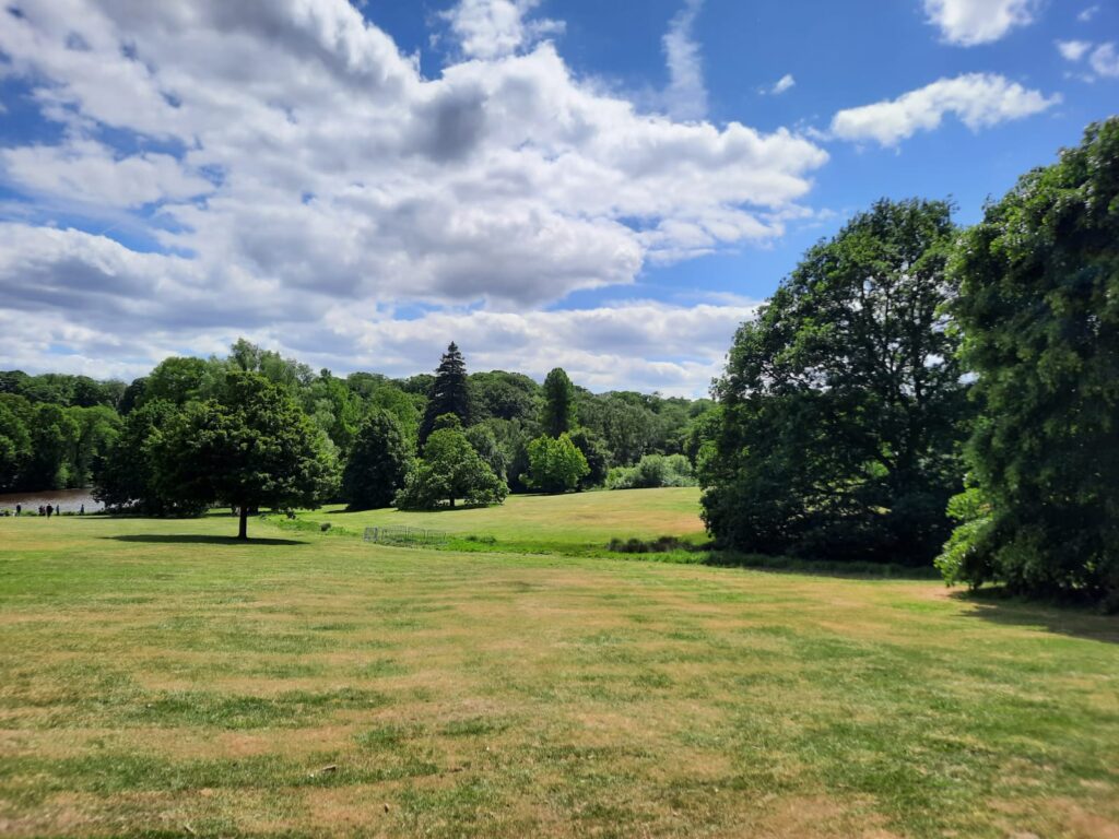
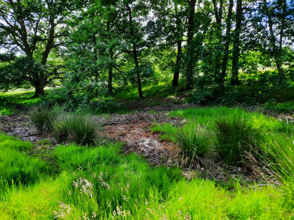
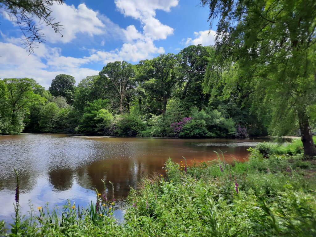
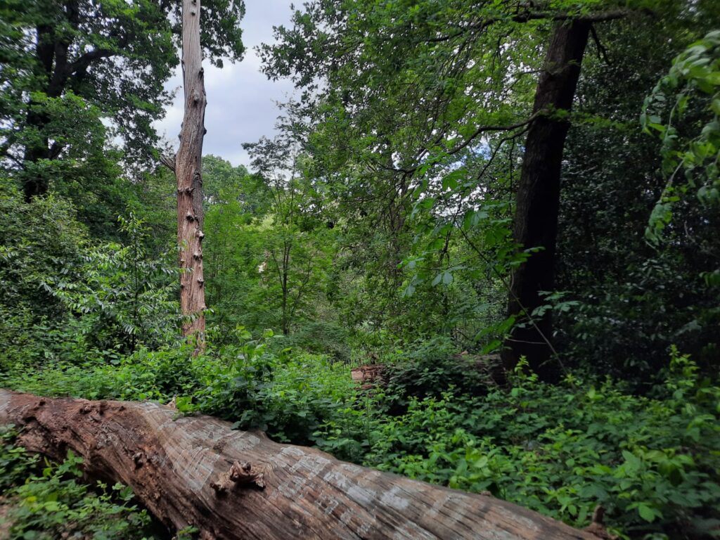
We start today’s walk on the lawn of Kenwood House. You may have read my recent(ish) posts about Kenwood, and its temporary exhibition. If not, no time like the present! But if you’re pressed for time, let me recap briefly. Kenwood was long a lovely summer retreat when Hampstead was a village away from the pollution of London, known for its healthy springs. Part of its design is by Robert Adam. It passed through many hands until it was at risk of redevelopment in the early 20th century. Luckily for us, Edward Cecil Guinness, part of the Guinness brewing family, stepped in. He purchased Kenwood and bequeathed it, and his art collection, to the nation on his death. Kenwood is today managed by English Heritage, and is free to visit.But the point for us today is that one of the sources of the River Fleet is right on the Kenwood grounds. Can you see that slight dip in the landscape, where it’s greener? That, my friends, is a miniature river valley. And it’s where we’re headed now.Bolton, in our guide book, describes two beginnings to this walk, based on two different sources. Both are on Hampstead Heath, but the other is closer to Hampstead Village. By following his instructions and heading to a small copse of trees, we find first some boggy ground, and then a definite spring. The rusty colour of the boggy ground made me wonder if this was a chalybeate spring, containing iron. I know others in Hampstead were.But let’s keep following the embryonic river valley down to the first in a series of ponds.
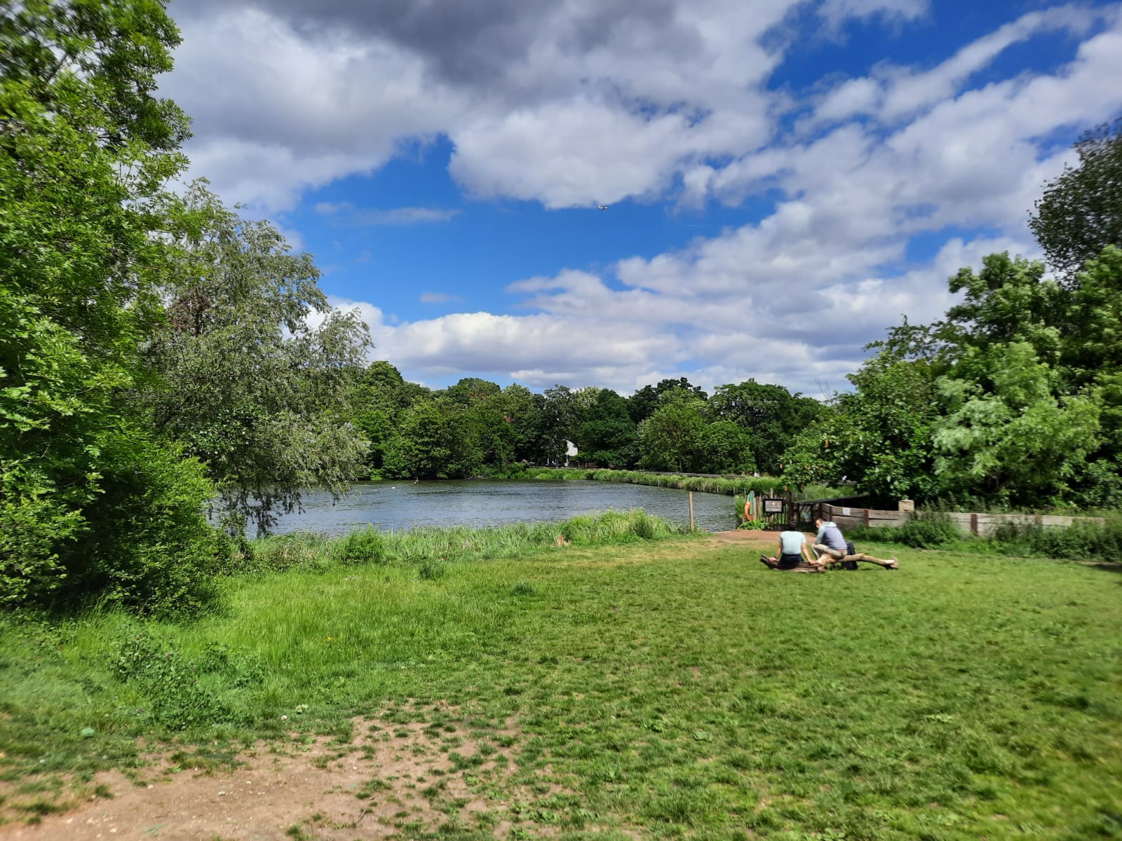
Hampstead Heath and a Series of Ponds
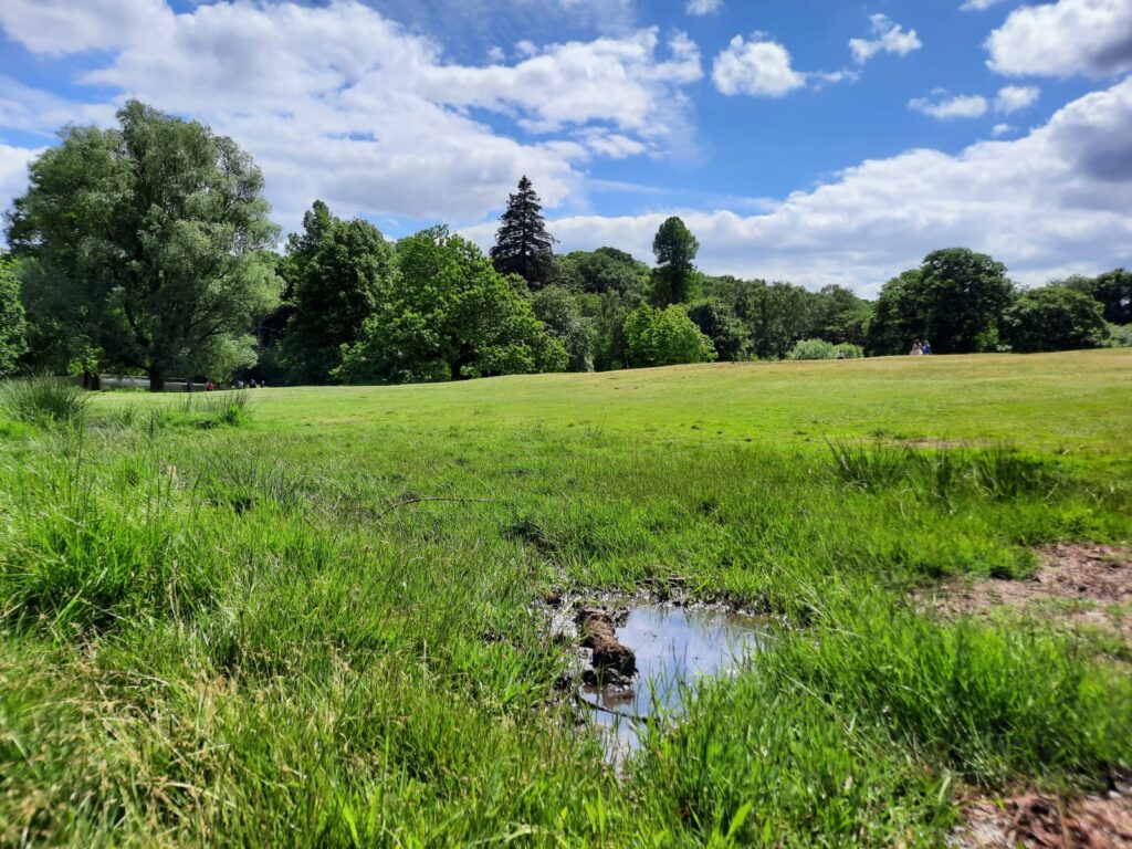
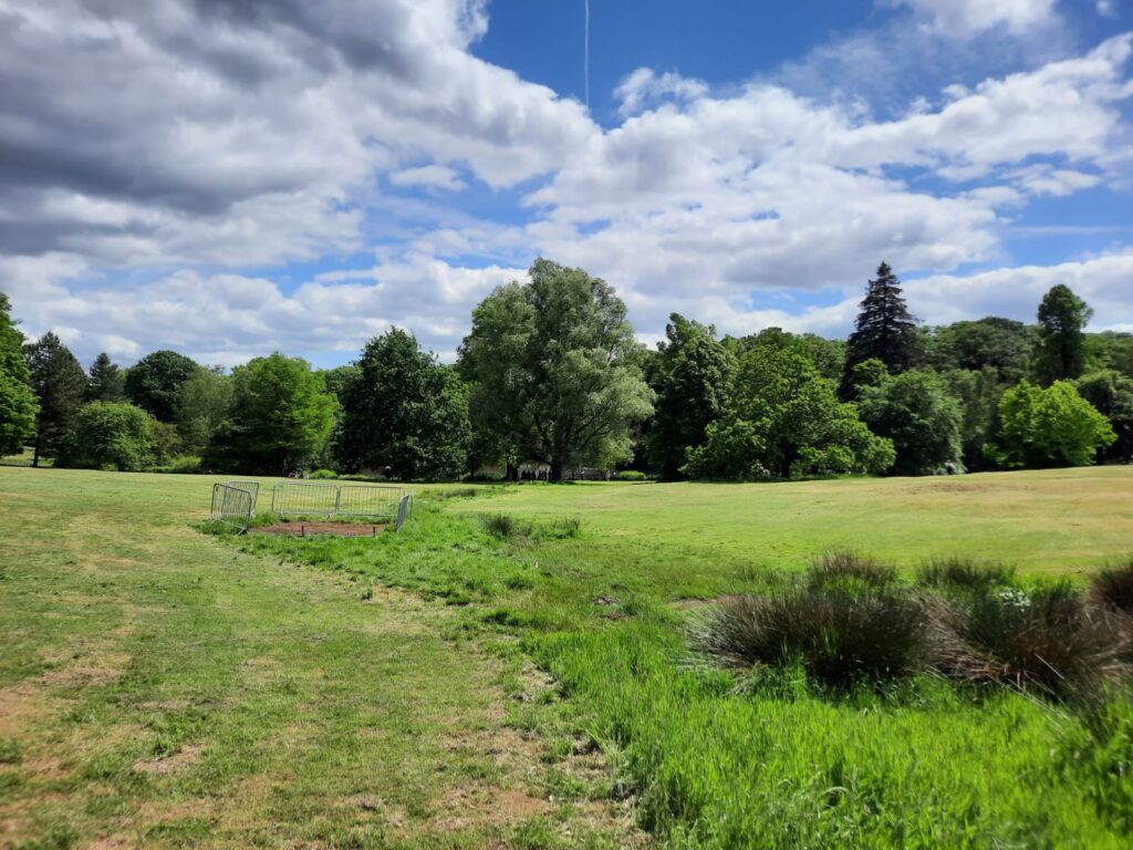
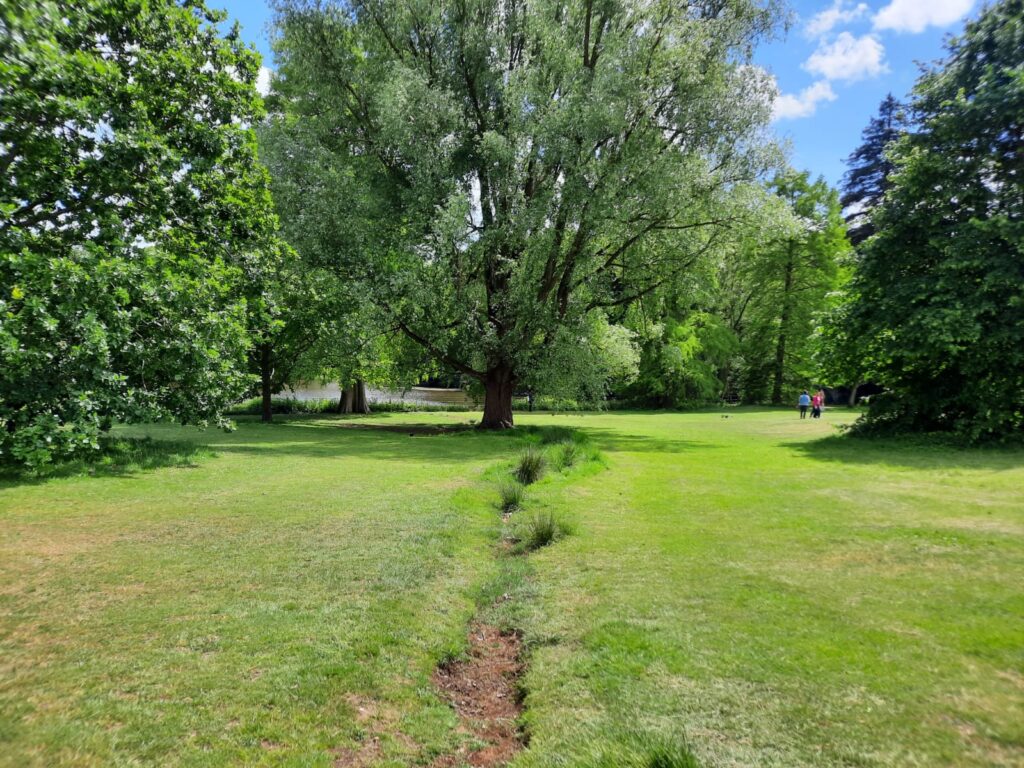
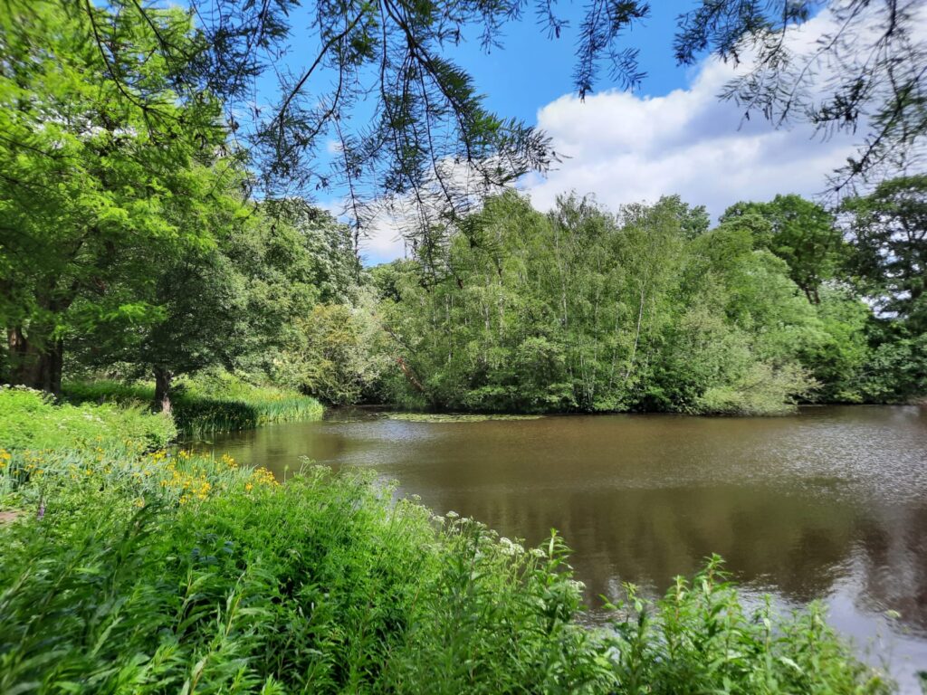
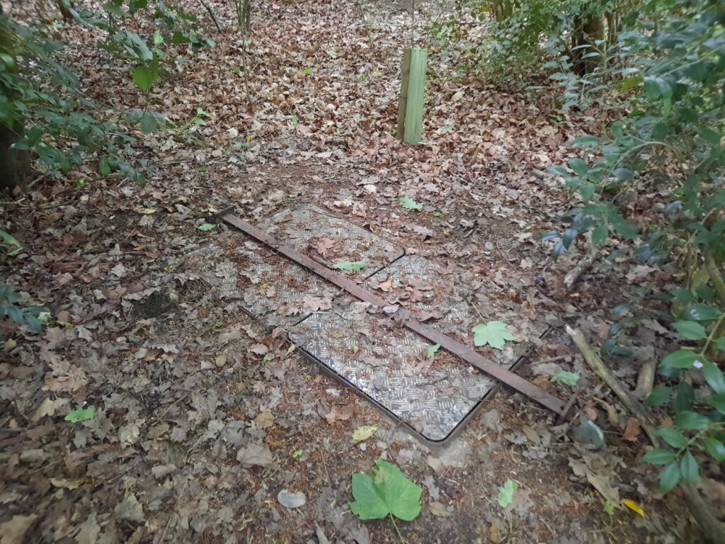
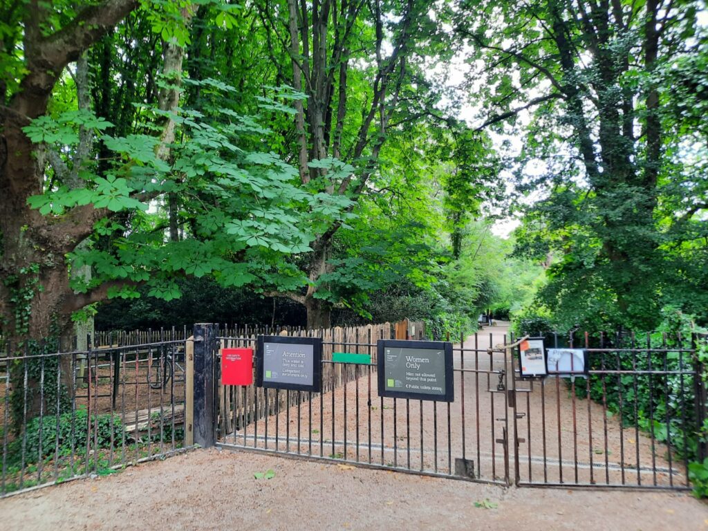
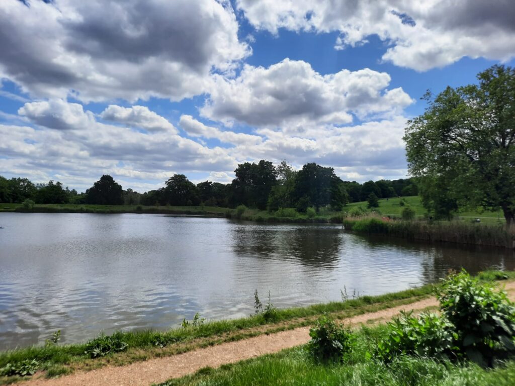
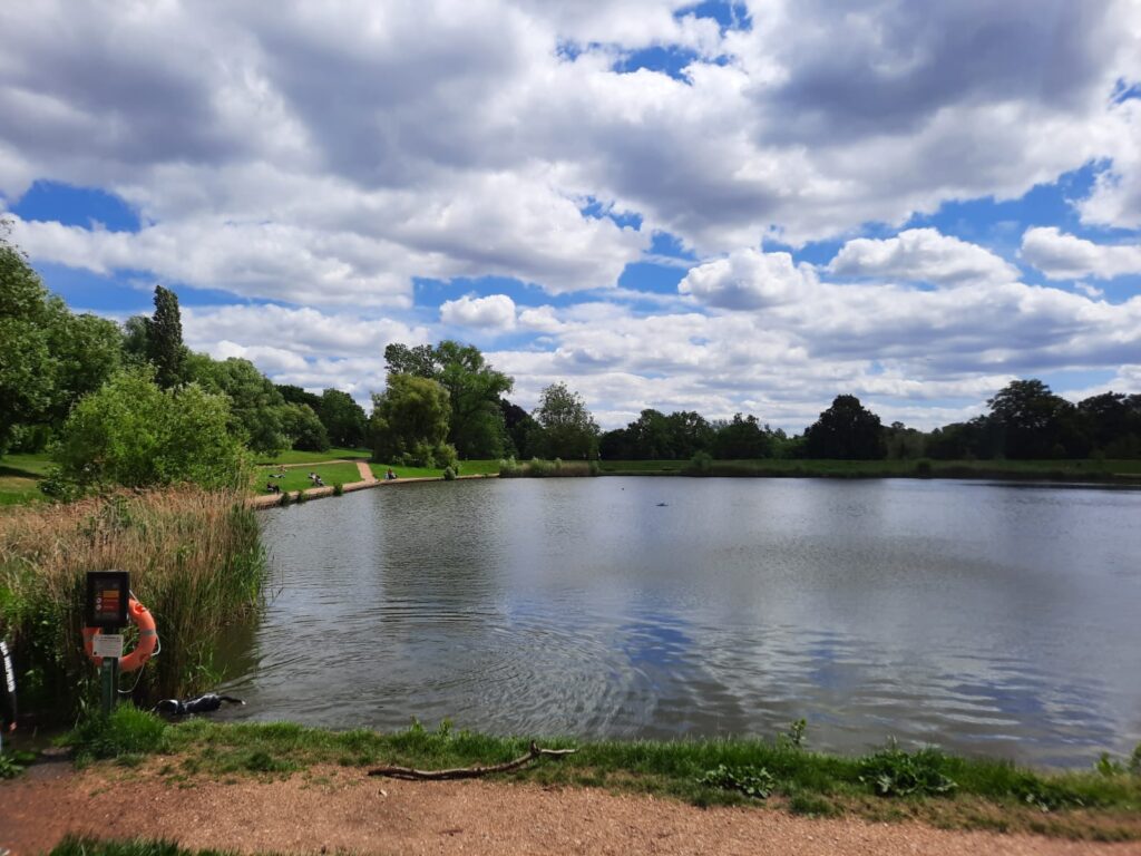
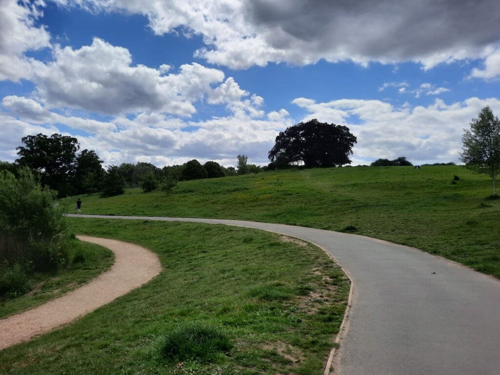
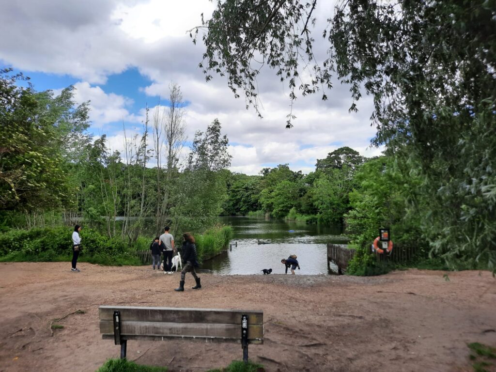
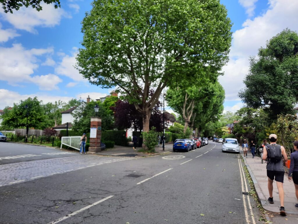
Decidedly rusty-looking again in that first image! We’re now going to follow the series of ponds formed by damming the nascent Fleet, starting with two on the grounds of Kenwood House. Both go by two names: the first Wood Pond or Lily Pond, and the second Concert Pond or Thousand Pound Pond. Quite a lot of money to have spent making a pond back in 1793. Another of Hampstead Heath’s streams enters the flow of the Fleet here, showing how many tributaries gathered and contributed to the river.The Fleet hasn’t taken long to head underground: it’s under this drain cover in the first image. We hear it rushing downhill as an open stream, before crossing the woods that I guess Kenwood takes its name from, and leaving the estate to enter Hampstead Heath proper.And here we are. I promised you more ponds, and we’re going to start with the Stock Pond, which I suppose was drinking water for animals once upon a time.We walk down a shaded lane, and next encounter the Ladies’ Bathing Pond. As a women’s-only space this is the most secluded and protected of the ponds. Open to the public since 1926, it’s apparently the only natural ladies’ swimming pond in Europe.I then got rather confused about which pond was which, because I think there was something funny about the map in my book relative to the order of the ponds. But no matter, they were all very pleasant to look at nonetheless. Somewhere there’s a Men’s Bathing Pond, a Model Boating Pond, a Bird Sanctuary Pond and Highgate Pond No. 1. There’s meant to be a mixed bathing pond somewhere but I’m not sure which one that is.And after taking a wrong turn because I couldn’t work out which pond I was at, I found my way and headed out of Hampstead Heath.
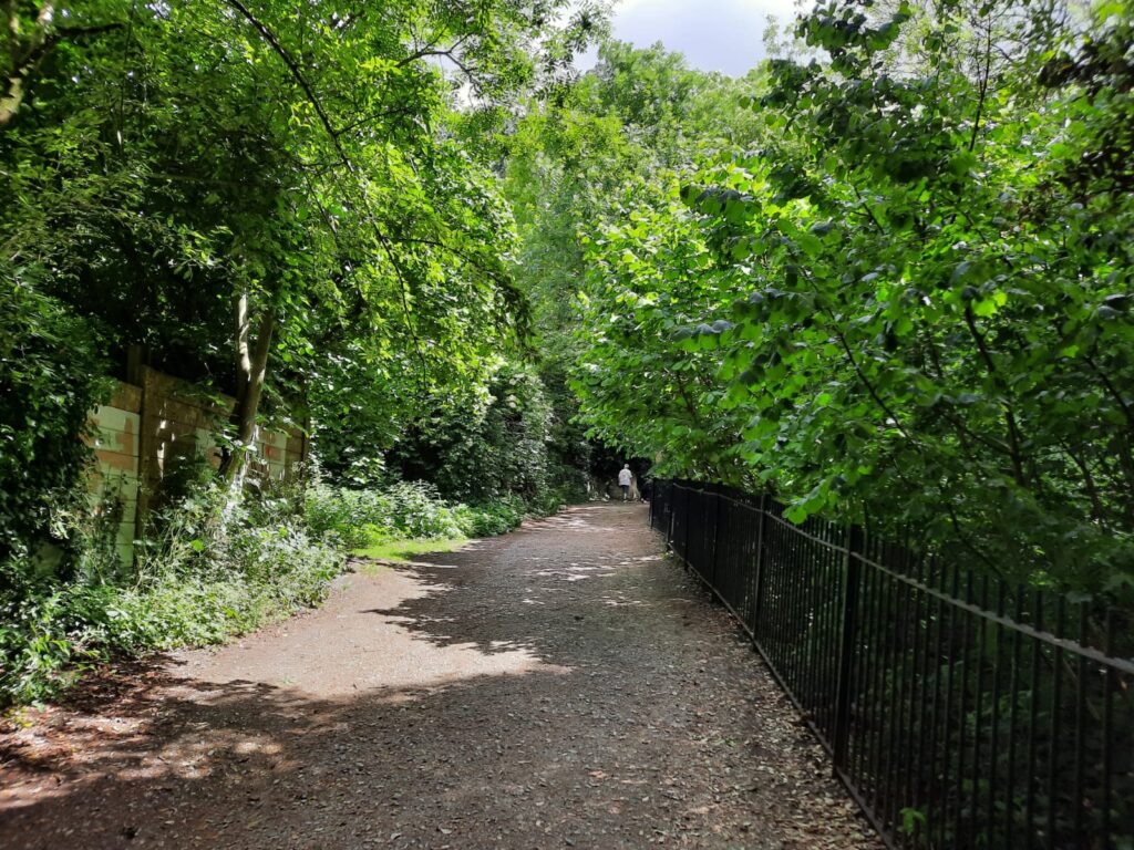
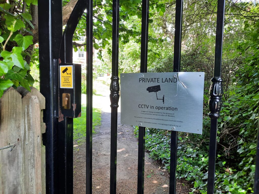
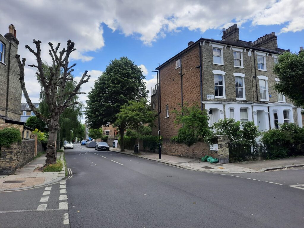
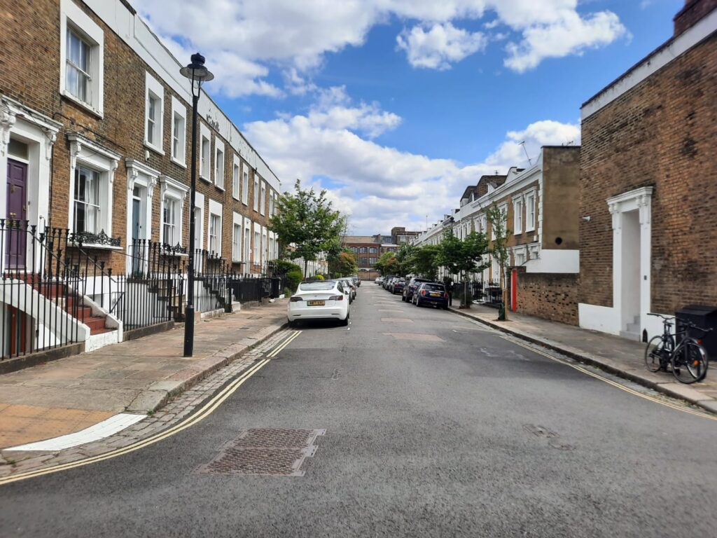
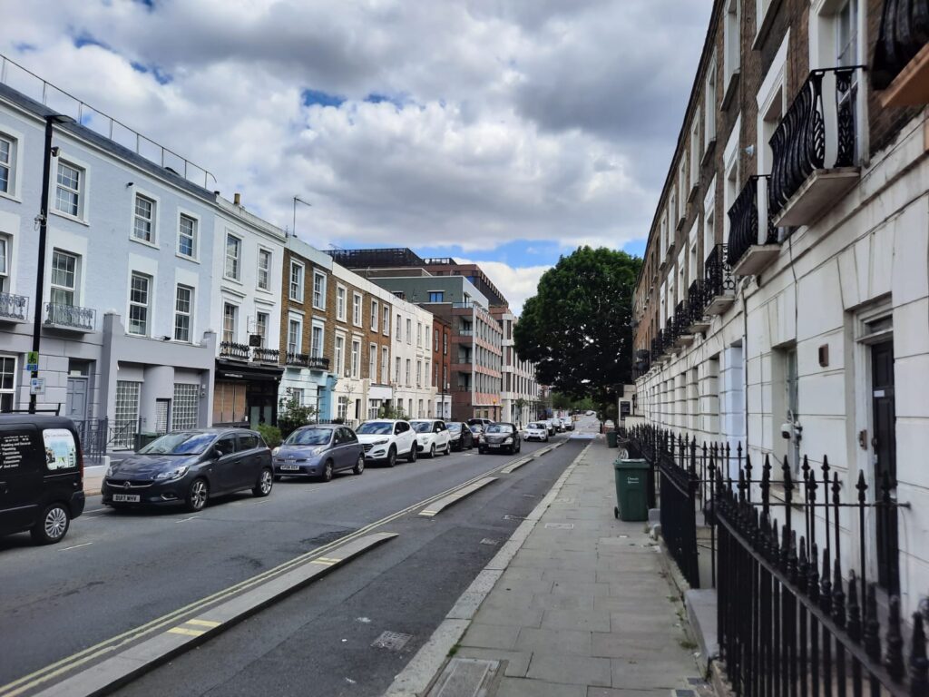
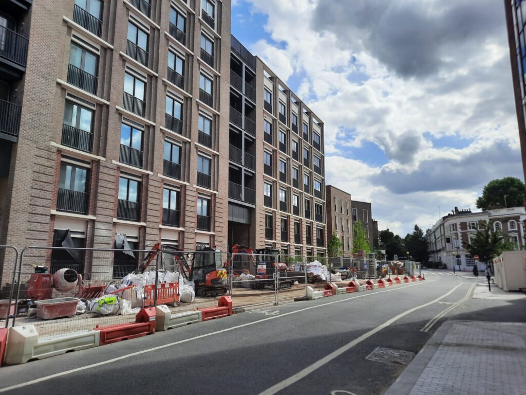
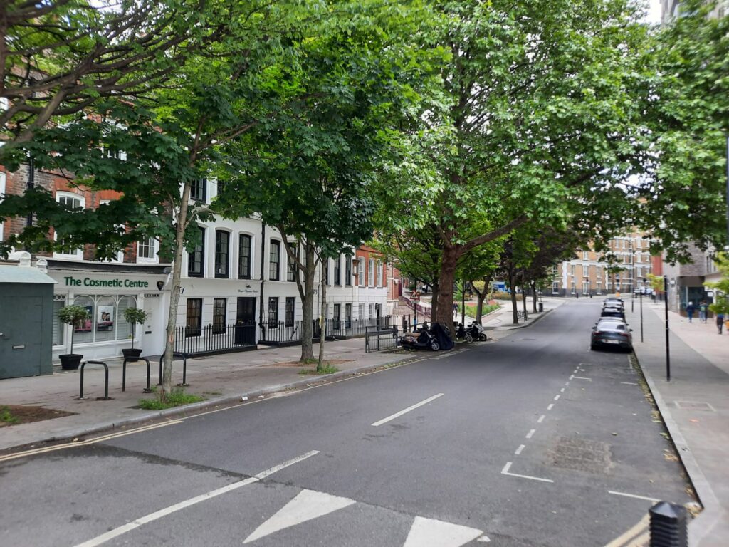
Walking the Fleet: Brookfield Estate to York Rise
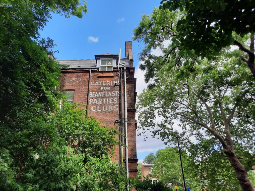
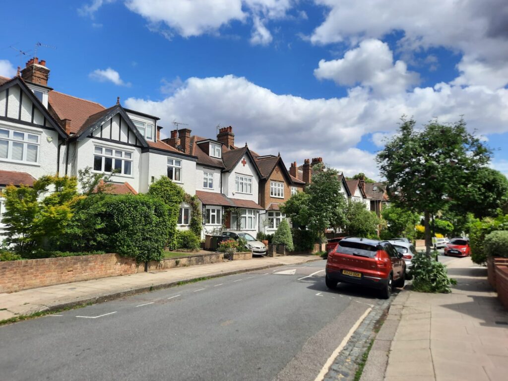
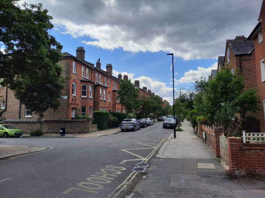
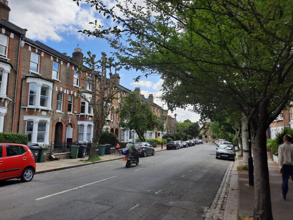
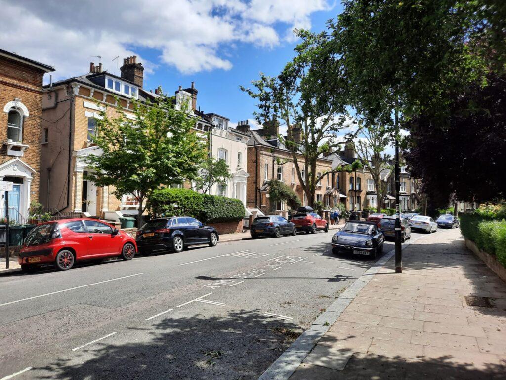
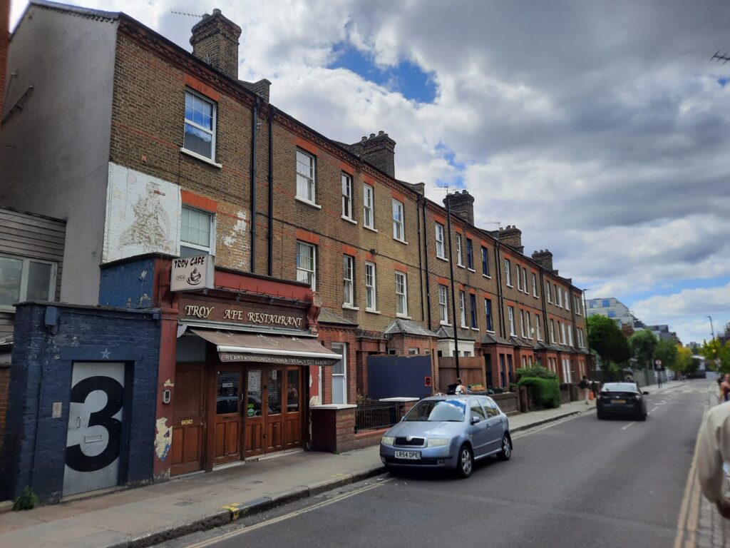
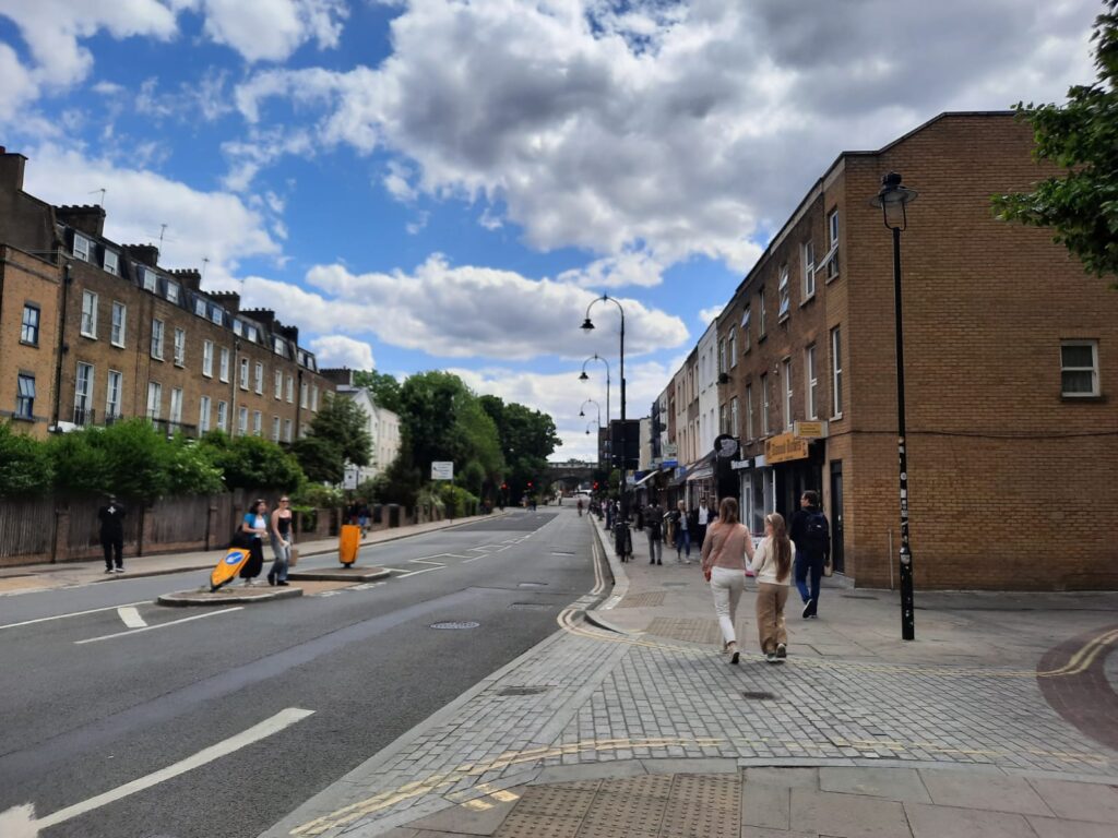
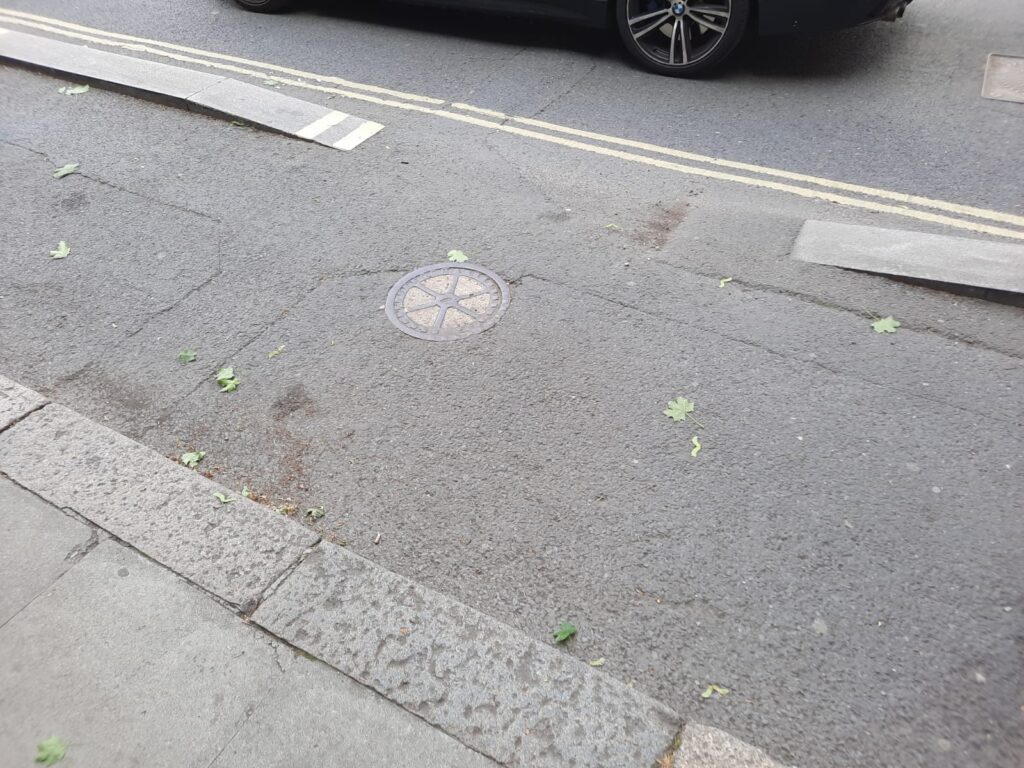
One of the things about following printed walking guides is how the walks alter with the passage of time. I particularly like following John Wittich‘s series of London walks from the 1970s for that reason. Tom Bolton’s book was first printed in 2011, so is significantly newer. Nonetheless, we spotted a few changes. The first was the Brookfield Estate. Bolton assured us we could ignore ‘Private’ signs and cross it, but it seems residents have wised up since then and got themselves a locked gate. The winding path through the estate follows the course of the river, as its name suggests.Without that short, unexpected detour we would not have found this intriguing ghost sign with its reference to beanfeasts. What on earth is a beanfeast, you ask? I hadn’t heard of them either, but I found out they were an annual dinner held by employers for employees. Or held by clubs. Not necessarily featuring beans, but also known as a ‘beano’. There you go!From beanfeasts we head to Swain’s Lane, a corruption of Swine Lane. The Fleet once flowed here, until it was culverted in the 1890s.See that drain cover? More evidence of the Fleet beneath our feet, as are street names like Brookfield Park. This area has quite a suburban feel, full of Victorian and later developments on land owned by the Earl of Dartmouth.And now we follow York Rise all the way down. It doesn’t come through very well in the photos but this is a shallow valley, with the Fleet under the road as a sewer.
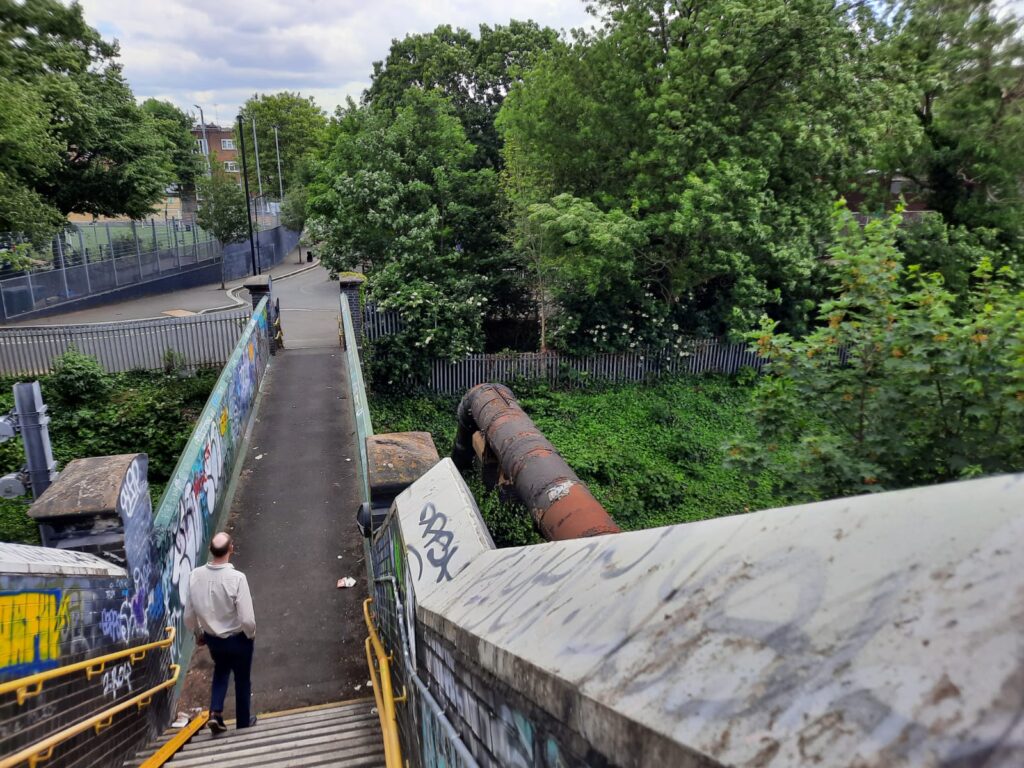
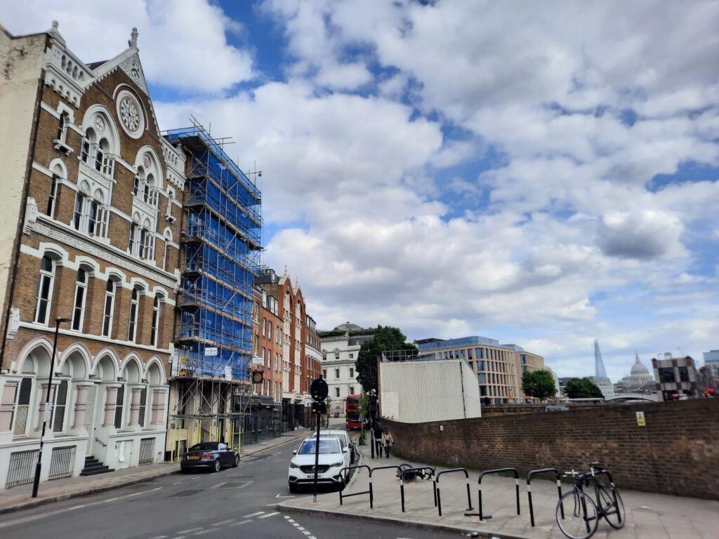
A Railway Crossing to The Crimea (Pub)
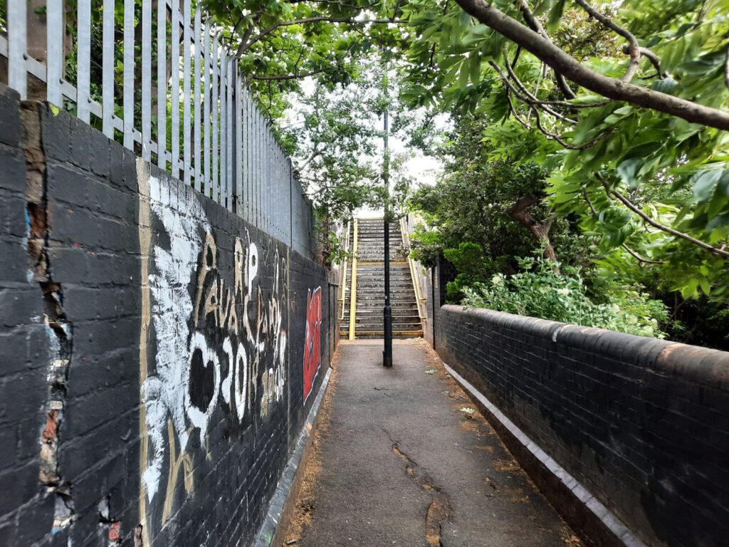
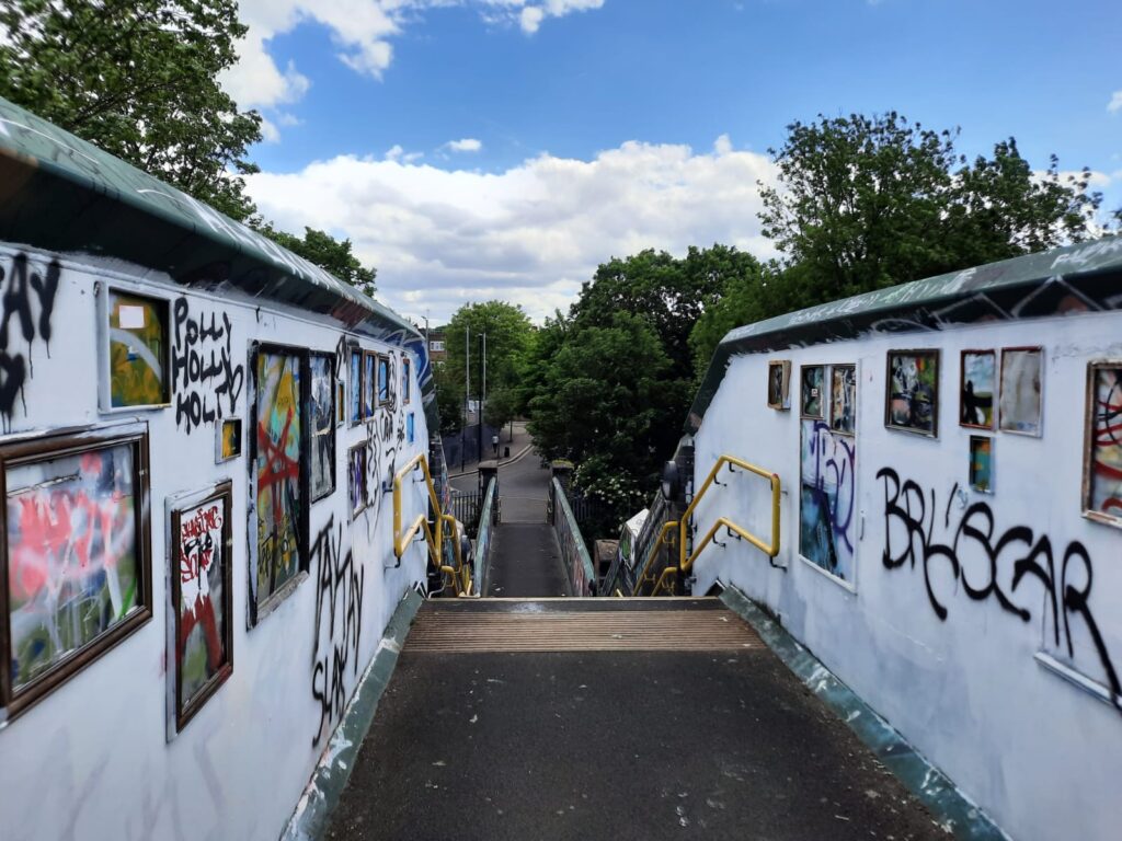
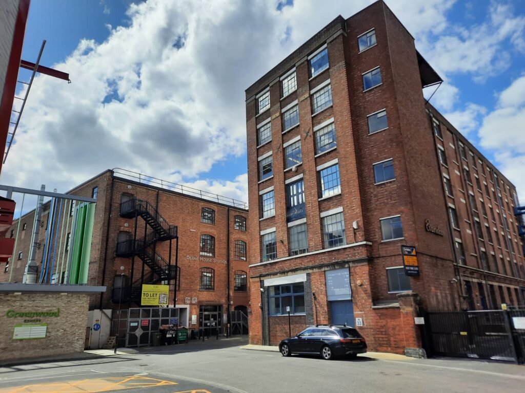
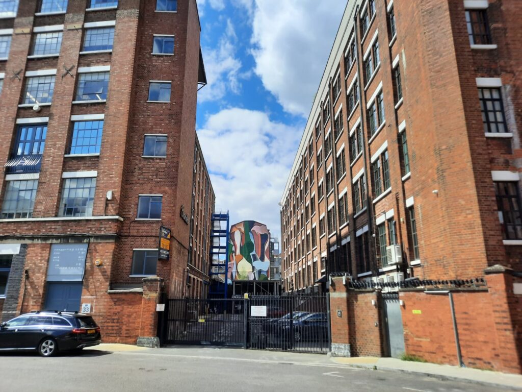
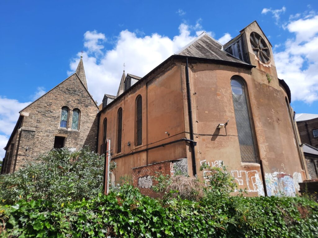
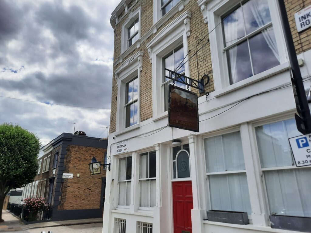
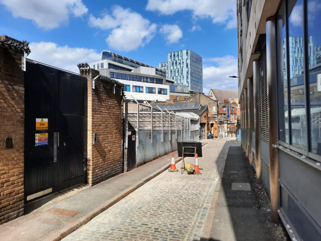
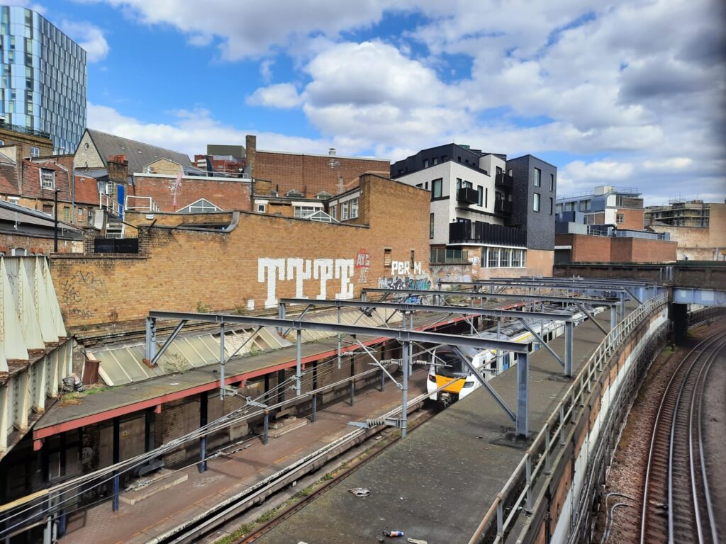
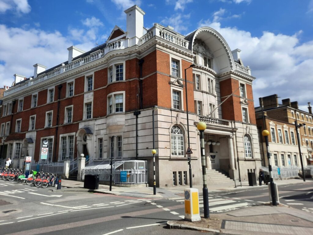
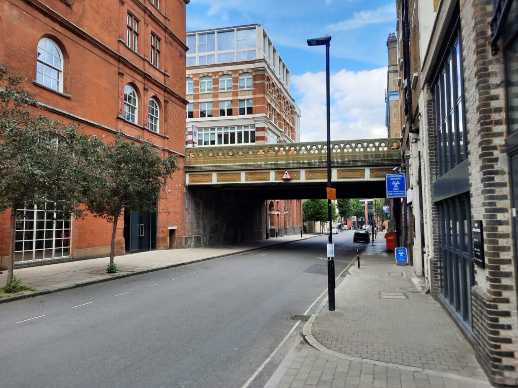
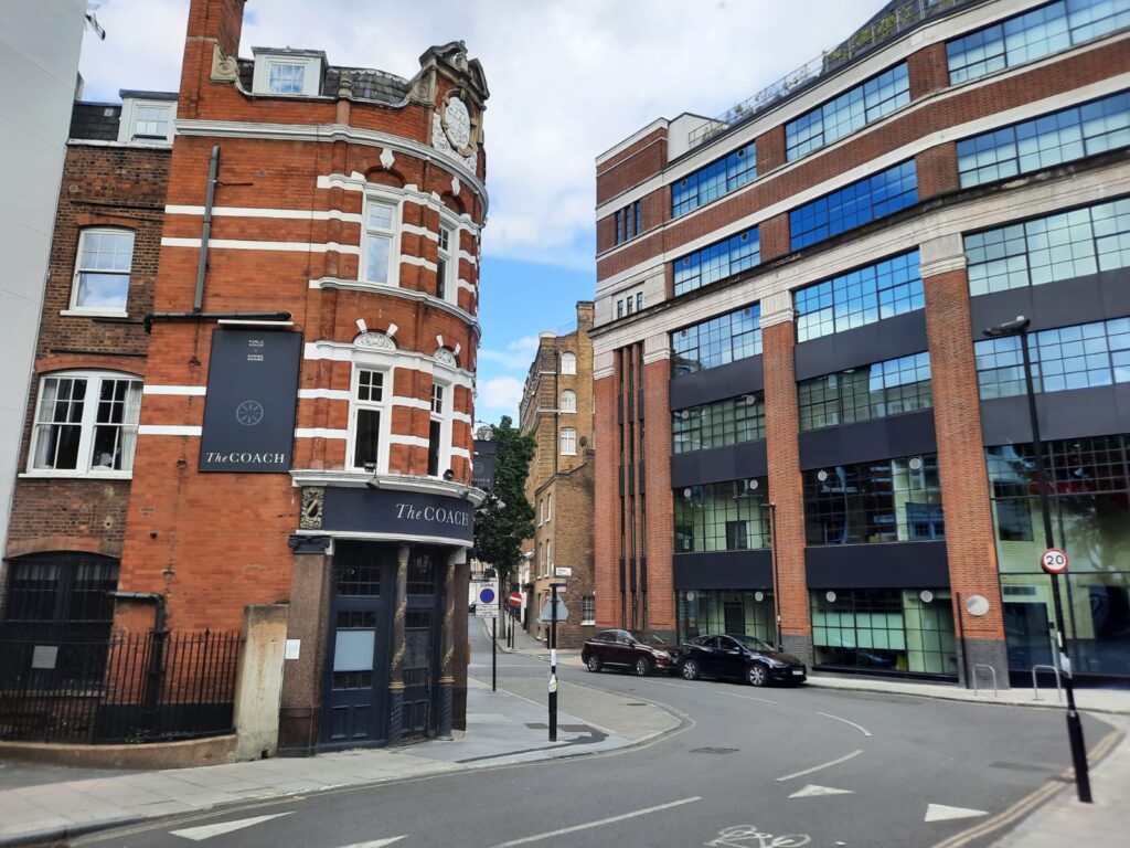
At the bottom of York Rise we cross a railway, as does the Fleet. It’s in that pipe you can see to the right in the bottom image. It’s actually surprising how many London rivers are above your head as you navigate the tube and train network – not just the Thames!We see more nice residential streets as we follow Burghley Road and Greenwood Place. Where Burghley Road crosses Highgate Road, a place called Bridge House once stood. The Fleet fed ponds here until the early 19th century.The buildings get a bit more industrial here as we approach more railway tracks.And as we pass this church, railway sidings prevent us from following the path of the river. Bolton explains that one of the earliest rail disasters happened here in 1861 when an excursion train hit a freight train, killing 16 and injuring hundreds.And so we diverge slightly from the river’s path so we can cross the railway at Kentish Town.Getting off the busy main road, we’re almost back on track. The third image is one of London’s Victorian police stations which is still fulfilling its original purpose rather than being converted into flats.Nothing to do with the walk, but intriguing. The Urban Geographer, who was with me on the walk, started getting frustrated somewhere around here because we were going down side streets and then backtracking. But such is the nature of rivers, not always known for taking the most direct course between A and B.The streets around here have names linked to the Crimean War, dating them to the mid-19th century when they were built over the Fleet. The Crimea pub had already become flats when our guidebook was published.
Walking the Fleet: Anglers Lane to the Regent’s Canal
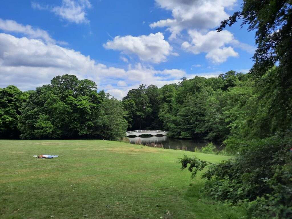
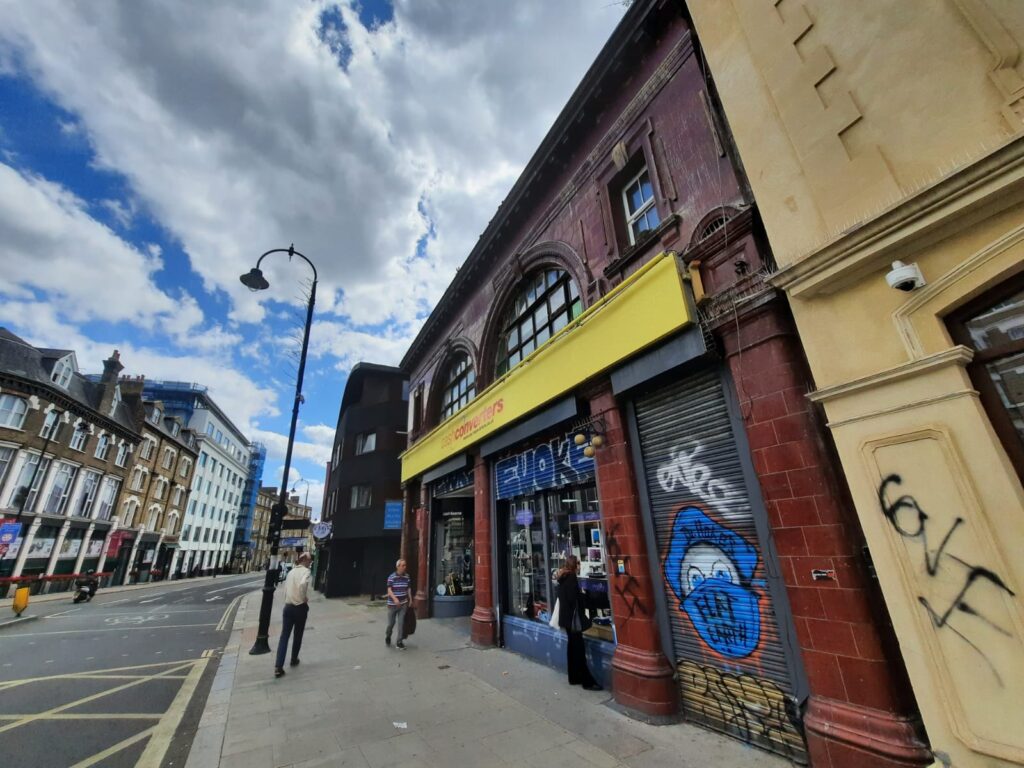
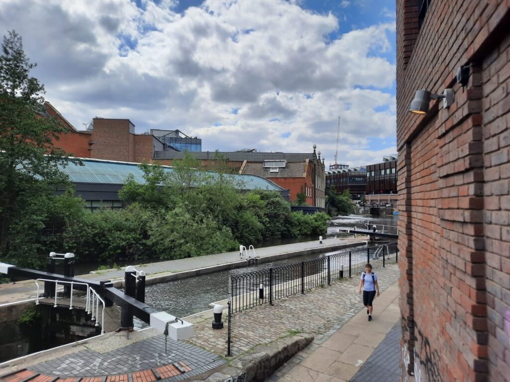
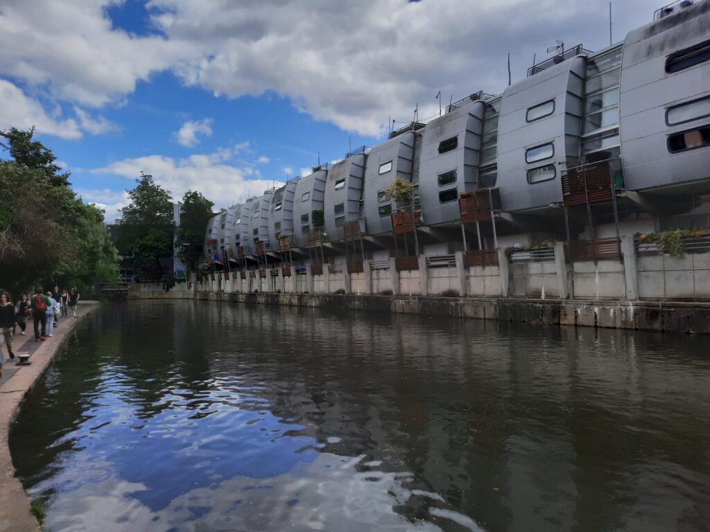
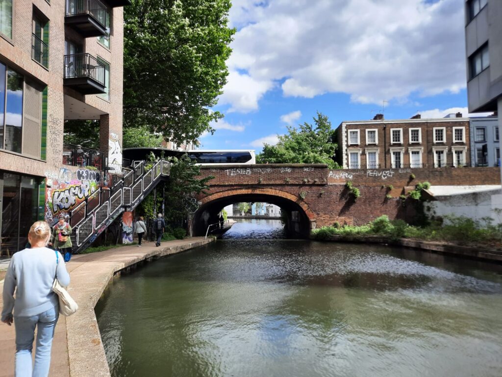
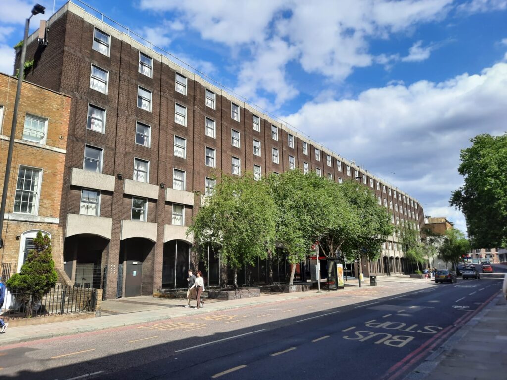
This is Anglers Lane, which sounds a lot more idyllic and riverside-y than this looks. No angling, or indeed any type of fishing, to be done these days.And now, somewhat to the Urban Geographer’s dismay, we’re back on Kentish Town road after that little (literal) meander. And if you know London, you’ll know that this Cash Converters used to be a tube station. The oxblood tiles are unmistakeable. This is the disused South Kentish Town station. It closed in 1924 during a power outage and never reopened. But the site has an even more interesting history. Previously, the Castle Inn stood here, with gardens landscaped around the Fleet. And before that, Lord Nelson is said to have spent time here at an uncle’s houseContinuing our walk, we reach a milestone: somewhere near Quinn’s Pub is where the two branches of the walk meet. Quite a way for two sources of the Fleet, starting in similar areas, to travel before merging.And as the Fleet joins the Regent’s Canal, so do we. Or rather it goes under the Regent’s Canal, as the paths of these two waterways overlap for a stretch. The Regent’s Canal opened in 1812, and the Regent in question was the future George IV. The canal links the Paddington arm of the Grand Union Canal with Limehouse Basin and the Thames.Bolton points out the Grand Union Walk flats by Nicholas Grimshaw (1989) as a striking and influential bit of architecture. Agreed, but they could do with a good clean.A little further along the canal, and then back up to street level.
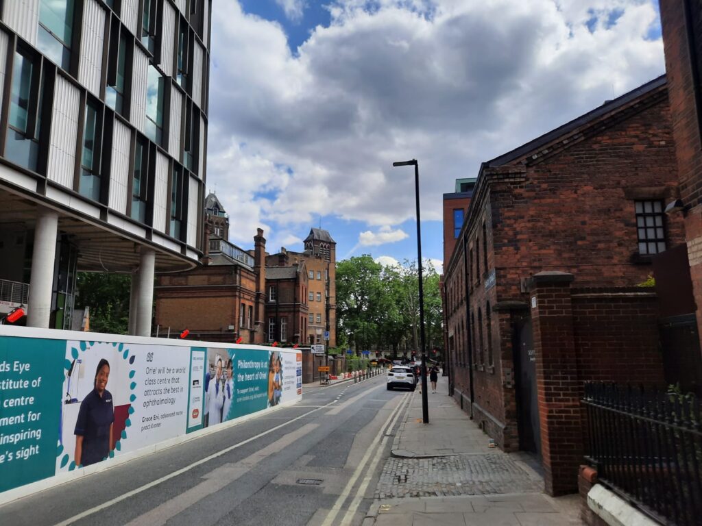
Royal College Street to St Pancras Old Church
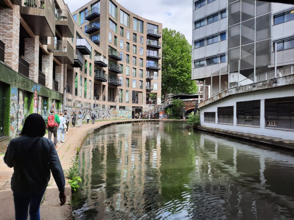
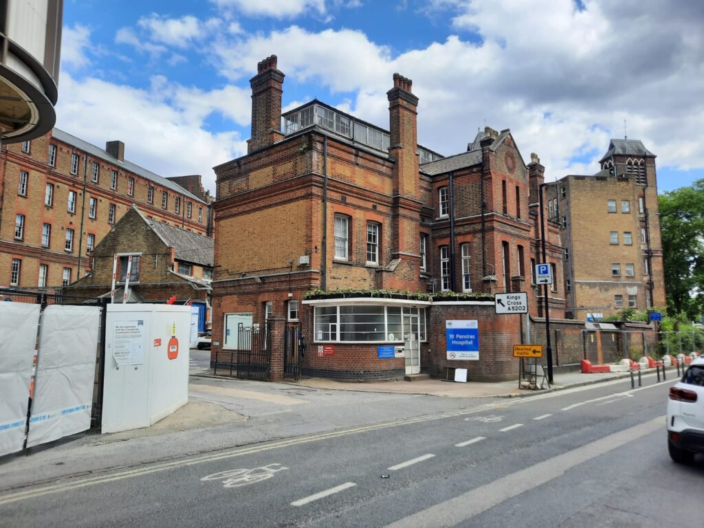
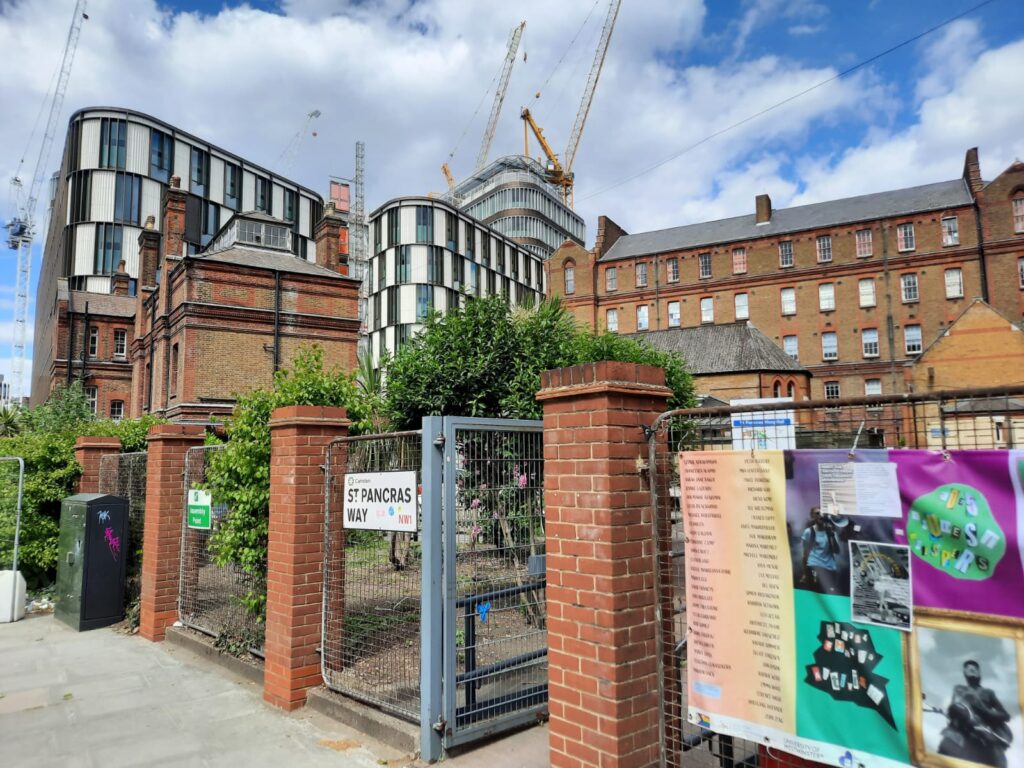
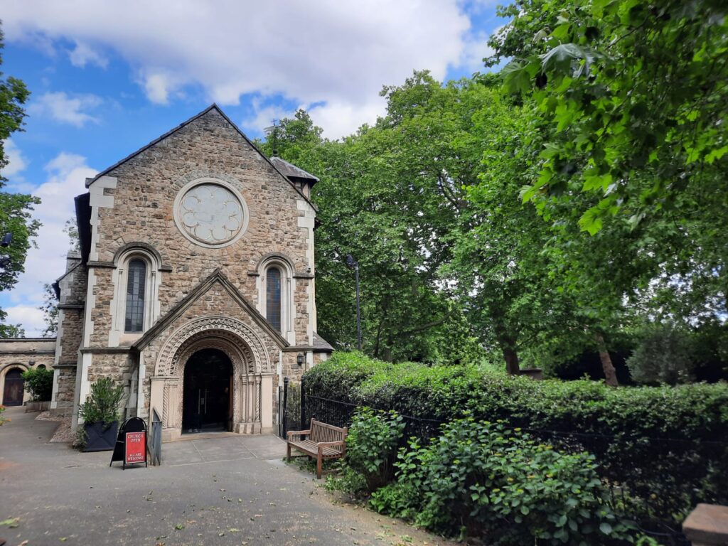
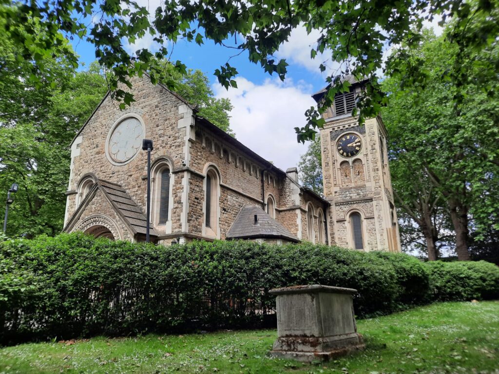
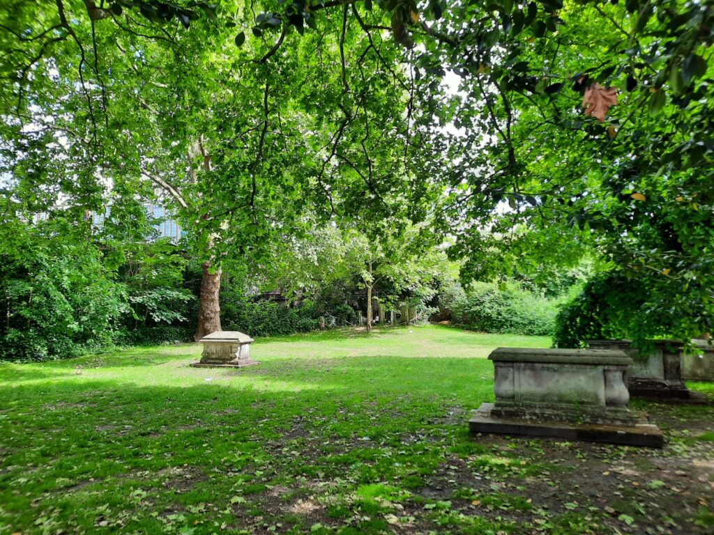
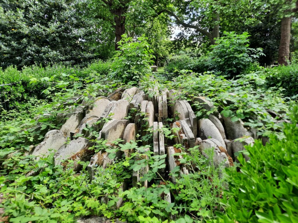
Bolton discusses two notorious murder cases along Royal College Street, but that’s a bit grim for such a nice day. Instead I’m going to bring our attention back to the Fleet, which once again rushes under a manhole cover outside the pub. At least I think it was this manhole cover: Bolton talks about being able to see the Fleet beneath, but I couldn’t find one that matched that description.And now we’re on St Pancras Way. This is another area that has changed already since our book was published in 2011. Bolton talks about storage yards, depots and homeless hostels, but as you can see those ubiquitous newbuild flats have taken the place of a lot of this. The Fleet used to flow to the right of this street, past factories and the Royal Veterinary College.This is now St Pancras Hospital, for the treatment of mental health issues. But the Victorian buildings were once the St Pancras Workhouse. It had wards for people with mental health conditions or developmental delays (I won’t repeat the terminology of the time). And it also had ‘Oakum Rooms’ in which inmates unpicked rope to earn their keep.St Pancras Old Church is old indeed. One of Britain’s oldest Christian sites, in fact. There’s apparently been a church here since 314 AD. Older images (including one here) show the River Fleet running past the church. St Pancras, or Pancratius, was a Roman convert to Christianity, and martyr at the age of fourteen.Now it’s a shame I didn’t come here sooner, because I would have seen the Hardy Tree instead of the place it used to be. The author Thomas Hardy was apparently involved in placing these stones here in 1882. That was the year the church’s burial ground was, controversially, disturbed to allow the new Midland Railway to pass through. Reminds me a bit of Bolton Street Cemetery in Wellington. The tree fell in 2022.
Walking the Fleet: Around King’s Cross Station
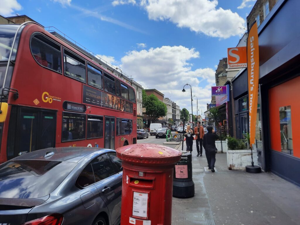
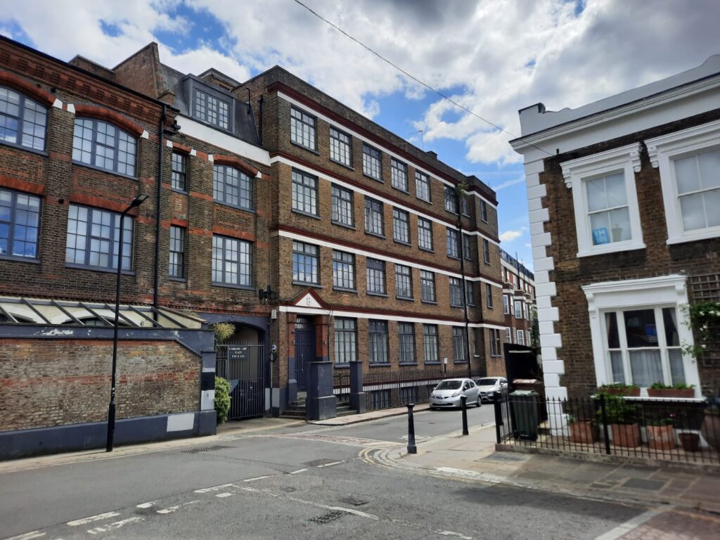
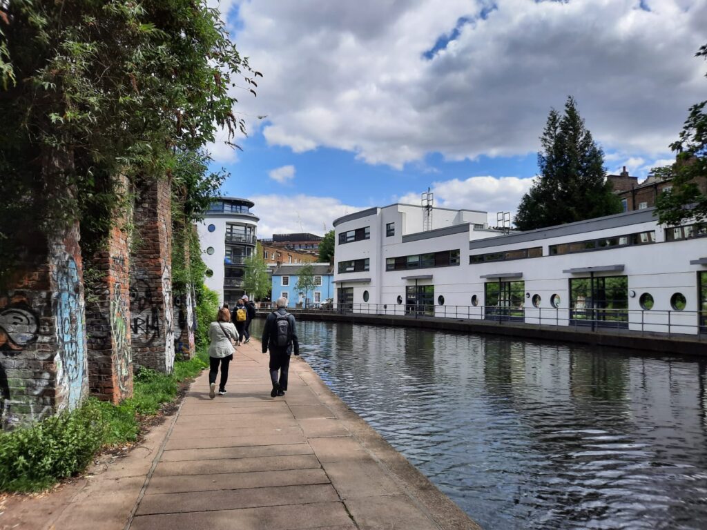
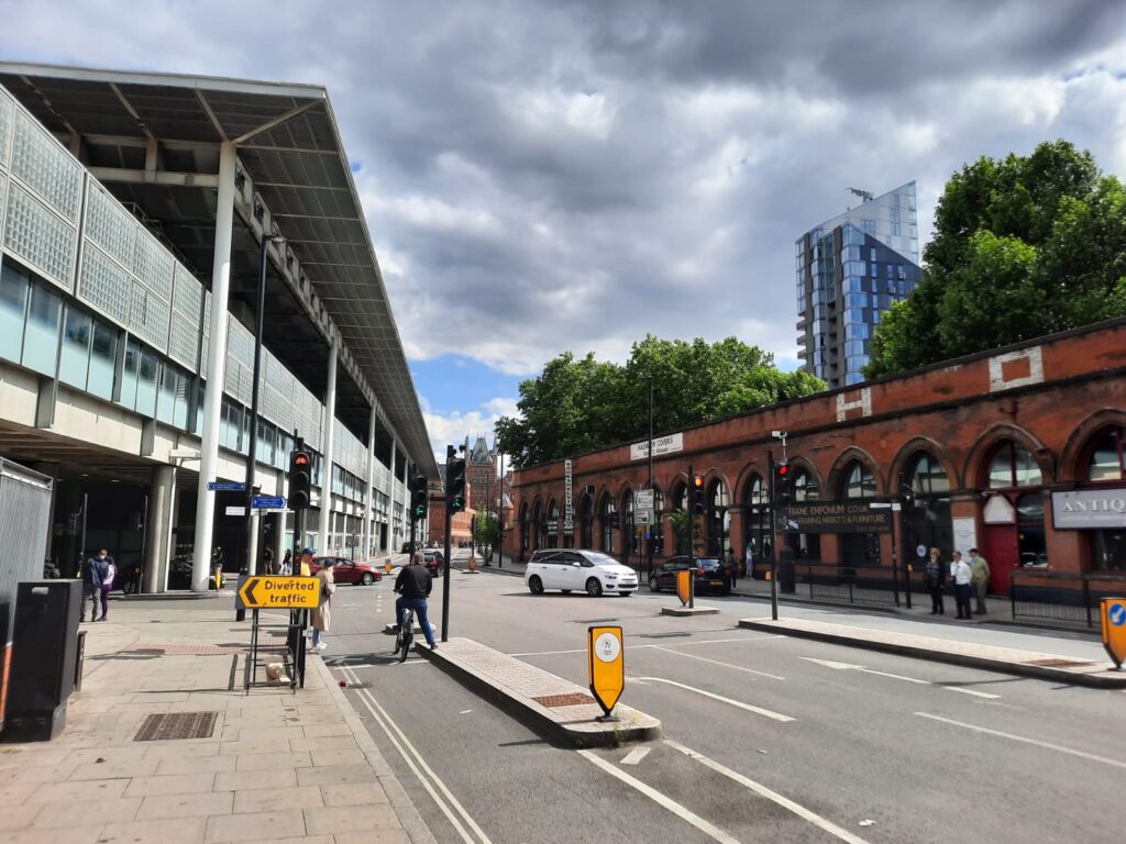
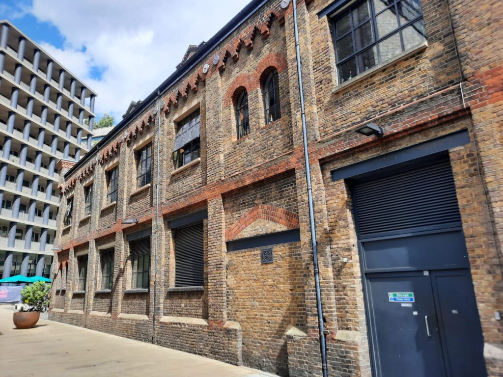
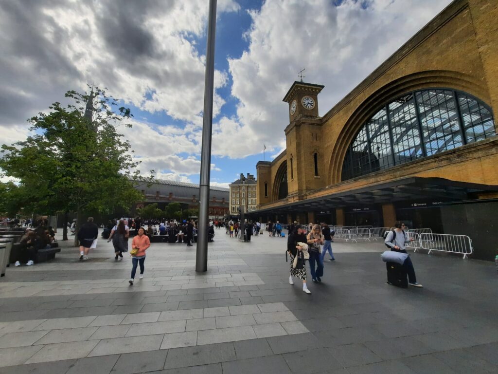
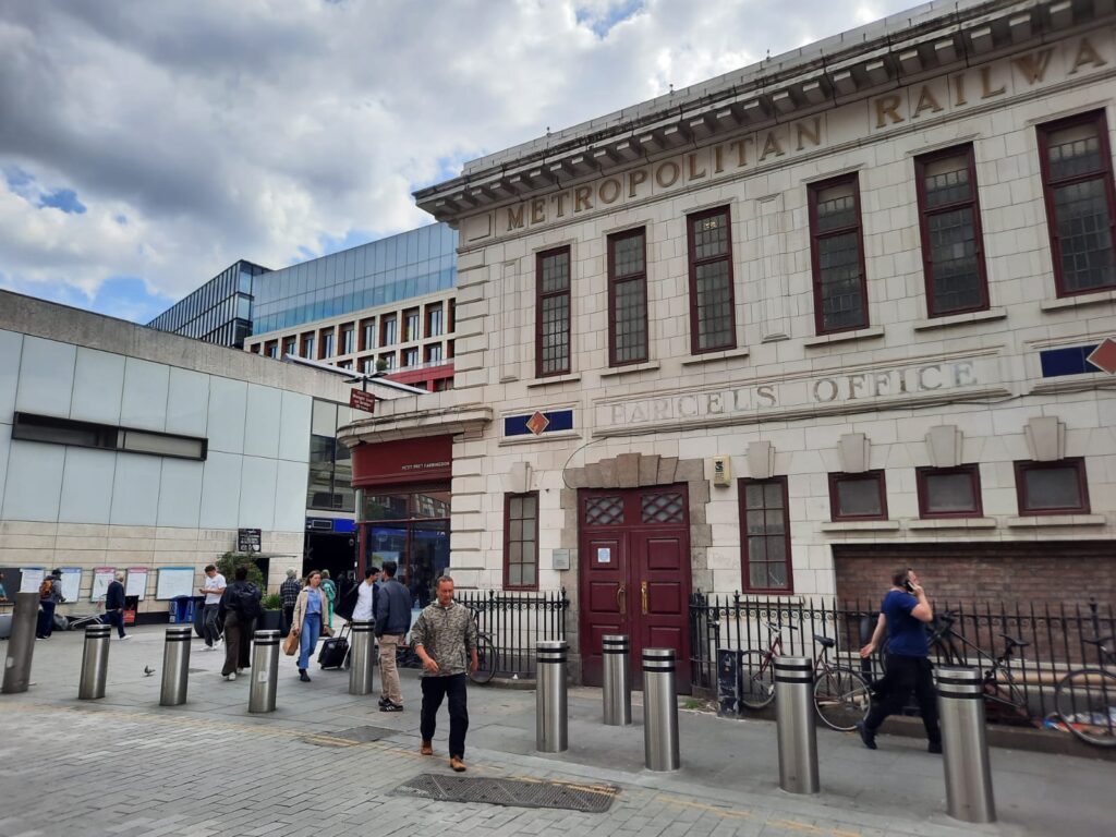
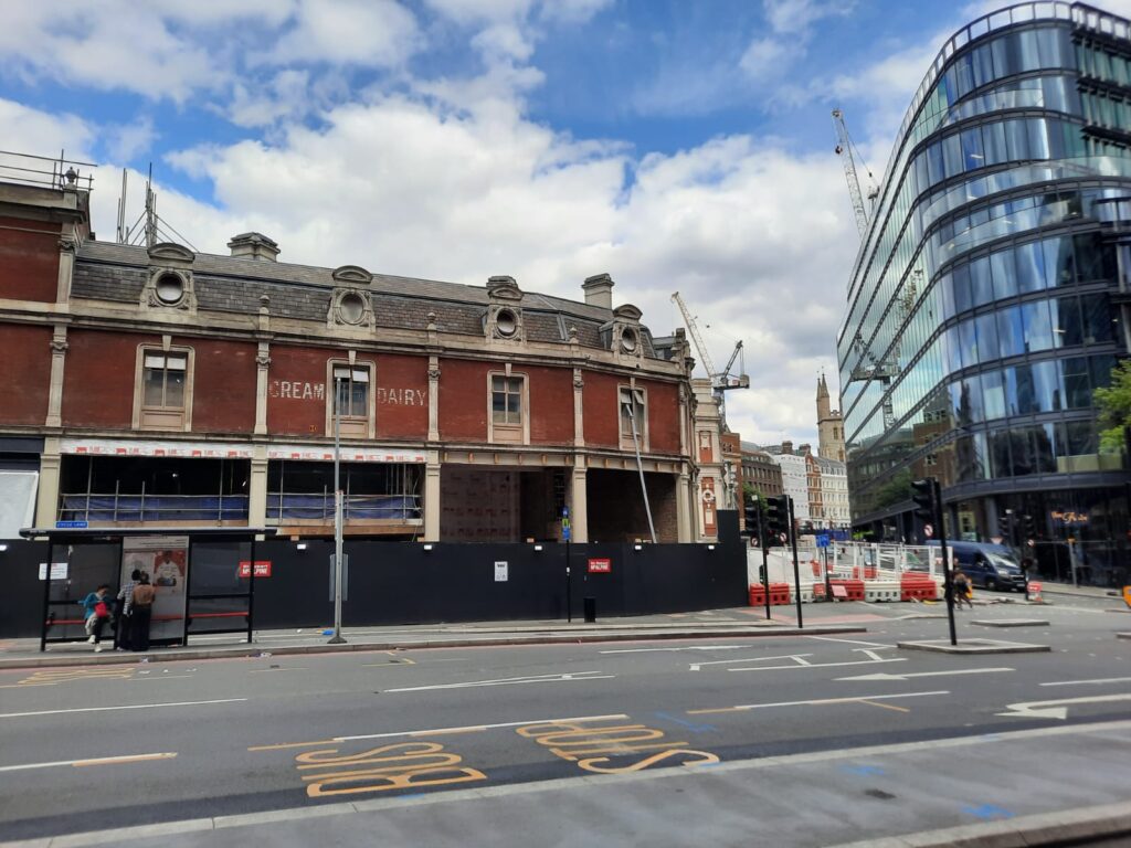
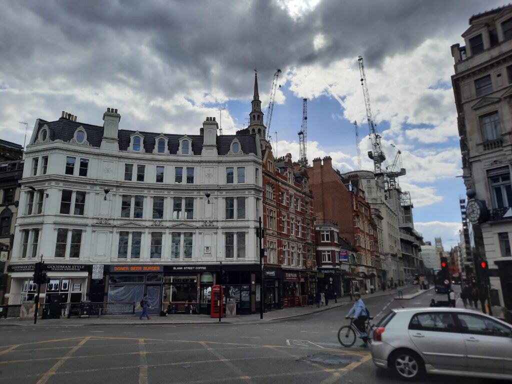
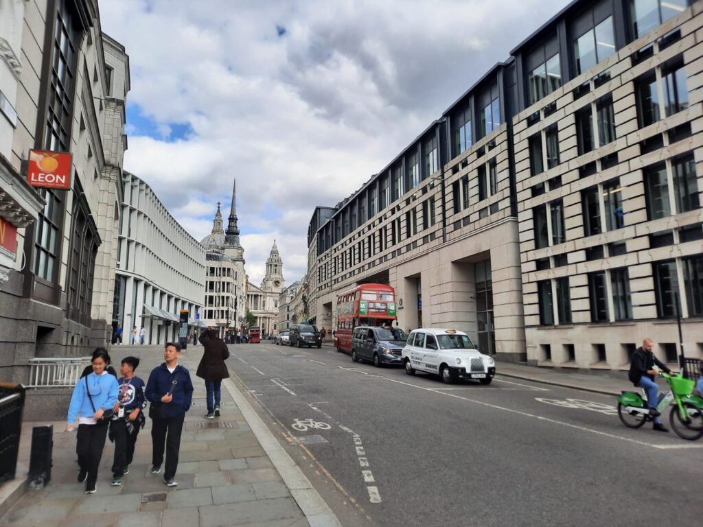
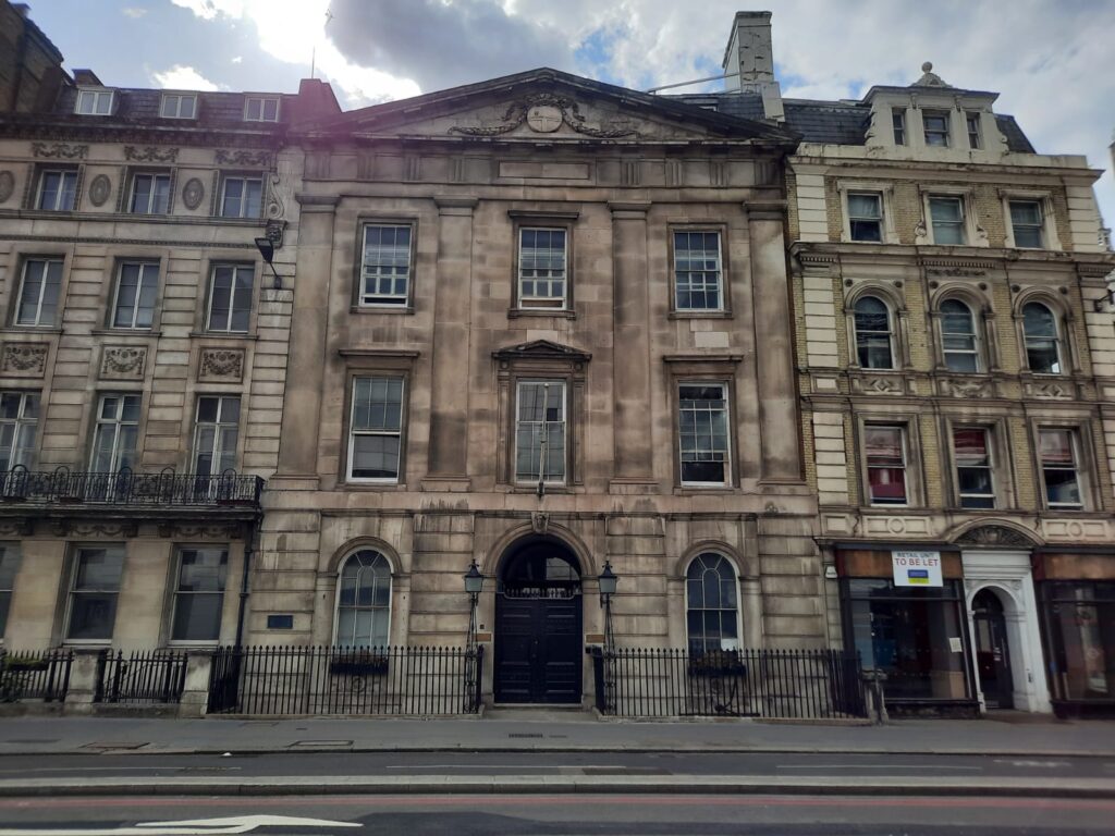
OK we’re getting there, folks! Well, actually still quite a way to go. But hang in there! We’re coming up to some very interesting bits as we come to more historically built up areas. We’re now around King’s Cross Station. The second image shows the German Gymnasium – an event space at the time of our book and now a restaurant. This isn’t its best side, actually, see here for a better picture. The building was originally exactly what it sounds like, built by the German Gymnastics Society in 1865. It was a venue for the Olympic games in 1908, and a forerunner event to the modern Olympics in 1866.This curve to the Great Northern Hotel follows the shape of the Fleet’s river bank. Sorry for the blurry photo.Before King’s Cross Station opened in 1852, this area was known as Battle Bridge. It was so named for a bridge with a dubious connection to Boadicea and her battle with the Romans. One of the reasons her burial site is said to be under various King’s Cross platforms. The station’s name comes from a monument to George IV which only lasted ten years, but contained a police station, pub, and camera obscura amongst other attractions. The Fleet flows under King’s Cross Square.Nearby, the Scala was built as a cinema in 1920. After a stint as a primatorium (as in housing apes), it was again an arthouse cinema in the 1980s. It closed due to a legal case when it screened A Clockwork Orange, still banned in the UK at that point.
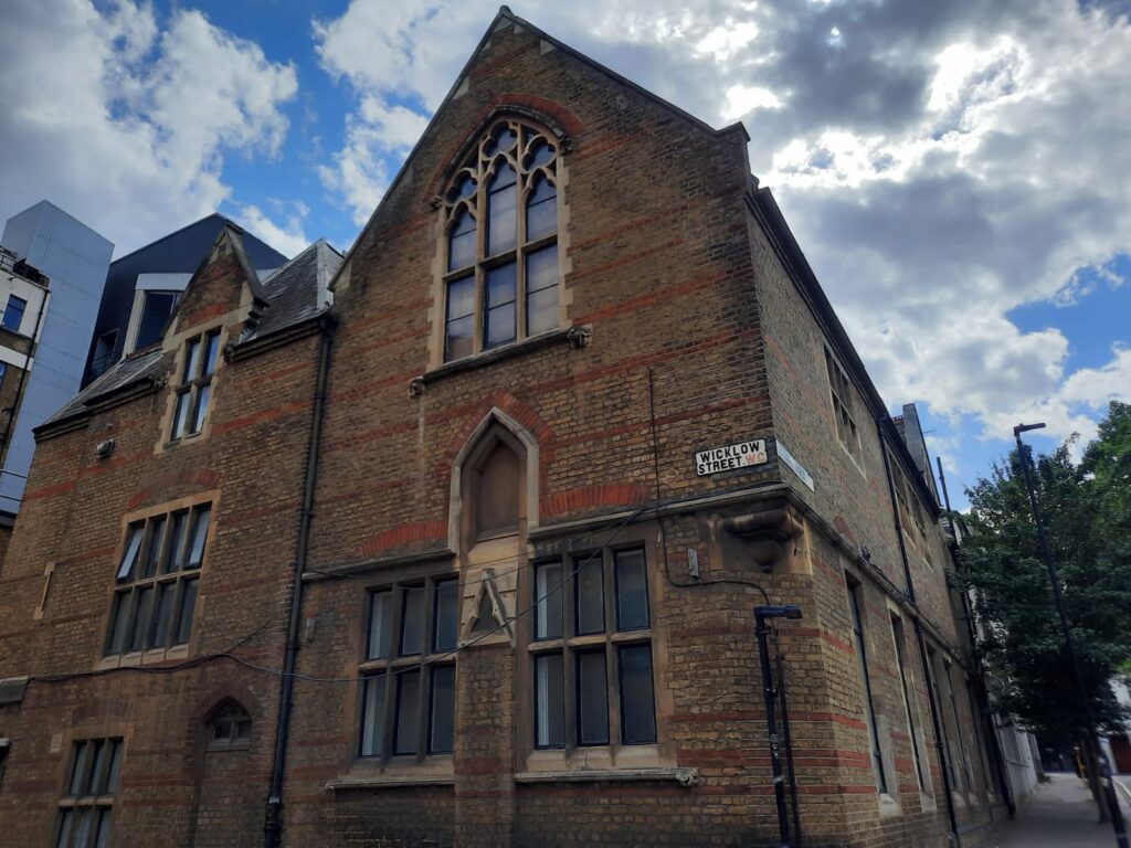
St Chad’s Place to Riceyman Steps
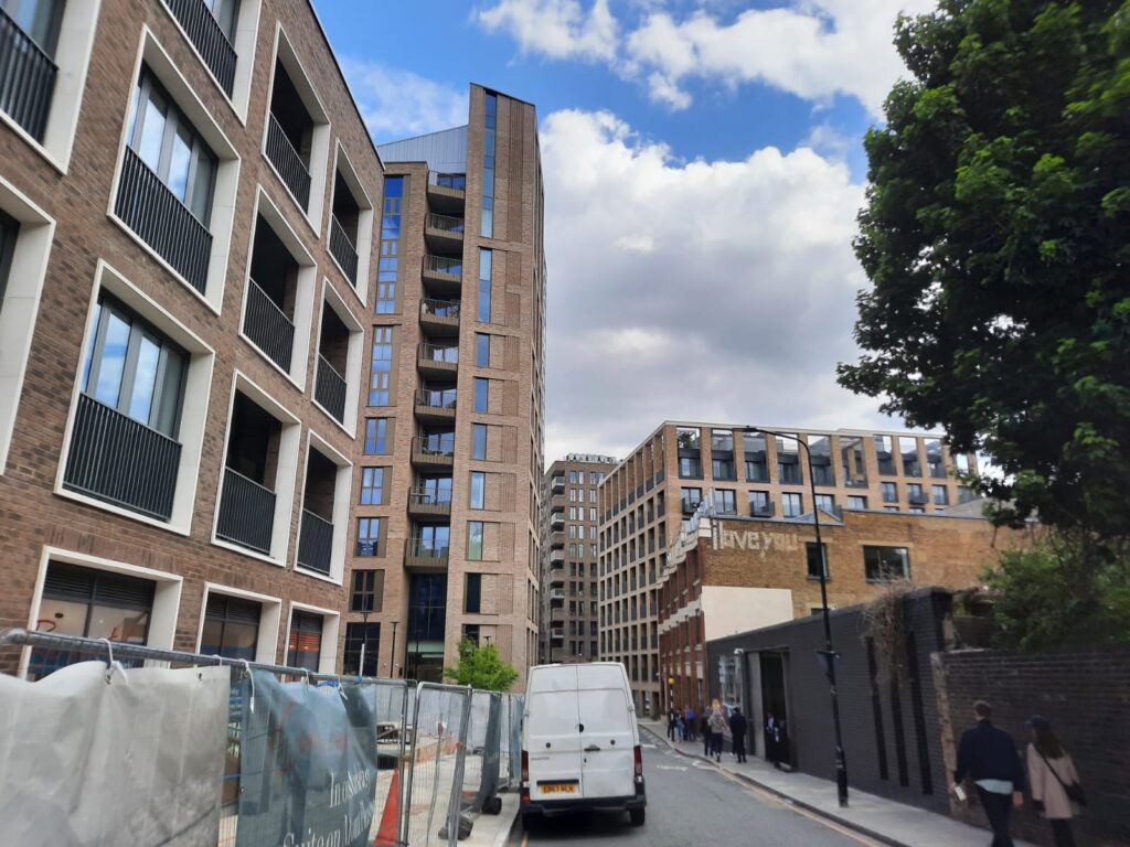
This building, with its painted elm statue of Mercury, is on St. Chad’s Place. St Chad is the patron saint of wells and springs, so there were healing waters about. In this case ‘purgative’ and ‘diuretic’ so maybe just as well the railways did away with St Chad’s Gardens, a popular pleasure ground.Heading around to some back streets, we’re able to glimpse a Thameslink train running through the Fleet Valley. The platforms on the left are no longer in use, replaced by a new stop at St Pancras in 2008. The tracks were laid originally for the Metropolitan Line in the 1860s: the Fleet was buried and the railway took its place.Spotted along the way: the former church school of the now-demolished St Jude’s Church.The street names here – Weston Rise, Vernon Rise and Penton Rise, remind us we’re in a river valley.An old courthouse where The Clash once stood trial for shooting pigeons is now Clink78 Hostel.And somewhere right around here is where the Fleet made its last stand. In 1862 during the construction of that railway line we saw, it burst from its sewer and got to a depth of ten feet all the way to King’s Cross.Also demolished during construction of the railway was Bagnigge Wells Spa, once very popular but by this time rather sordid. The Fleet ran through its gardens. And this is a little bit of London’s memory I definitely would have overlooked without the prompt of our guidebook.More or less across the street is this bulky Travelodge. Looking underneath its arches, we can just about spot Riceyman Steps, location for a 1923 Arnold Bennett novel of the same name.
Walking the Fleet: Black Mary’s Hole to… a Drain Cover
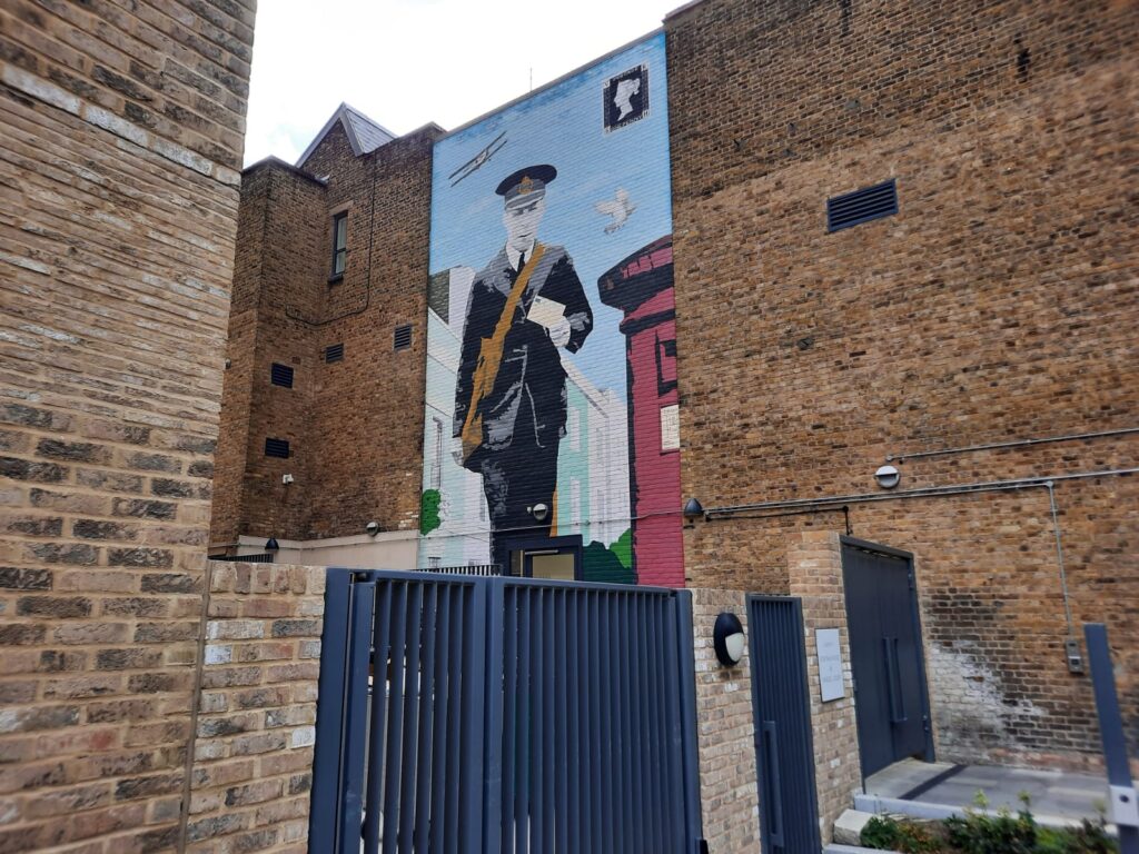
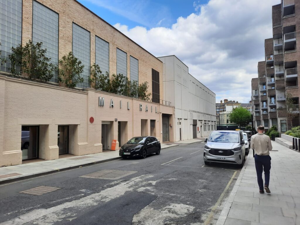
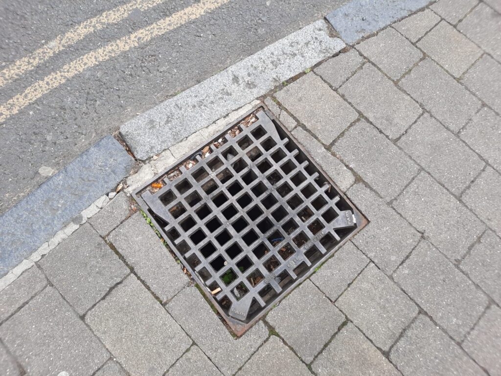
Somewhere around here was once a well called Black Mary’s Hole (origins of the name unclear). It was a chalybeate spring, if you remember the term from earlier, but ended its life in ignominy as a cesspit.Now here’s another place which is vastly different than it was when Tom Bolton was writing his walker’s guide. This area is known as Mount Pleasant, and was then home to an immense Royal Mail Sorting Office. It got me thinking a lot about place names. Let’s start with Mount Pleasant. That one is a dissimulation: the Post Office bought this land after Cold Bath Fields Prison closed in 1877. Naming it Mount Pleasant was a way to create more positive associations. And now that the sorting office is gone (mostly), the memory of the place lives on, as in so many corners of London. These new buildings have names like Sorting House and Postmark to remember what’s gone before.This is where you’ll find the Postal Museum, along with the Mail Rail, their own underground mail that helped deliver letters and parcels for decades. Less likely to go down in history, this was also the site of a small fit of temper by the Urban Geographer when I briefly thought we might have gone wrong directions-wise. There he is on the right, sulking.Subtle signs of a river valley as we cross Mount Pleasant and pass under Rosebery Avenue.Around here was once a slum called Hockley-in-the-Hole, ‘hockley’ meaning muddy, no doubt due to the Fleet. Where this pub is, prize fights once took place, as well as bear-baiting, bull-baiting and cockfighting. A bear killed the pub’s landlord in 1709.If you listen carefully, this is another spot where you can hear the Fleet beneath your feet.
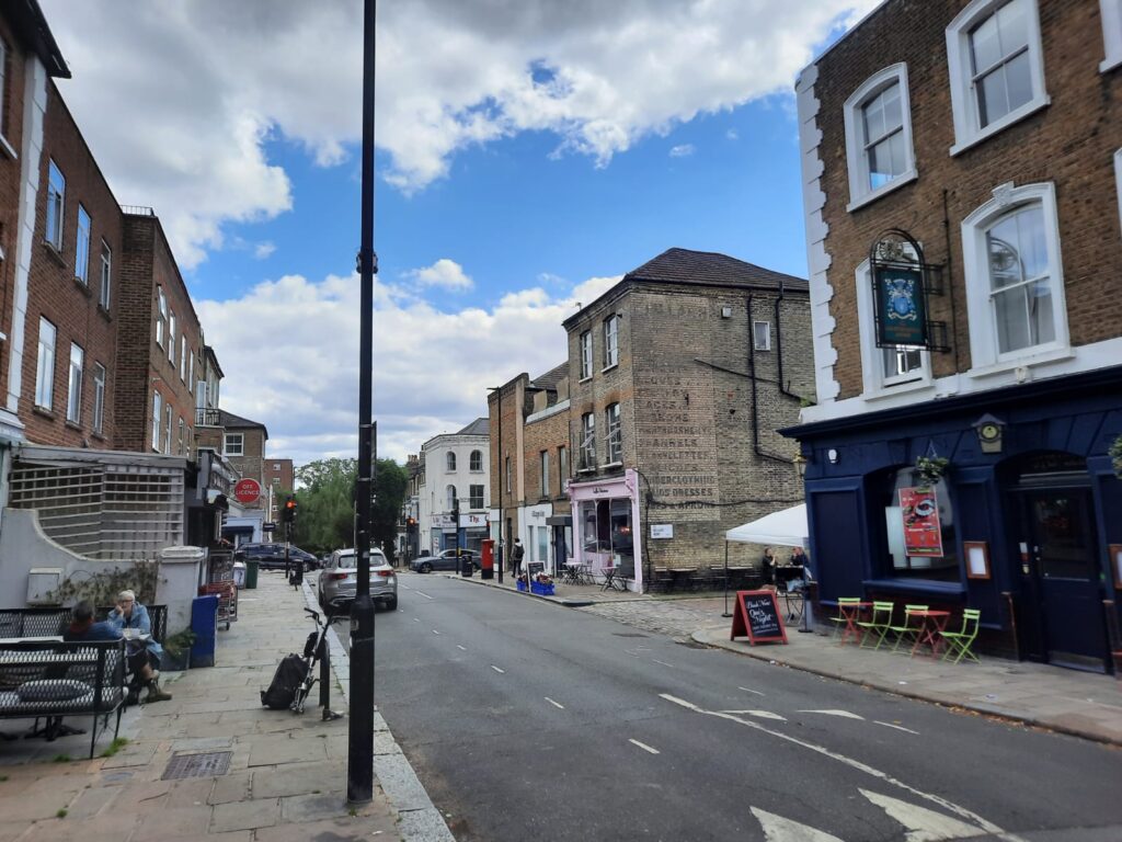
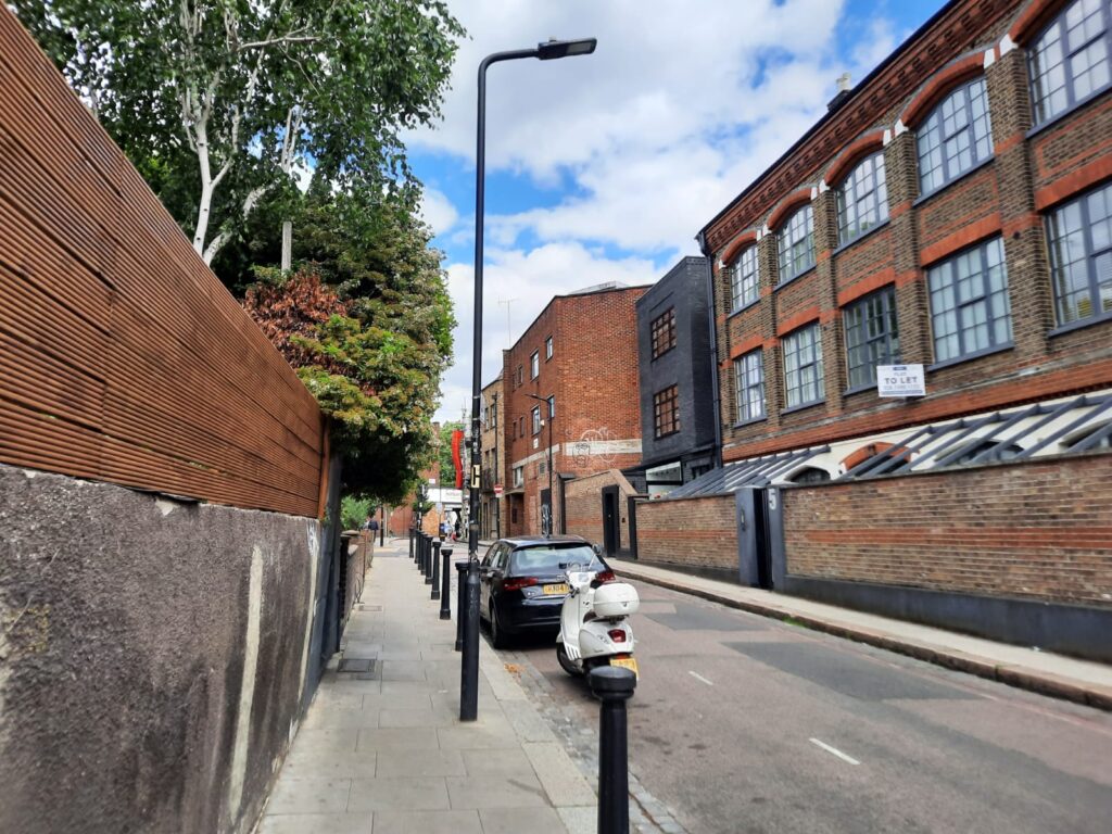
Herbal Hill to Saffron Hill
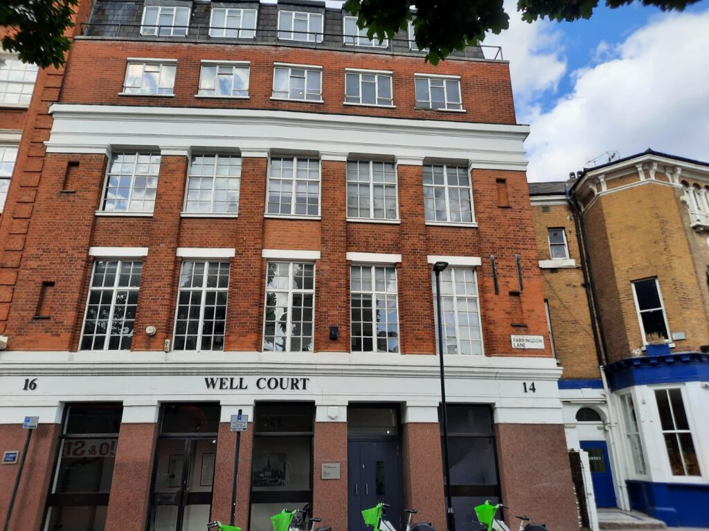
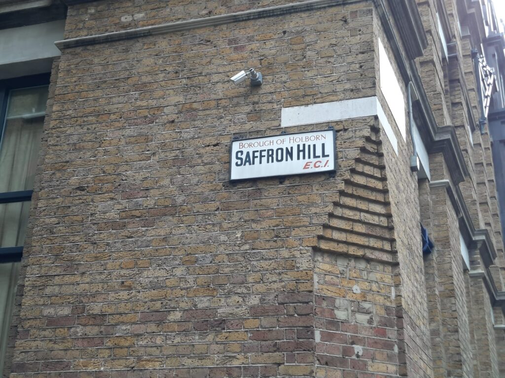
This area was a ‘Little Italy’ from the 19th to the mid 20th centuries, with just a few Italian businesses and a church remaining now. Long before that, it was the Bishop of Ely’s garden, as remembered in street names like Herbal Hill, and a line in Shakespeare’s Richard III.And now we pass over a busy road into Clerkenwell and stand in front of Well Court. Well Court because this is where the well itself is. Bolton says you can visit by appointment: I would love that but didn’t see any indication online that it’s still the case. But anyway, Clerkenwell is one of many wells in the area, some of which fed the Fleet. The quality of the water brought brewers and distillers to the area, including Gordon’s and Nicholson’s in the late 18th century.This section of the Fleet, close to Turnmill Street, was once known as the Turnmill Brook because of all its windmills. It was also a 16th-17th century red light district popular with English dramatists!Cowcross Street, by Farringdon Station, is where cattle once crossed the Fleet on the way to market at Smithfield. Live animals were banned from Smithfield in 1855.Saffron Hill sounds nice and looks fine (the name comes from it being more of the Bishop of Ely’s former gardens). But this was once a notorious rookery, or slum. It’s the site of Fagin’s kitchen in Oliver Twist. And the slum’s Red Lion pub apparently had a trapdoor to aid the escape of criminals like Dick Turpin. The Fleet was disgusting by this point in its journey, full of refuse and sewage. The building of Farringdon Road dealt with that and much of the rookery in the 1840s.
Walking the Fleet: Smithfield to the Fleet Inlet
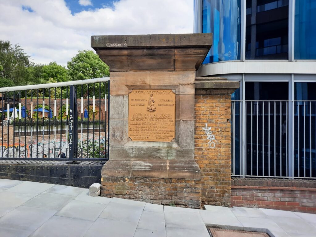
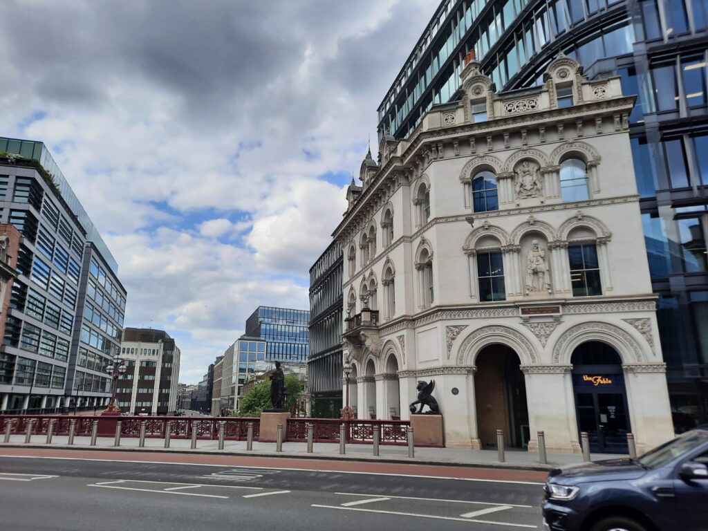
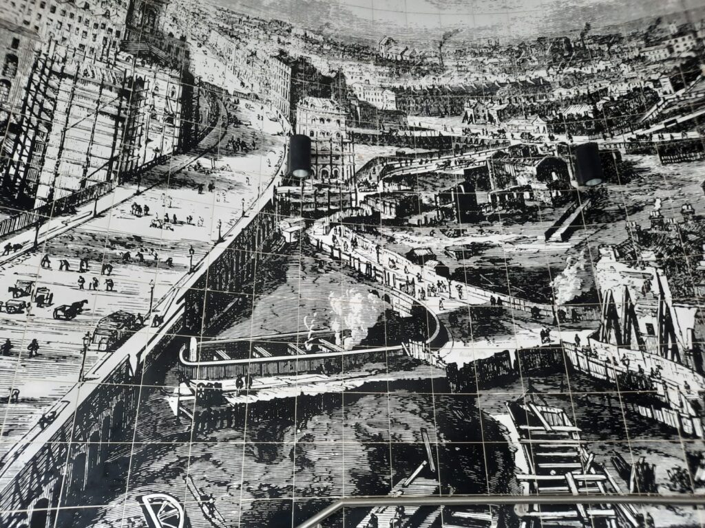
And here is part of Smithfield Market, a very historic London market but also a long-standing polluter of the Fleet. It’s been a meat market for centuries so contributed a lot of blood and guts to the river’s waters. Between the market and the Fleet this area was also rife with disease: hard-hit in the Great Plague of 1665 for instance. This part of Smithfield is preparing for its next incarnation as the Museum of London, which has vacated its previous Barbican home.Now we climb up the stairs to the Holborn Viaduct. The stairwell has tiles depicting the building of the Metropolitan Railway through the Fleet Valley. Holebourne, as the name originally was, means stream in a hollow, and was the name for this stretch of the Fleet. This is a very Victorian bit of engineering: replacing a medieval bridge, with some of the world’s first electric streetlights, and with statues representing Art, Science, Commerce, and Agriculture. It dates to 1869.You can still imagine, looking down, that this was once a river valley. The bridge that preceded the Holburn Viaduct used to mark the end of the navigable river. After the Fire of London there was a lot of dredging work here to try to turn this section into a canal with wharves on either side. The project failed because the Fleet was still very polluted. In 1732 the river was covered over here, and Fleet Market held on top of the arches. This in turn was cleared in the 19th century to build Farringdon Street.The Fleet inlet was at one time London’s busiest port. The goods included corn, wine, cheese, oysters, and paving stones. In the 11th century, stones offloaded here were used to build the medieval St Paul’s Cathedral. When Bolton first wrote his guide, a disused Fleet Telephone Exchange stood where the shiny building in the top image now is. Oyster shells found during construction recall the days of busy trade.
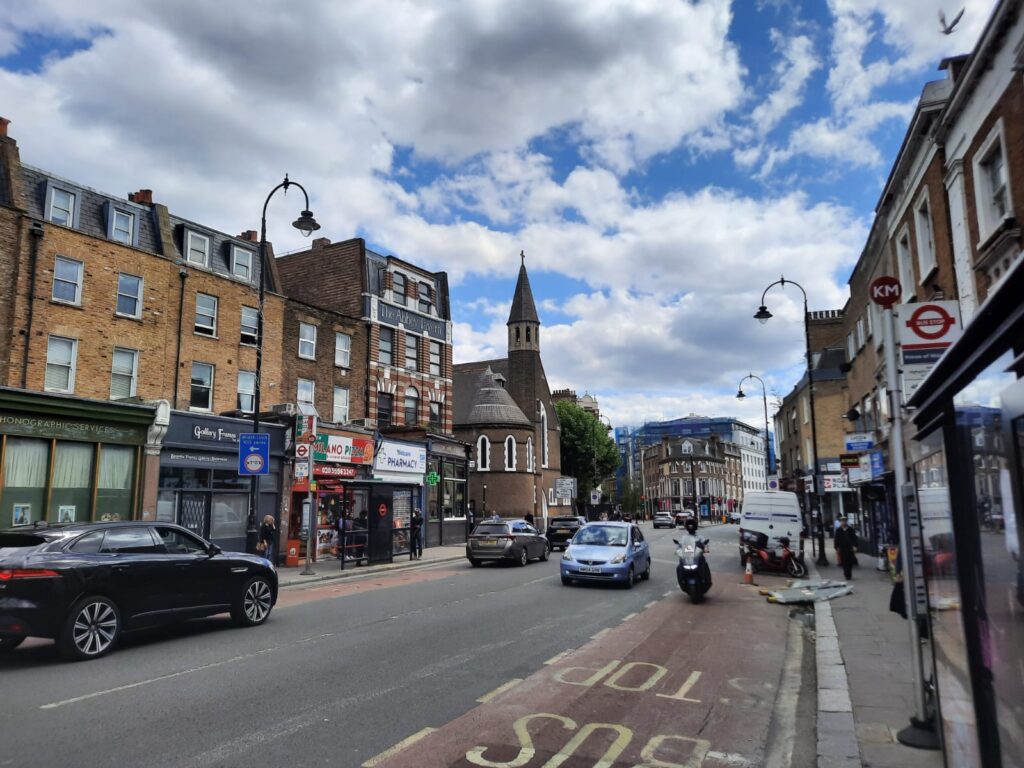
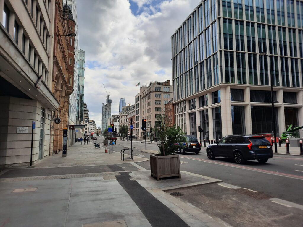
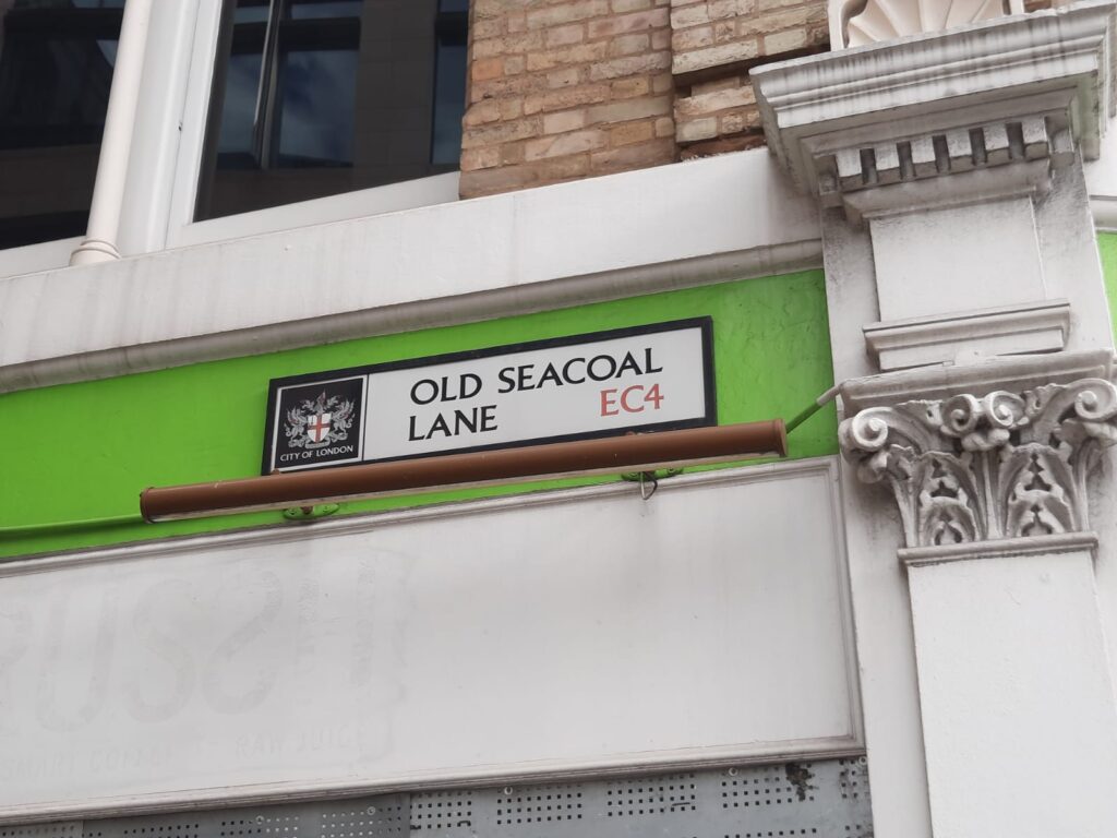
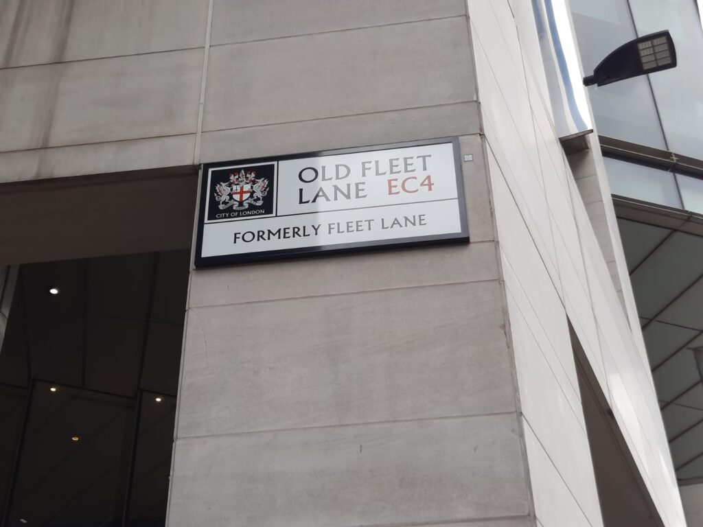
Old Seacoal Lane to The Black Friar
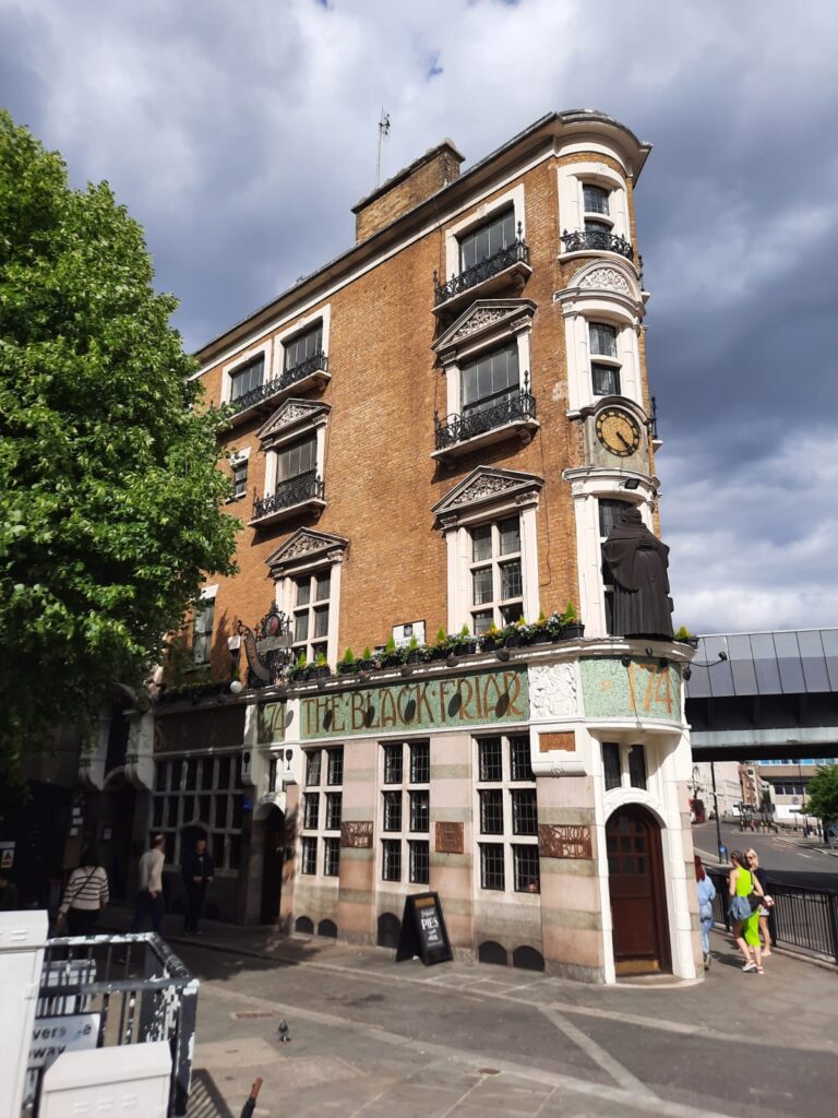
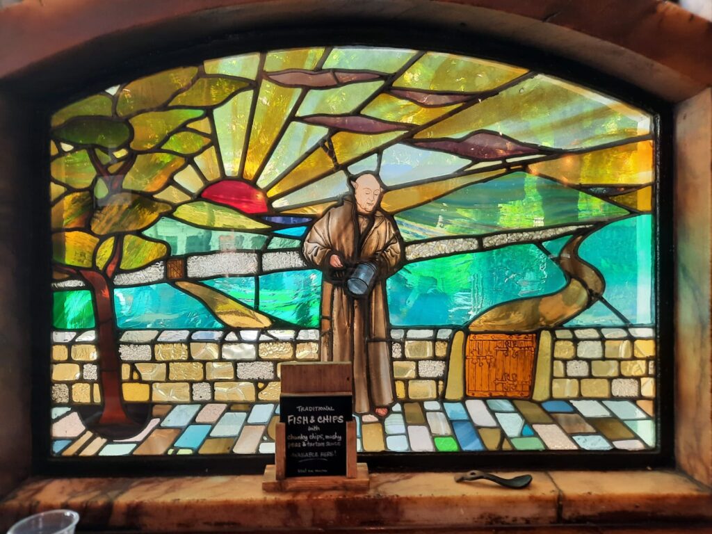
Even if the river is buried these days, the street names remember. The Fleet also lent its name to the Fleet Prison, and the Liberty of the Fleet. The former was burned down three times before finally being demolished in 1846: twice by rioters and once in the Great Fire. The latter was an area beyond the laws of the City of London. A lot of runaway couples got married here, before the Marriage Act of 1753 standardised things.Let’s cross Ludgate Circus and continue to New Bridge Street. Ludgate Circus is the site of an ancient ford across the Fleet. New Bridge Street was built in 1765 over the remains of Wren’s failed New Canal. Stones from some of his bridges were found under Ludgate Circus, embedded in the Fleet sewer.We’re close to Bridewell now, site of St Bride’s Church and another important well. This building houses Bark and Co. Solicitors. But before that, it was the original gatehouse and gate of Bridewell Prison (there were quite a few prisons around this area). And even before that, it was Bridewell Palace, built for Henry VIII and location for Holbein’s The Ambassadors.And now we encounter another familiar spot, The Black Friar. This whole area was once dominated by two religious institutions, the Whitefriars Monastery and Blackfriars Monastery. We’ve done that in depth before, so I won’t repeat myself here. I’ll just add one interesting tidbit from the book. After the Dissolution of the Monasteries, the Liberty of Whitefriars, as the area of that monastery became known, was another notoriously lawless place. Great for criminals and those evading arrest. Anyway, the Black Friar is London’s only Art Nouveau pub, featuring some riverain mosaics. I dropped the Urban Geographer off here with a pint, and continued onwards.
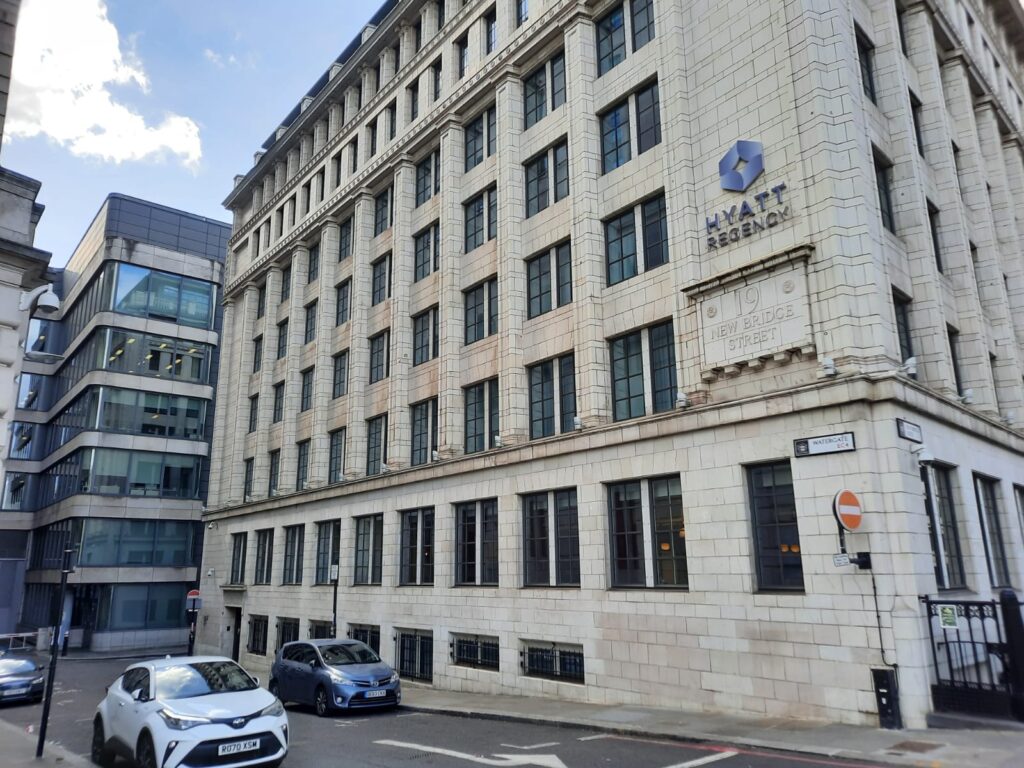
Walking the Fleet: Watergate to the Fleet Outfall
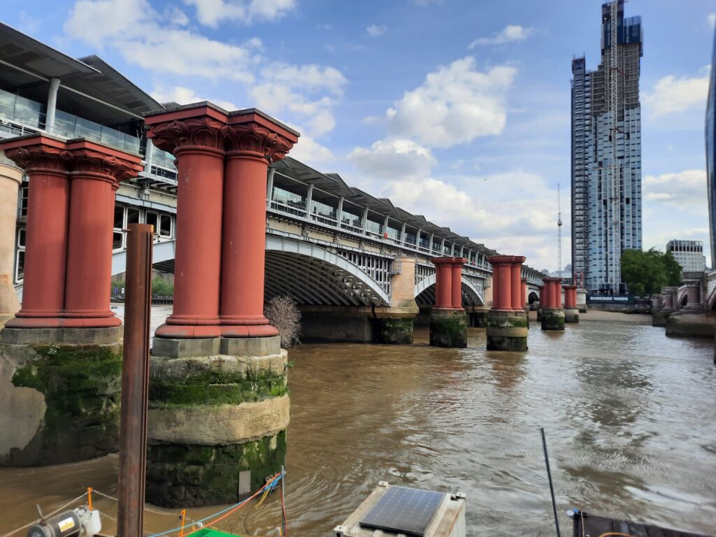
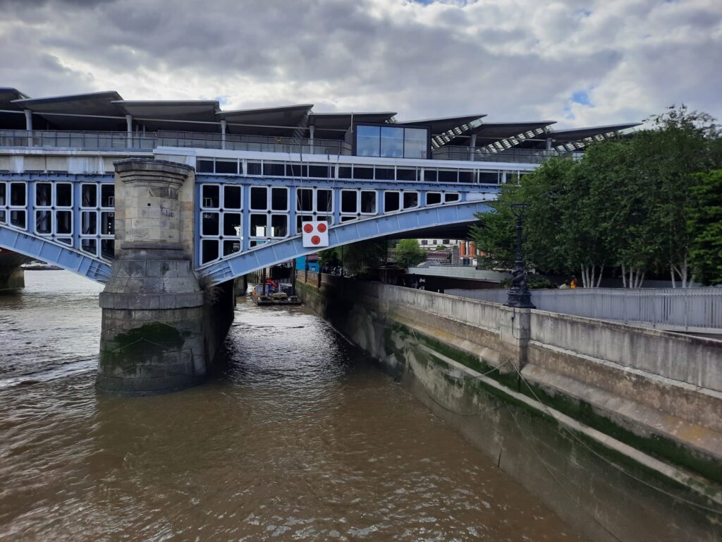
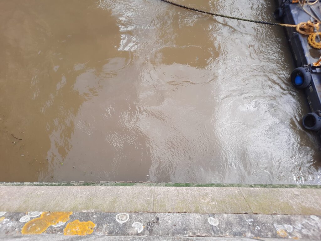
Watergate, as the street sign here reads, marks the old bank of the river. Bridewell Prison had a river gate here. The reason the waterline is no longer here is because of that most Victorian of engineering projects the Victoria Embankment. Sir Joseph Bazalgette completed these sewage and river embankment works in 1870. Multiple underground sewers now carry away much of the Fleet’s waters.The first Blackfriars Bridge dated to 1769. These pilings remained in place when the bridge was dismantled in 1984, replaced by a newer version as the older one couldn’t take the weight of modern trains. Uniquely, in this station, the platforms are on the bridge itself, making it very scenic as you embark or disembark.And here we are. From its pastoral beginnings on the lawns of Kenwood House, the Fleet has formed swimming ponds, been part of industry, been polluted, covered over, turned into a sewer, swept away by Victorian engineering… what a journey for one of London’s formerly important waterways. And it’s here that we can just about see the Fleet merge with the Thames. Or would be able to if the tide were lower. A quiet ending for a historic river. I hope you’ve enjoyed this seven-mile walk through many London neighbourhoods. If not, may I suggest next time you join the Urban Geographer for a pint instead!
Trending
Travelers' Map is loading... If you see this after your page is loaded completely, leafletJS files are missing.