Long-time London resident and avid museum and theatre-goer. I started this blog in 2014, and got serious about it in 2020 when I realised how much I missed arts and culture during lockdowns. I go to a lot more events than anyone would think is sensible, and love sharing my thoughts in the forms of reviews, the occasional thought piece, and travel recommendations when I leave my London HQ.
A Walk Along the Regent’s Canal – Bethnal Green to Limehouse Basin
9 mins
A walk from Bethnal Green Station to the Limehouse Basin, along the Regent’s Canal. A good way to explore the area, with options to stop off in some city parks.
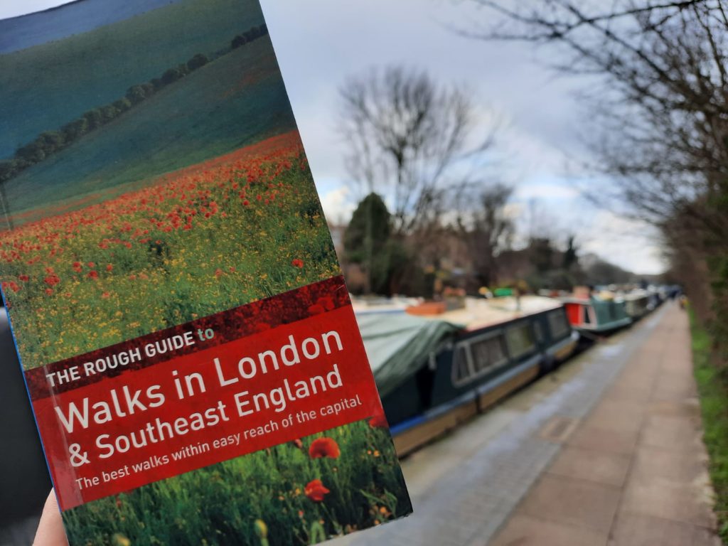
Today’s walk is from The Rough Guide to Walks in London & Southeast England, by Helena Smith and Judith Bamber. The book definitely focuses more on Southeast England than London, so is best for when we can do daytrips again!
Through Urban East London to a Green Space
A lot of the land around East London has long been densely urban. As well as all the industrial docklands, the residential areas were often tightly packed. In fact you often read about slum conditions in these neighbourhoods, with all the connotations of urban poverty and overpopulation. The bomb damage of WWII changed the landscape of much of the area around the Docklands. And in the post-war period, the industrial usage of this part of the city declined. One of the impacts of this today is on the waterways in and around East London. Previously busy working spaces, many are now attractive places for leisure activities: walking, cycling, canal boating and even kayaking.
We start this walk by passing some busy urban areas around Bethnal Green and Cambridge Heath Stations. Once we turn onto the Regent’s Canal, we enjoy some relative peace and calm as we pass Victoria and Mile End Parks. My walking partner and I did this particular excursion on a Saturday morning – my only word of warning is that it can be difficult to socially distance. But if you choose an ‘off-peak’ time to visit, you can learn some interesting facts about the history of the canal and its environs.
And just a quick word on The Rough Guide to Walks in London and Southeast England. There are some great walks in this book, but the focus is the walk itself rather than the environs. If learning about local history is your aim, I would suggest either reading up beforehand, or making note during the walk of places you want to learn more about later on. The latter is what I did, and the results are below!
We Begin Our Walk – Bethnal Green to the Canal Proper
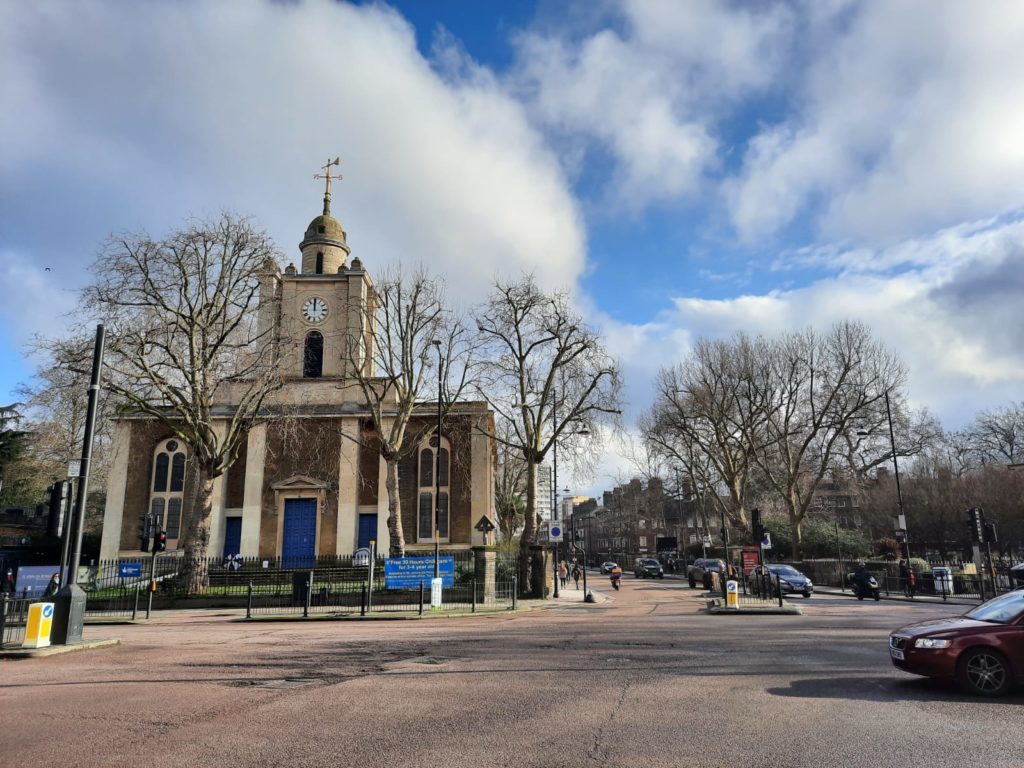
The first sight on our Walk today is the church of St John on Bethnal Green. Sir John Soane (of Sir John Soane’s Museum and Pitzhanger Manor fame) designed the church in 1826. There was a serious fire in the 1870s, and some bomb damage during WWII. Services actually took place in the crypt during this time, doubling as an air raid shelter. Just off to the right of this image is the memorial to the Bethnal Green Tube Disaster. Panic during an air raid caused a crush which killed 173 people in 1943: the UK’s worst civilian casualty of WWII.
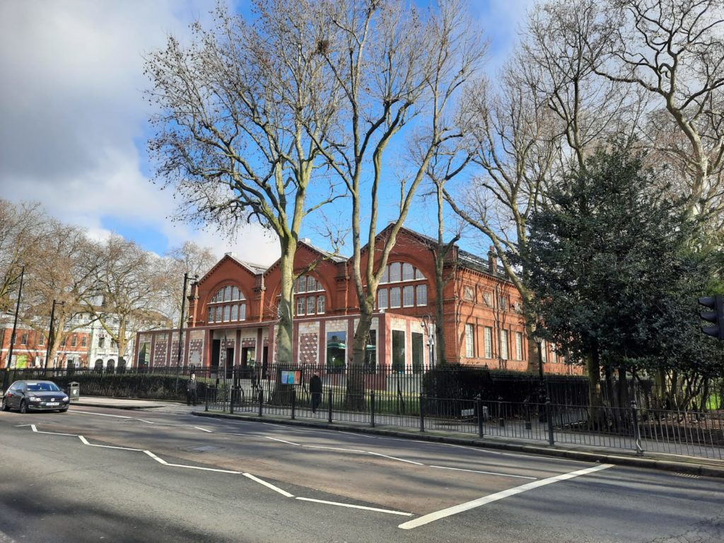
From Bethnal Green Station we head up Cambridge Heath Road, spotting the V&A Museum of Childhood on the way. The museum is closed for a 2 year refurbishment (great timing!). It opened in 1872 as the Bethnal Green Museum, and has some great Victorian architecture with an inner iron structure.
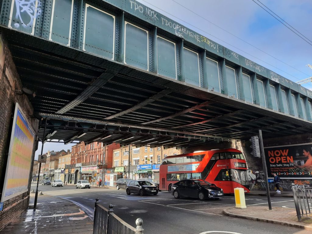
We’re almost at the canal now, just crossing the busy intersection at Cambridge Heath Station.Our first view of the Regent’s Canal at Cambridge Heath. The canal is a little hard to access here: there is a rather hidden entrance across a busy road. But it’s worth persevering! The Regent’s Canal is 8.6 miles long, with 12 locks, several of which we will see today. The Regent’s Canal Company built it between 1812 and 1820 to connect the Paddington arm of the Grand Junction Canal to Limehouse. By connecting the canal network to maritime trade at the Thames, the Regent’s Canal was a major route of goods in and out of the Midlands and the North. Commercial traffic actually continued as late as the 1960s. There are some very popular stretches (especially Little Venice in North London and the section of canal which passes through London Zoo). Today we will skirt a couple of major parks to end up at Limehouse Basin.
Regent’s Canal Walk – To Victoria Park
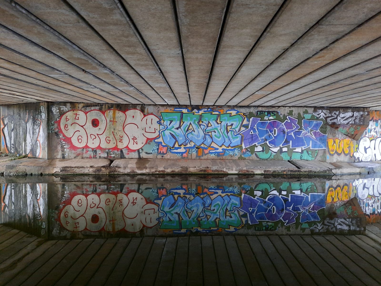
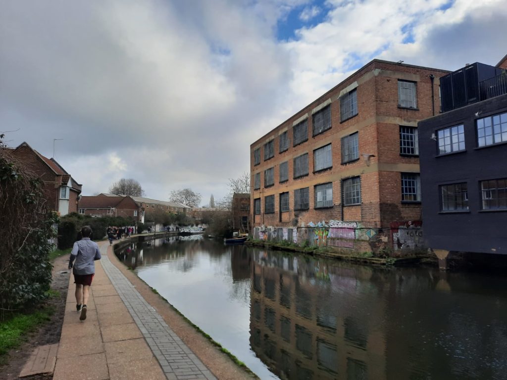
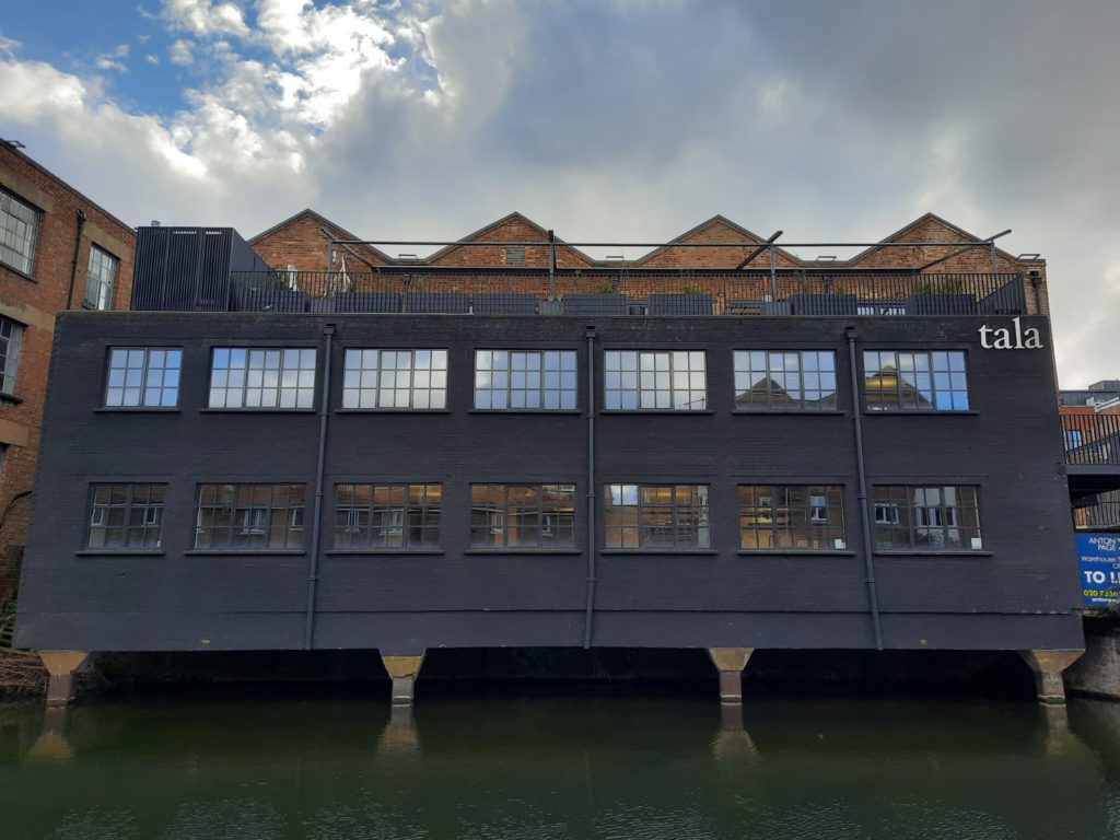
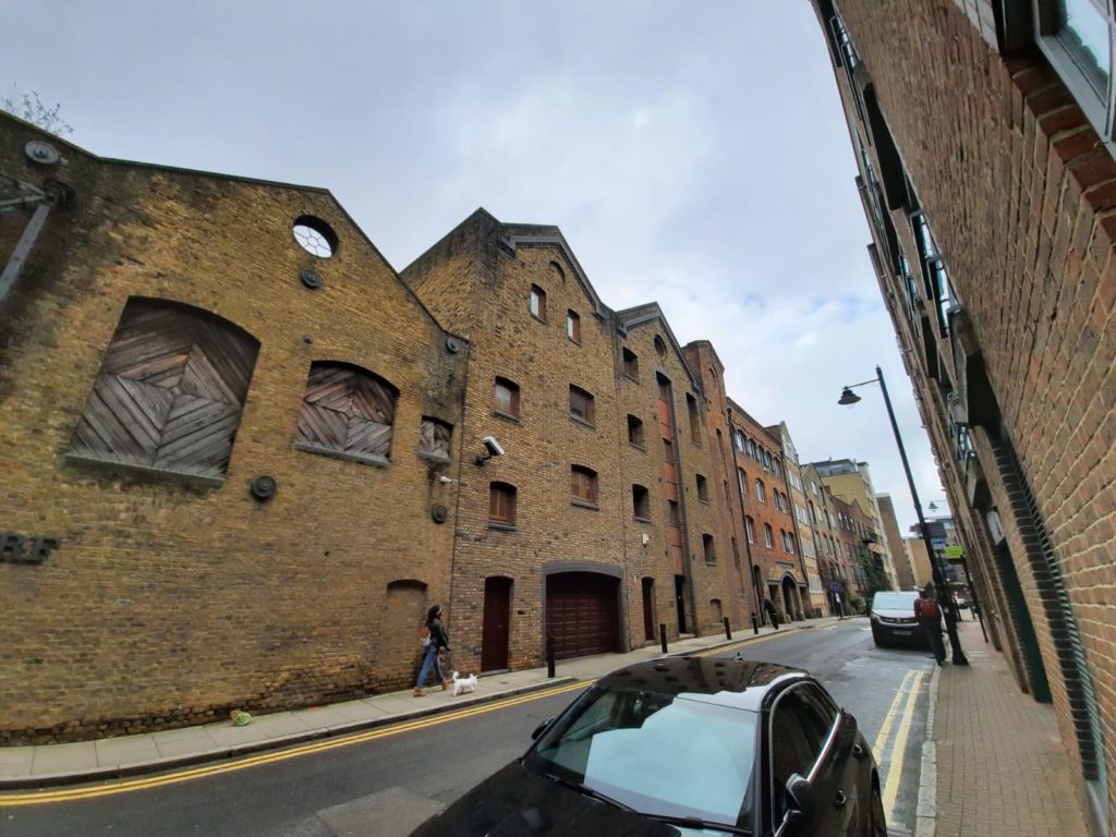
There are plenty of great converted industrial buildings along this stretch of canal. As you can see, there are also a few too many joggers and other pedestrians to allow for comfortable social distancing. This was a mistake on our part re. the timing of our walk: a dry Saturday morning after days of rain.
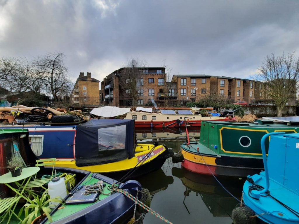
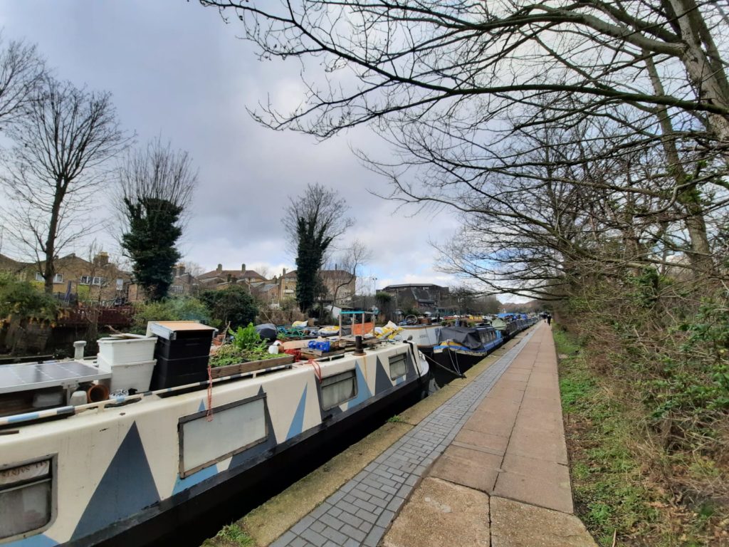
The unaffordability of housing in the UK has been one factor which has seen numbers of canal boats soar. From 2,326 boats on London’s canals in 2012, the total had risen to 4,274 in 2019. Ensuring there are enough moorings and facilities for all those boats is clearly a challenge. We saw some very popular spots along the route of our walk, including this area of double parking!
A Victorian bridge with more modern adornment.
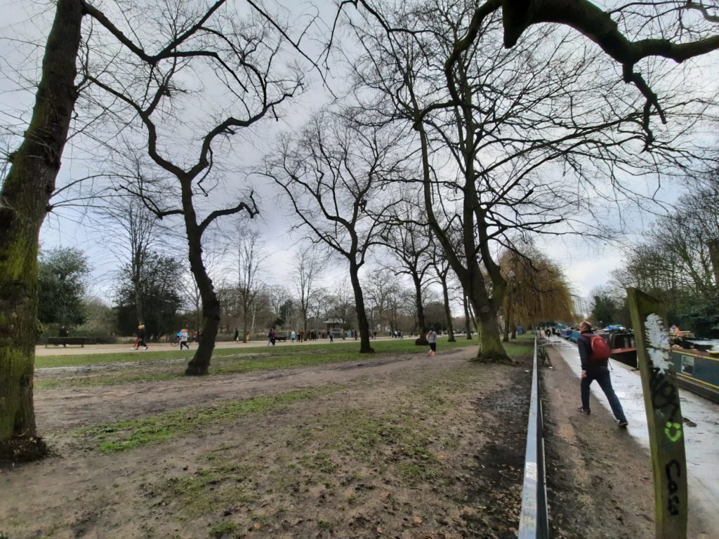
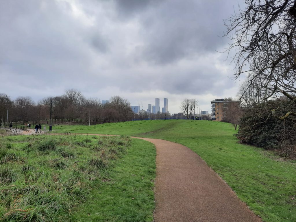
And a nice view into Victoria Park. This is the largest park in the London borough of Tower Hamlets. It opened in 1845, and was an important amenity for East End working class communities. It had a reputation for attracting political speakers like Speaker’s Corner at Hyde Park, and William Morris was among those who drew crowds. Victoria Park is also home to the oldest model boat club in the world.
Regent’s Canal Walk – Old Ford Lock to Mile End Park
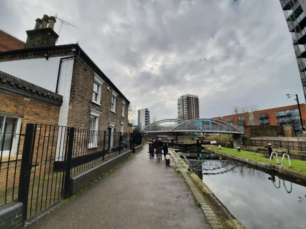
Old Ford Lock and lockkeeper’s cottage. As the name suggests, this was a place to ford the river long before the lock was built. The lockkeeper’s cottages also have stables, so the horses pulling Thames lighters (barges) could be changed over periodically.
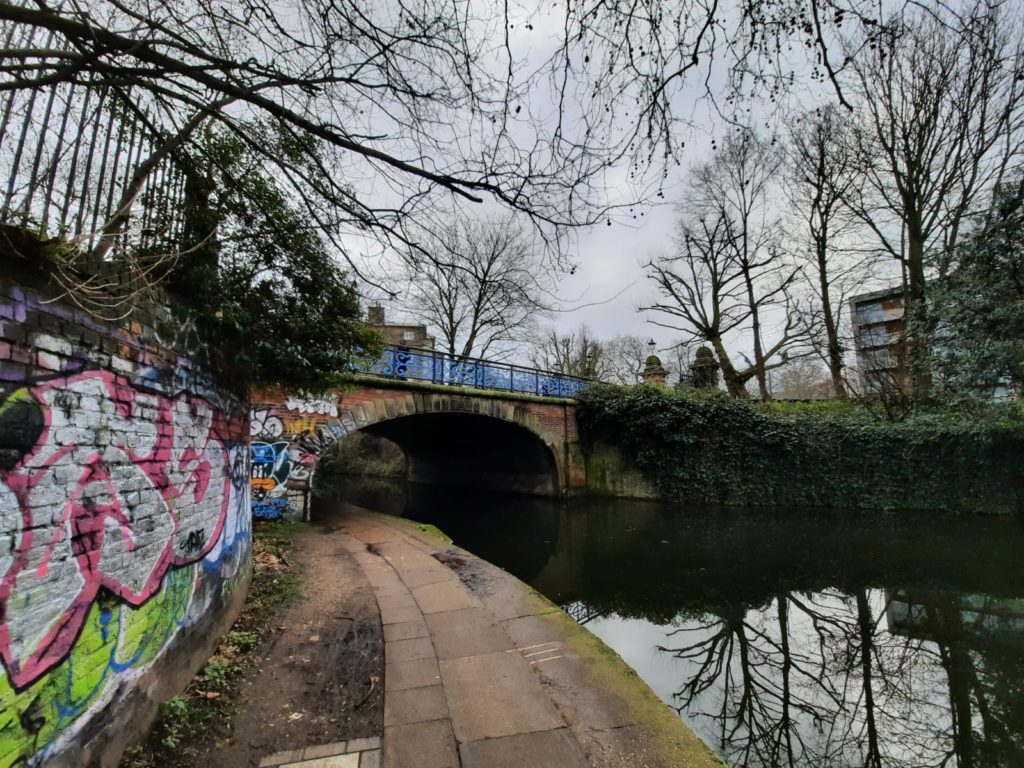
Just after Old Ford Lock, the path crosses over the Hertford Union Canal. This canal is only a couple of miles long, linking the Regent’s Canal to the River Lea Navigation. From what I can work out online, the current closure when we visited was due to a lock failure last December.
Roman Road is the next to cross the Regent’s Canal after the junction with the Hertford Union Canal. This is indeed a road dating back to Roman times – it once linked Venta Icenorum (near Norwich) to Londinium (London). In later history, the area was a centre of suffragette activity. Sylvia Pankhurst lived here, and the newspaper Women’s Dreadnought was published from Roman Road.
The urban landscape has some very picturesque moments.
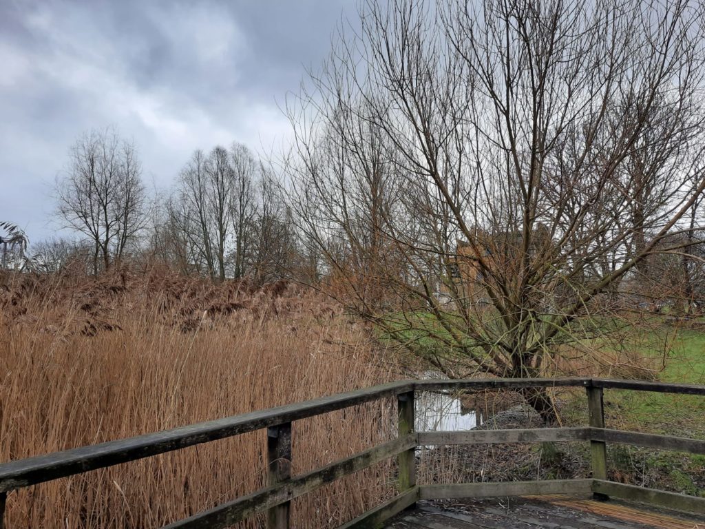
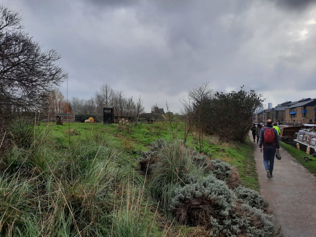
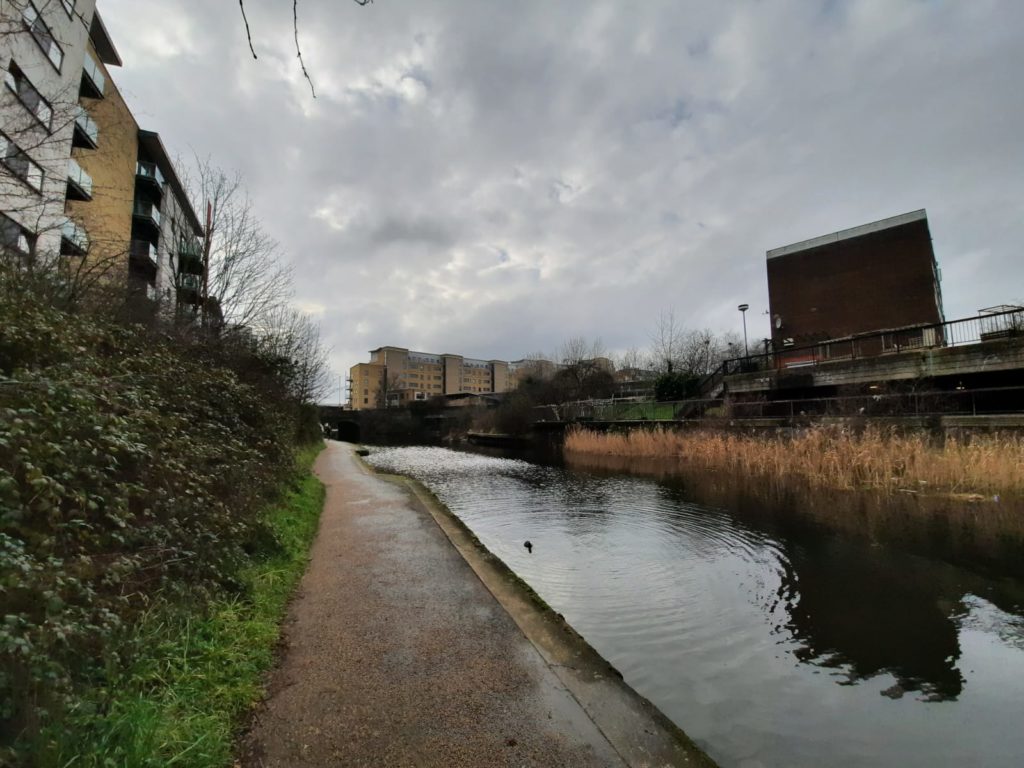
Mile End Park is a newer addition to London’s parks. It was created from industrial land that had been devastated by bombing in WWII, but construction didn’t really begin until the 1990s. We now follow Mile End Park most of the way to Limehouse Basin: a nice green accompaniment to our walk.
New Globe Tavern Gardens to Ragged School Museum
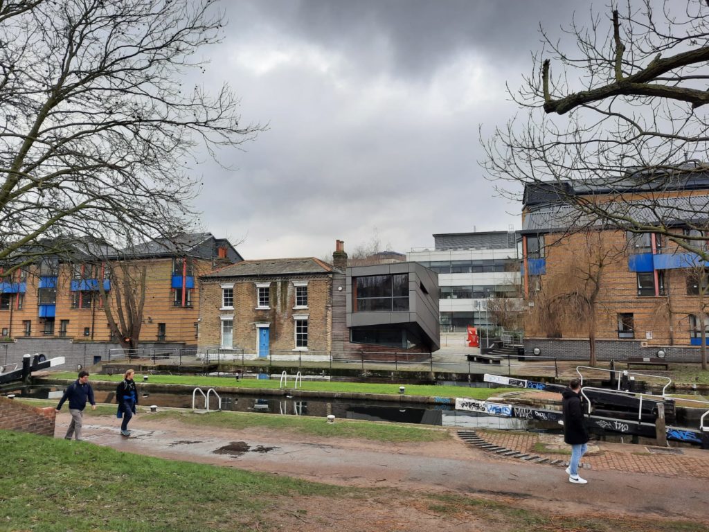
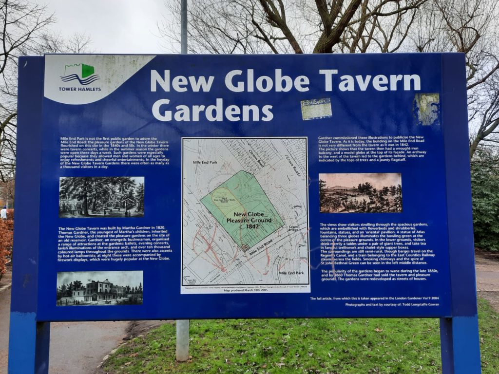
Just behind this bold juxtaposition of architectural styles once stood New Globe Tavern Gardens. In the 1840s and 1850s the New Globe Tavern ran a successful pleasure gardens here. There were concerts in the winter, and gardens and entertainments to enjoy in the summer. As many as 1,000 visitors passed through each day.
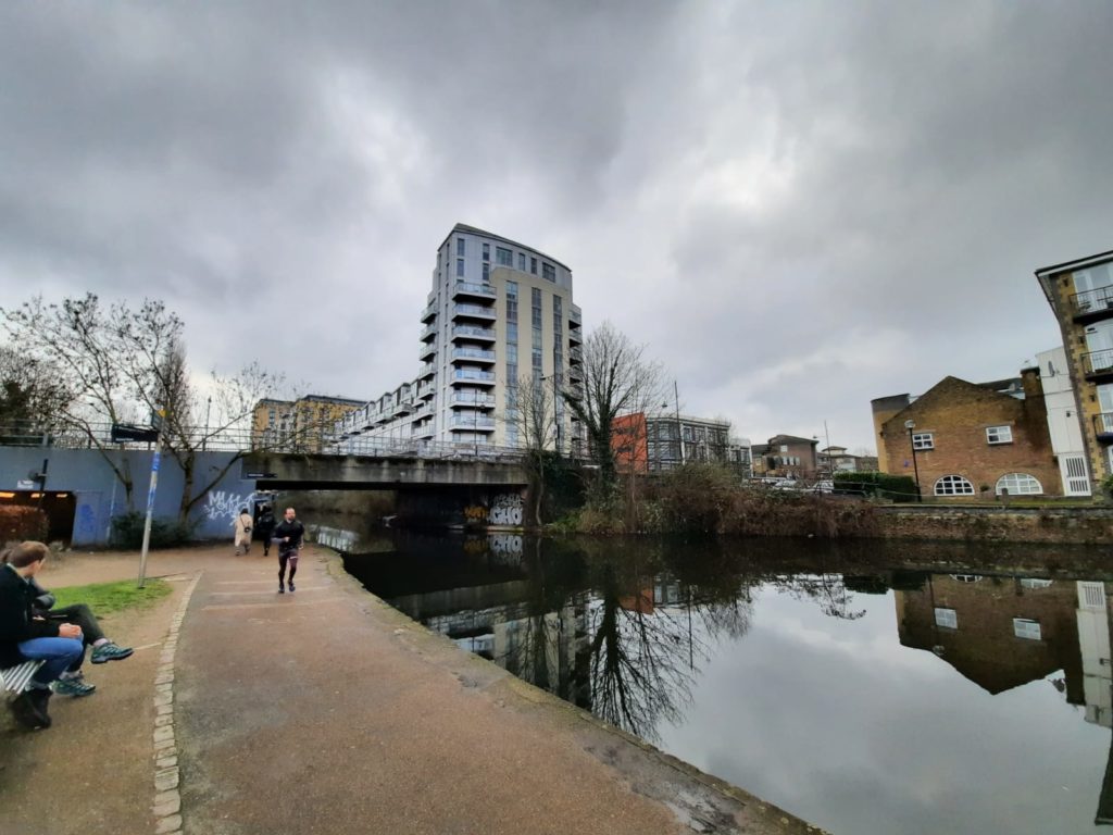
There are great views of Canary Wharf from this part of the canal, and more locks to admire.
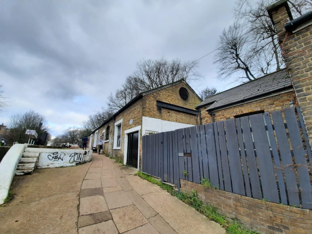
This is a canal-side view of the Ragged School Museum. This is the site of Thomas Barnardo’s second ‘ragged school’. Barnardo had arrived in London intending to train as a missionary and depart for China. But after seeing the conditions in London itself he turned his missionary work to the city instead. His ‘ragged schools’ were places where any child could gain a free basic education. Despite some controversies over the years (eg. the practice of sending children to Canada and other colonies), Barnardo’s homes took in tens of thousands of children. Barnardo’s still exists today as the UK’s largest children’s charity. The Ragged School Museum is currently closed and always has limited opening hours: plan ahead if you want to visit as part of your walk.
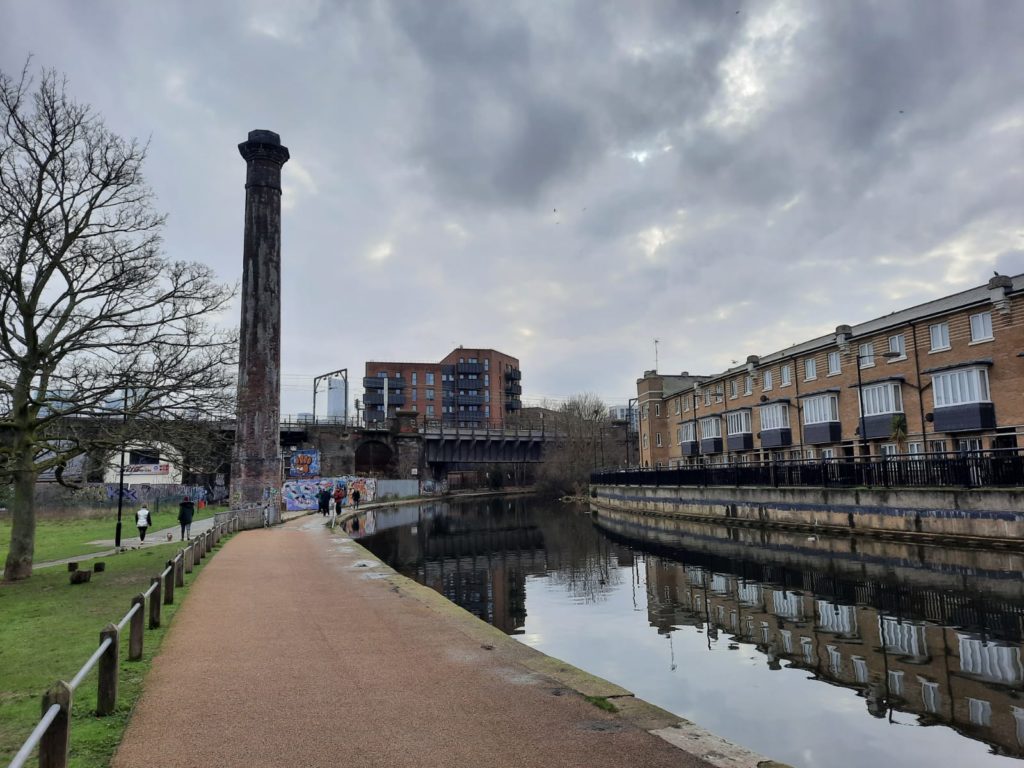
This structure just past the Ragged School Museum looks like a remnant of a factory, but is actually a sewer vent. Oh well, I would rather have it vented far above my head!
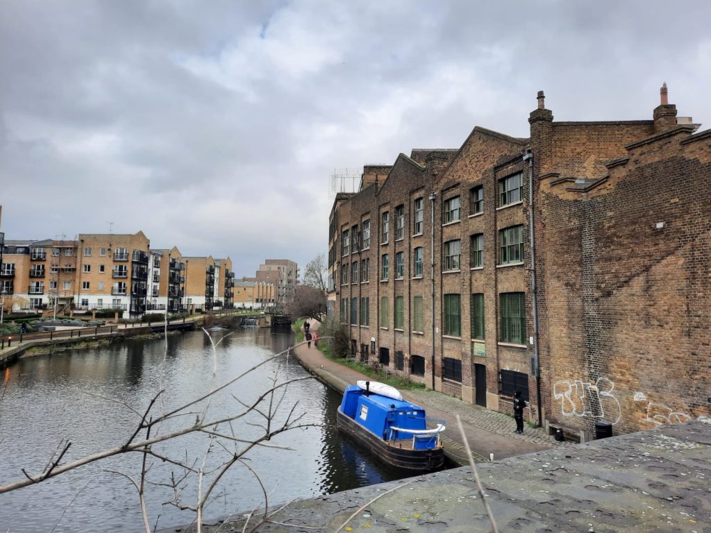
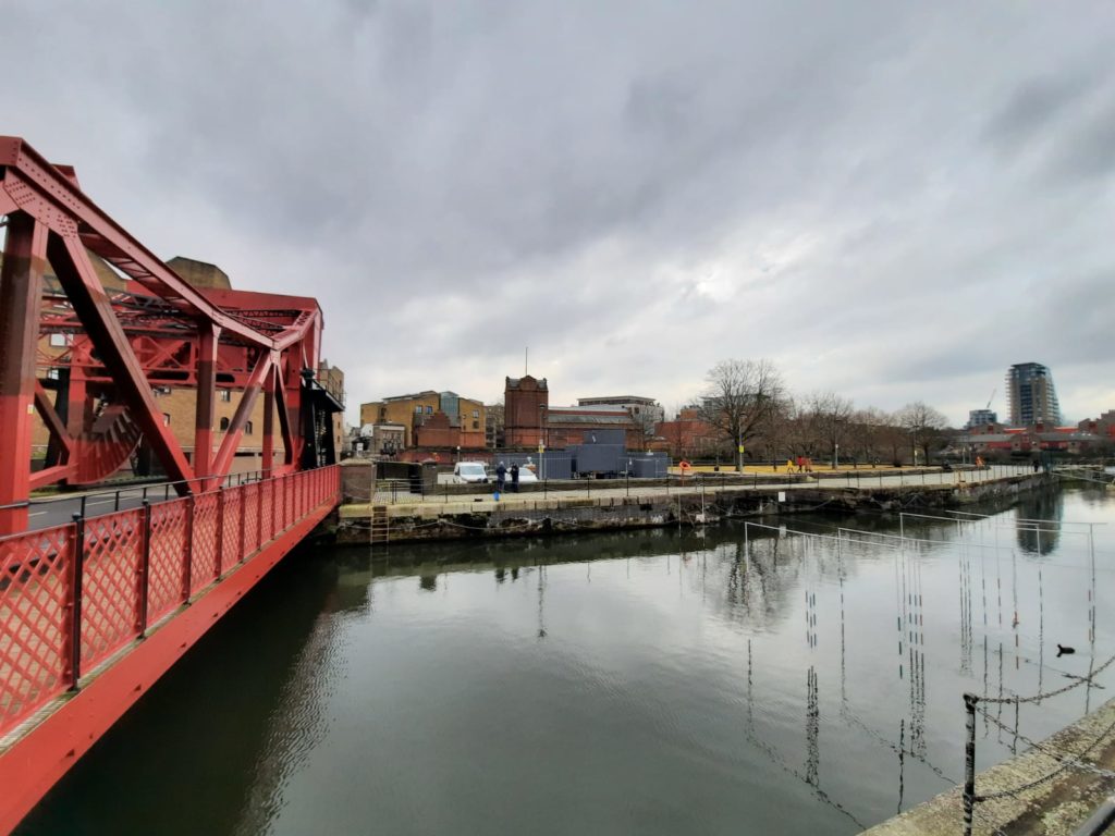
Regent’s Canal Walk – Salmon Lane Lock, Limehouse Basin, and on to Wapping
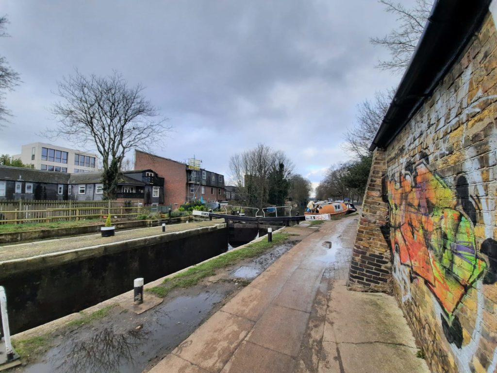
At the time my guidebook was published (2nd edition, 2009), the lockkeeper’s house at Salmon Lane Lock was described as ‘derelict’. It’s now been lovingly restored by the looks of it and is looking great!
We are now almost at the end of the canal, and bid it a fond farewell. The Lower Regent’s Coalition do a great job of beautifying this end of the canal and encouraging lots of wildlife.
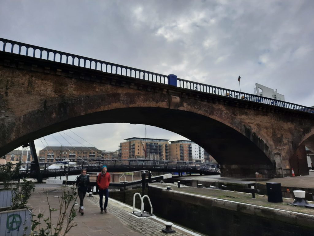
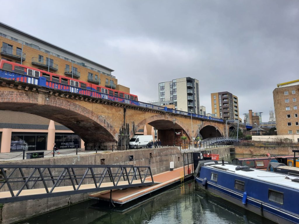
I’ve been over this railway viaduct many times on DLR trains. But I only found out from reading the guidebook that this is the second oldest in the world, dating to 1840.
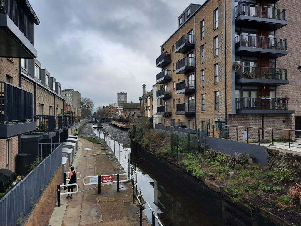
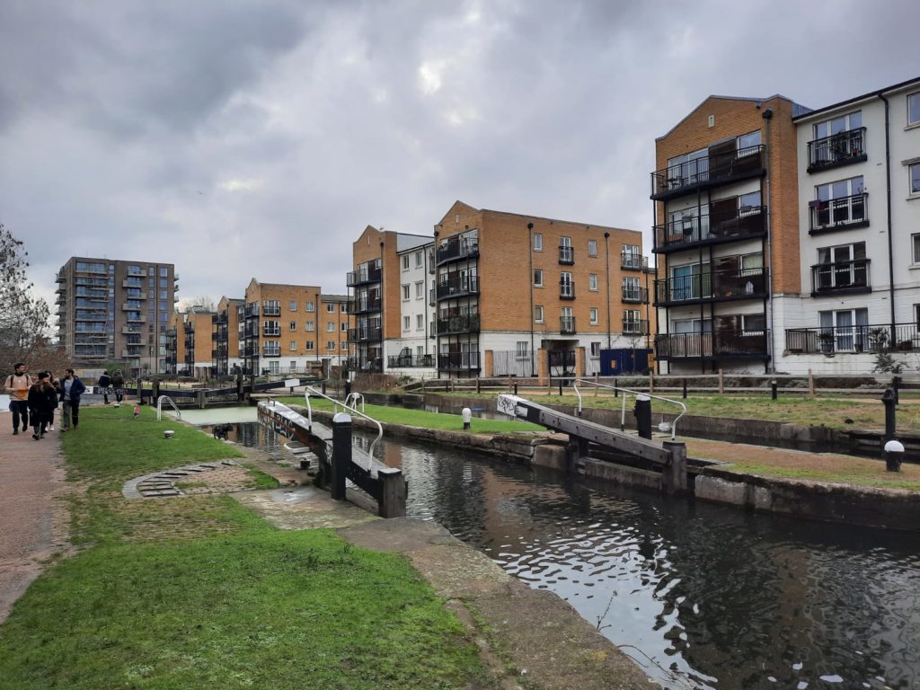
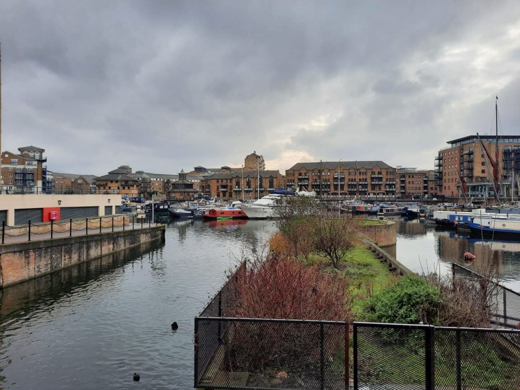
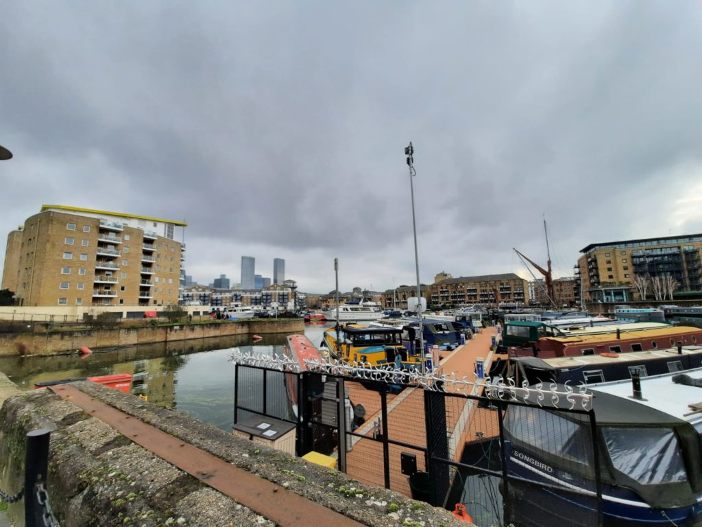
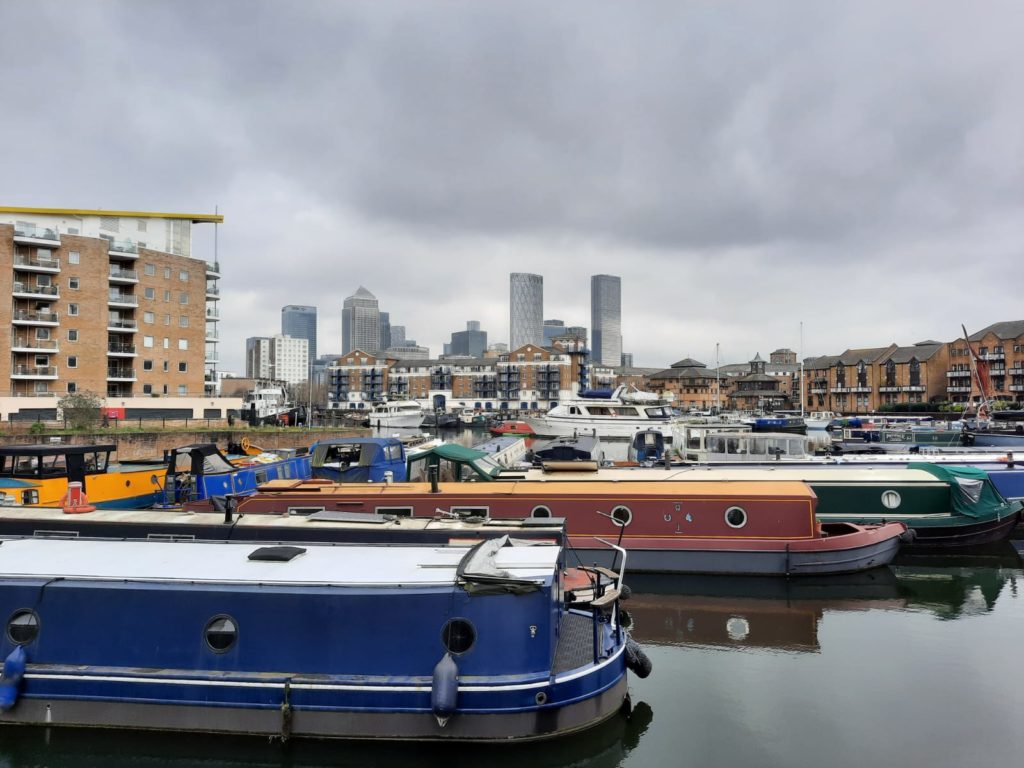
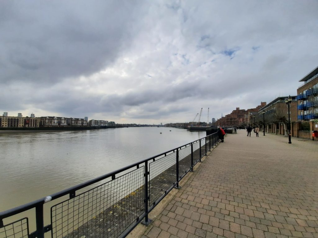
We are now at Limehouse Basin, which we have seen on a couple of our walks (like this one and this one). The Rough Guide attributes the bad reputation of the area’s immigrant communities to 19th Century fiction. Arthur Conan Doyle, Oscar Wilde and others set scenes of mystery and vice in Limehouse, particularly in connection with the Chinese community.
And to finish we walk along Narrow Street and the waterfront, ending at Shadwell Basin. The book recommends the Prospect of Whitby pub as a good place to stop. If only I could! We saw the Prospect of Whitby on this earlier walk. I hope you have enjoyed this canal-side walk, full of industrial and urban London history. And now we had better get home as those clouds are looking ominous…
Want more London inspiration like this? Sign up below for a weekly newsletter sent to your inbox:
Travelers' Map is loading... If you see this after your page is loaded completely, leafletJS files are missing.
3 thoughts on “A Walk Along the Regent’s Canal – Bethnal Green to Limehouse Basin”

3 thoughts on “A Walk Along the Regent’s Canal – Bethnal Green to Limehouse Basin”