Long-time London resident and avid museum and theatre-goer. I started this blog in 2014, and got serious about it in 2020 when I realised how much I missed arts and culture during lockdowns. I go to a lot more events than anyone would think is sensible, and love sharing my thoughts in the forms of reviews, the occasional thought piece, and travel recommendations when I leave my London HQ.
A historic walk close to home, as I explore what remains of the Georgian dock-building boom amidst the newer steel and glass of the Docklands regeneration.
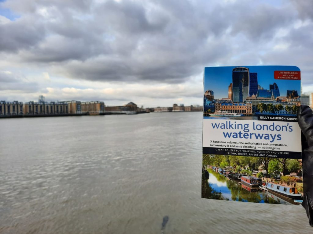
My trusty guide for this walk: Walking London’s Waterways by Gilly Cameron-Cooper. I followed the walk titled Georgian Dock Boom: Wapping – Westferry.
A Historic Walk Close to Home
Now that I have dusted off my pile of guides to London walks, I am enjoying heading out to see what I can find within walking distance of home! I have followed the path of the Neckinger River; explored the remnants of London’s Roman walls; and now I am staying very local with a walk which starts in my neighbourhood of Wapping.
Today’s walk follows Walking London’s Waterways by Gilly Cameron-Cooper, 2016 edition. I can highly recommend the book as a way to get out and see London’s canals, rivers and docks. And it’s not just me who has developed this new hobby: this is the first time I have seen someone out on a walk with exactly the same book in hand! The walks cover an area from Ealing in the West to Woolwich in the East and Morden in the South, so are within reach for a lot of Londoners without using public transport.
The walk I undertook was ‘Georgian Dock Boom: Wapping – Westferry’. I know most of the landmarks well by sight, but it was interesting to learn more about them. Today they blend into the Docklands area centred on Canary Wharf, but the fact that they are part of the borough of Tower Hamlets indicates their origin as little villages outside the Tower of London. The history on this walk doesn’t go quite as far back, but looks for traces of the massive building programmes of the 19th Century, when this area was the home of great wealth in the form of luxury cargoes, but also of great poverty. While the face of the Docklands has changed greatly since the 1980s regeneration project, there is still a lot of history to see if you know where to look.
Historic Docklands Walk: Wapping to Shadwell
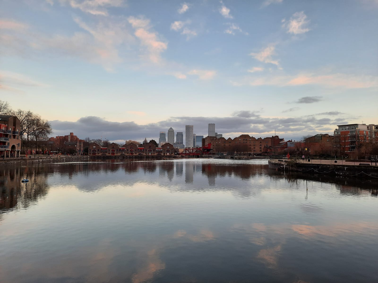
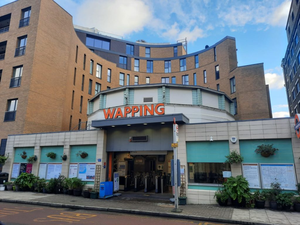
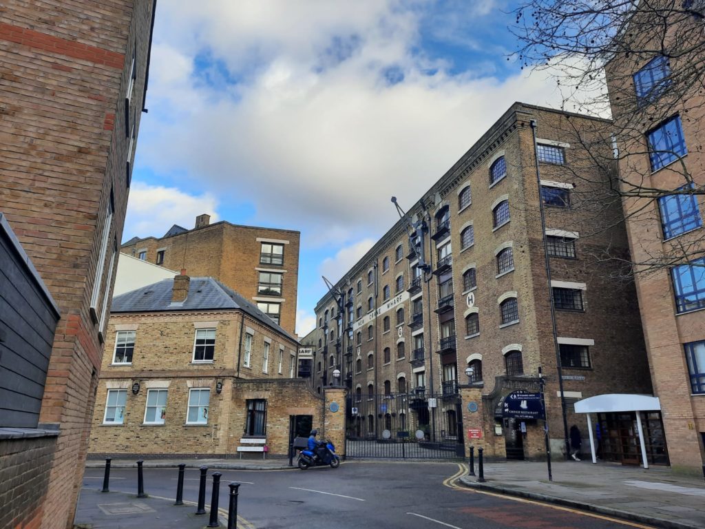
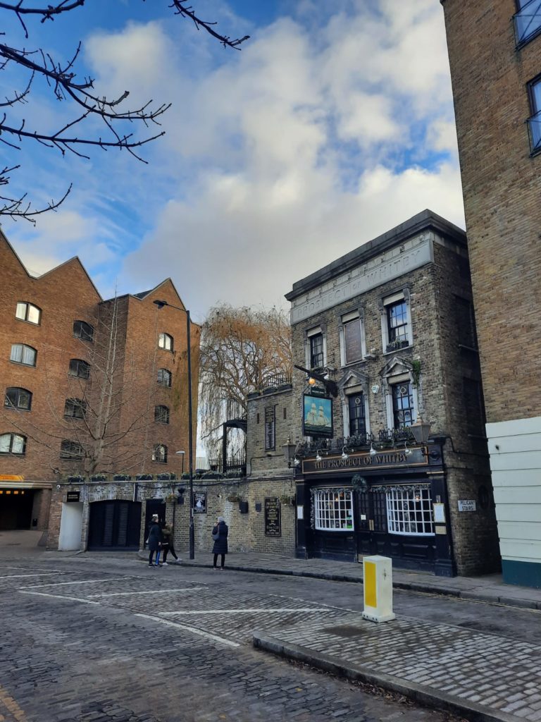
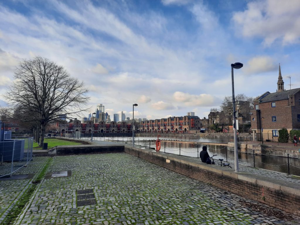
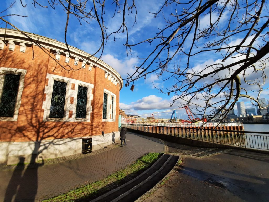
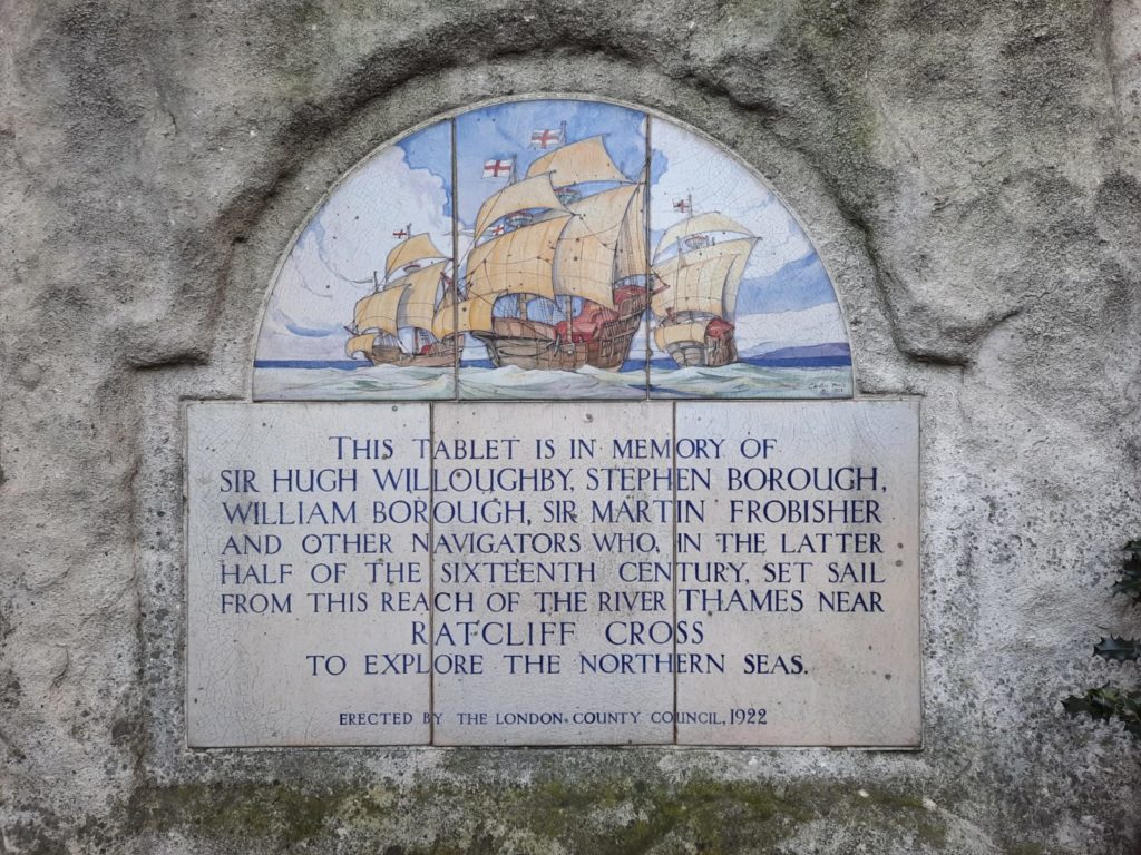
Our walk starts at Wapping Station. This is where Brunel’s 1843 Thames tunnel emerges, the first known tunnel under a navigable river. It is still in use for Overground trains today between Rotherhithe and Wapping. An entry shaft on the Rotherhithe side can be visited thanks to the Brunel Museum.Many former warehouses in the Wapping area have been converted for residential use. This is New Crane Wharf at the end of Wapping High Street – I find that this building more than others gives a sense of what these streets used to look like.The Prospect of Whitby pub is one of those which claims to be the oldest riverside tavern, dating to 1520. It has a 400-year old stone floor, and many historical tales to tell. It’s one that I really hope will survive the tribulations of Covid. Samuel Pepys, who drank at every pub in London, of course drank here, as did Charles Dickens.Shadwell Basin, once one of the entrances into London Docks, clearly shows the imprint of the Docklands regeneration. The ‘Yuppie’ housing lining the basin dates from 1987, and was Grade II listed in 2018. The shape of the buildings is a post-modern echo of the former warehouses. Shadwell Basin is also one of the largest bodies of water remaining from London Docks.This lovely structure is merely a ventilation shaft for the Rotherhithe Road Tunnel, with part of the ‘super sewer’ works beyond. This spot is at the entrance to King Edward Memorial Park, formerly the site of the Shadwell Fish Market.The former village of Ratcliff, of which barely a trace now remains, was the setting-off point for many an excursion. Most were ill-fated: Sir Hugh Willoughby froze to death in 1553, for example, while looking for a north-east passage.
Historic Docklands Walk: Limehouse
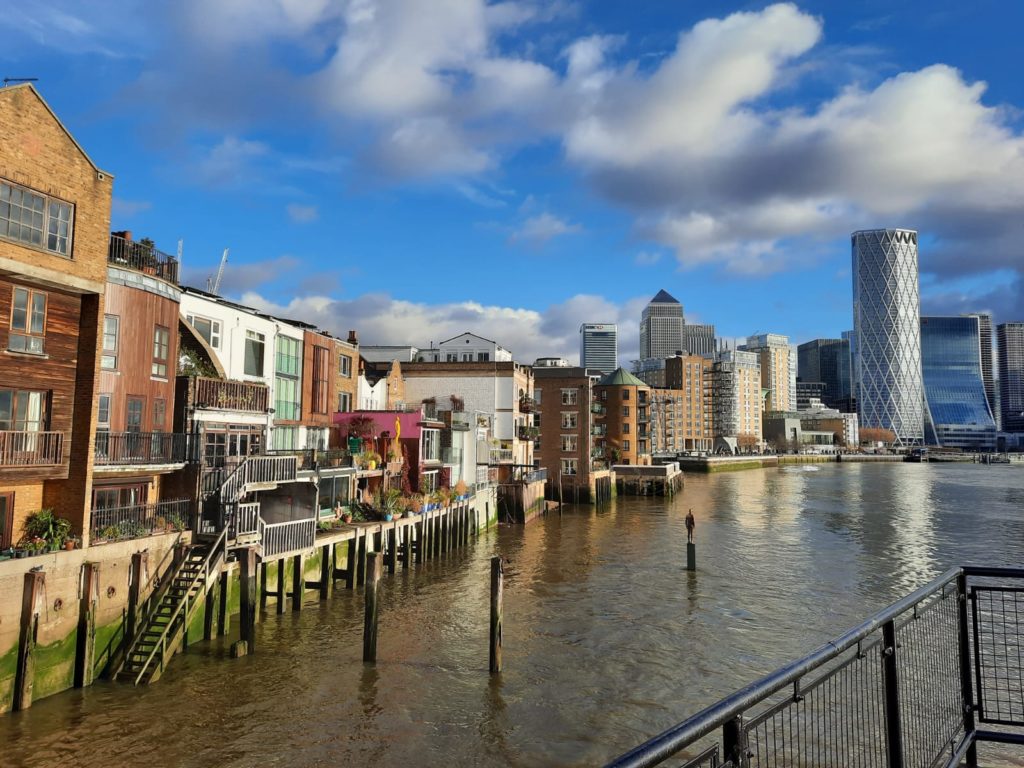
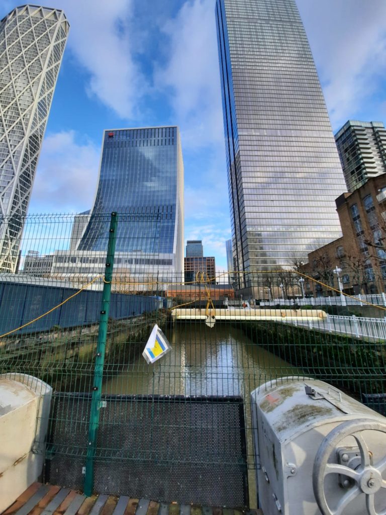
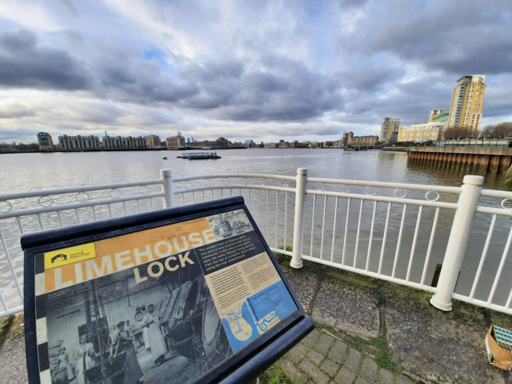
The Free Trade Wharf development is out of shot to my left – the East India Company built it initially. Dutch boats called here as late as the 1970s. The East India Company was founded in London in 1600, and held a monopoly on many valuable trade goods such as silk, spices and tea.A view along the river between Sun Wharf and The Narrow pub. You get a good sense from this spot of just how inconvenient it was to have to sail around the meander in the Thames at the Isle of Dogs.A hidden jetty gives a peaceful spot to admire old and new buildings in Limehouse. The steps leading down to the water are attached to The Grapes pub, now part-owned by Sir Ian McKellan. Cameron-Cooper’s book shares a story which the pub’s own website does not: that reputedly the publicans used to get customers drunk, row them out into the river and drown them, then recover the bodies to sell for anatomical experiments. Thankfully that is no longer the case! The famous names inspired by this neighbourhood of Georgian terraces include Charles Dickens; Turner; Oscar Wilde; and Whistler. More recently, an Anthony Gormley sculpture stands in the water.Further round towards Canary Wharf is the start of the City Canal. It was built between 1800 and 1805 to allow ships to cross the Isle of Dogs without having to go all the way around. It never really caught on though and was sold to the West India Company who subsumed it into South Dock.Limehouse was named for the lime which was worked in the area from the 14th Century. Lime is an essential ingredient in mortar. Back along the river a bit, Limehouse was also the site of London’s earliest Chinatown. Along the river around Canary Wharf are panels like this where you can learn about history and see old photos of the area.
Historic Docklands Walk: Millwall and Canary Wharf
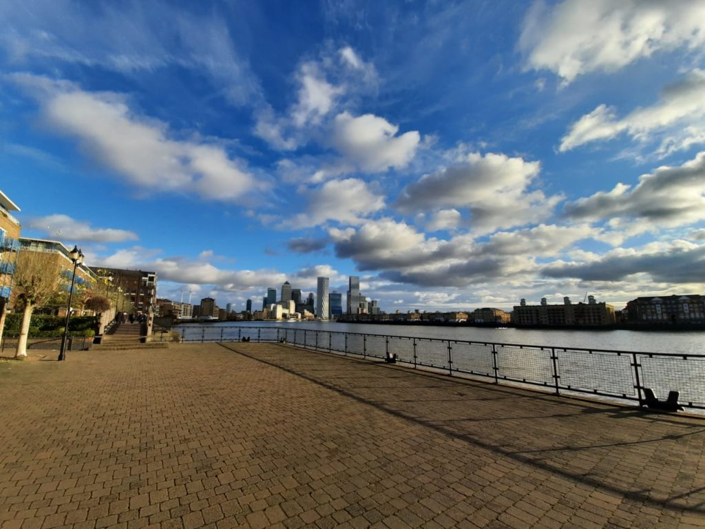
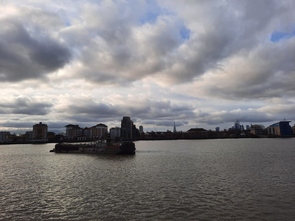
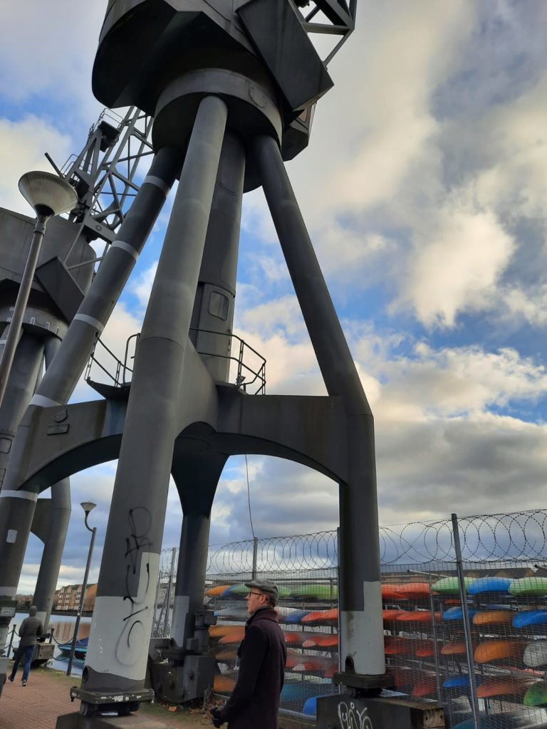
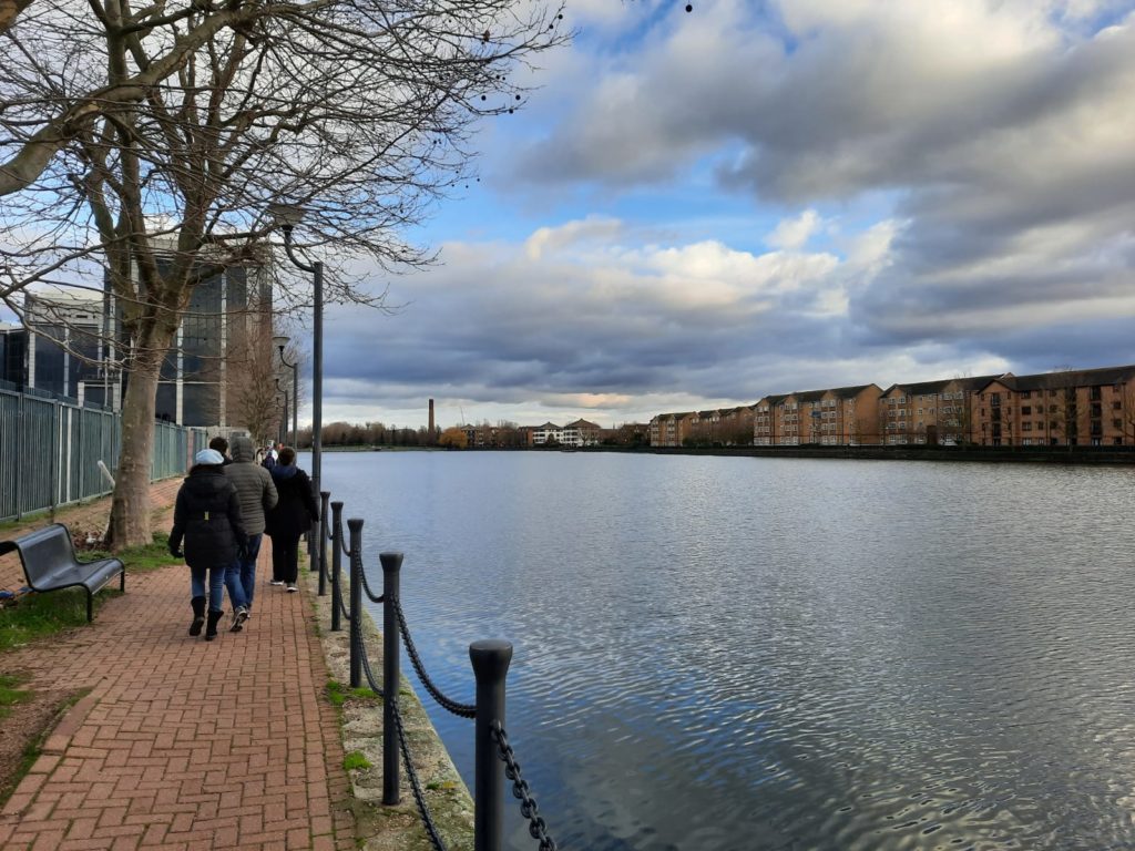
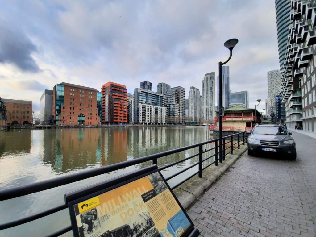
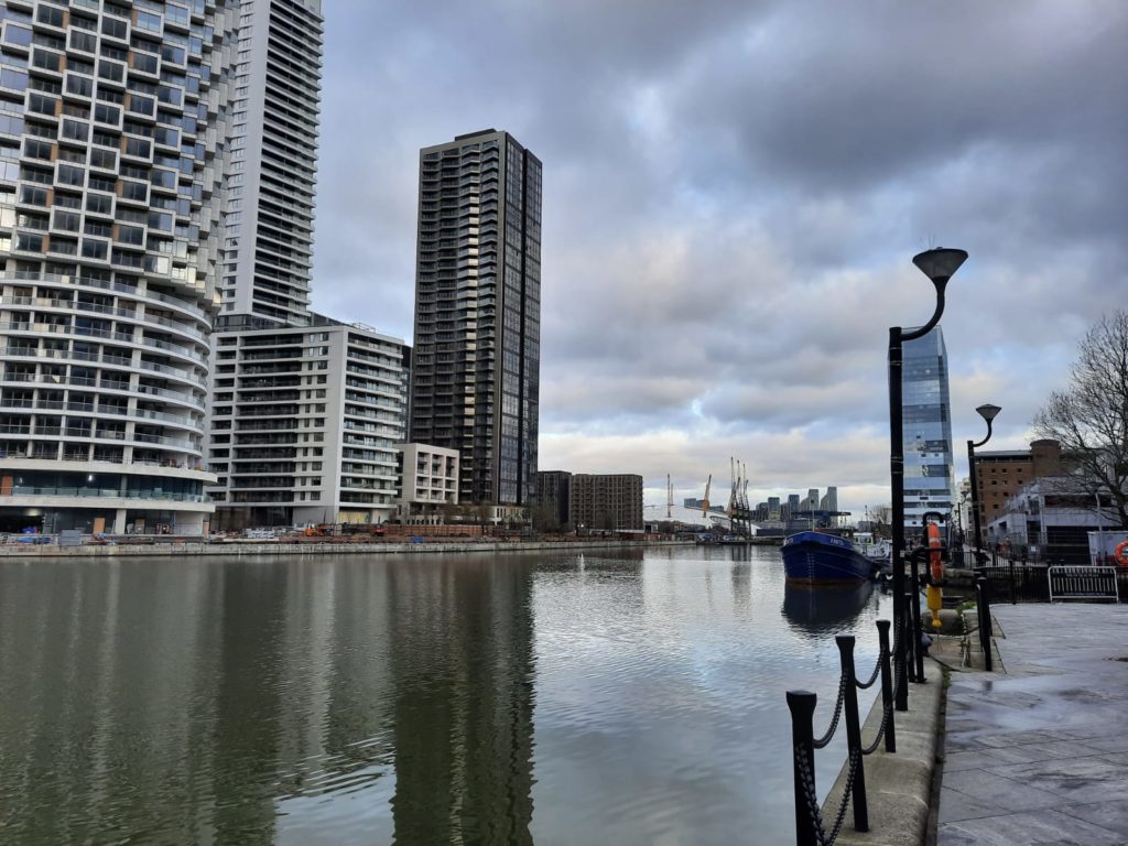
A view across to the city near Surrey Docks, taken from Millwall. Millwall takes its name from the series of windmills which used to top the embankment between Blackwall and Limehouse. The grain business flourished here even after steam power made the wind-powered mills redundant. Millwall Football Club started here amongst factory workers, before moving south of the river in the 20th Century.Some remaining gantries tower over the kayaks of the Isle of Dogs Sailing Club, at the edge of Millwall Outer Dock. A view of Millwall Outer Dock. The McDougall family’s self-raising flour business dominated this dock from the 19th Century until the factory closed in 1982. According to Cameron-Cooper, by the late 1970s 10,000+ jobs had been lost in the Docklands, 60% of the water and land lay empty, and 9,000 local residents had left the area. This was due in large part to changes in shipping, as bigger cargo ships could not reach central London so unloaded their goods further down the Thames estuary.Millwall Inner Dock complete with floating Chinese restaurant. I learned from the information panel that across the water you would once have seen Central Granary. It had long pneumatic tubes known as ‘elephant’s trunks’ to suck grain straight from the ships’ holds into the siloes.A view from South Dock across to Greenwich. At the other end of South Dock is where the City Canal seen earlier came out. Some of the canal’s original pumping equipment is apparently still used to keep the water levels around Canary Wharf even.
Historic Docklands Walk: West India Docks to Westferry
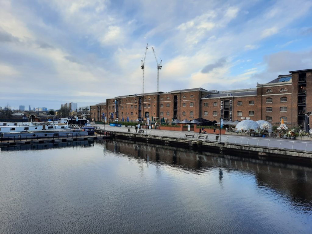
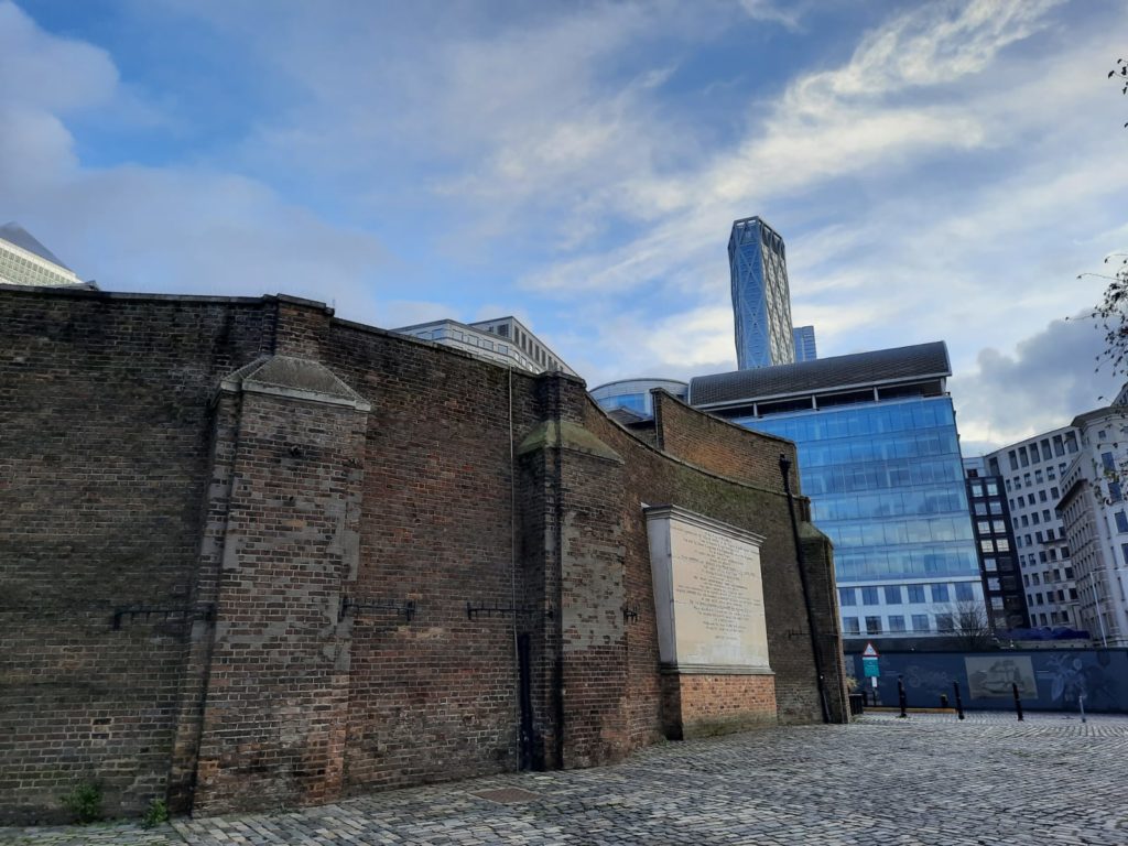
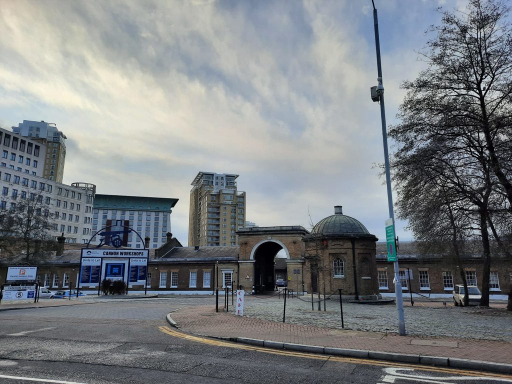
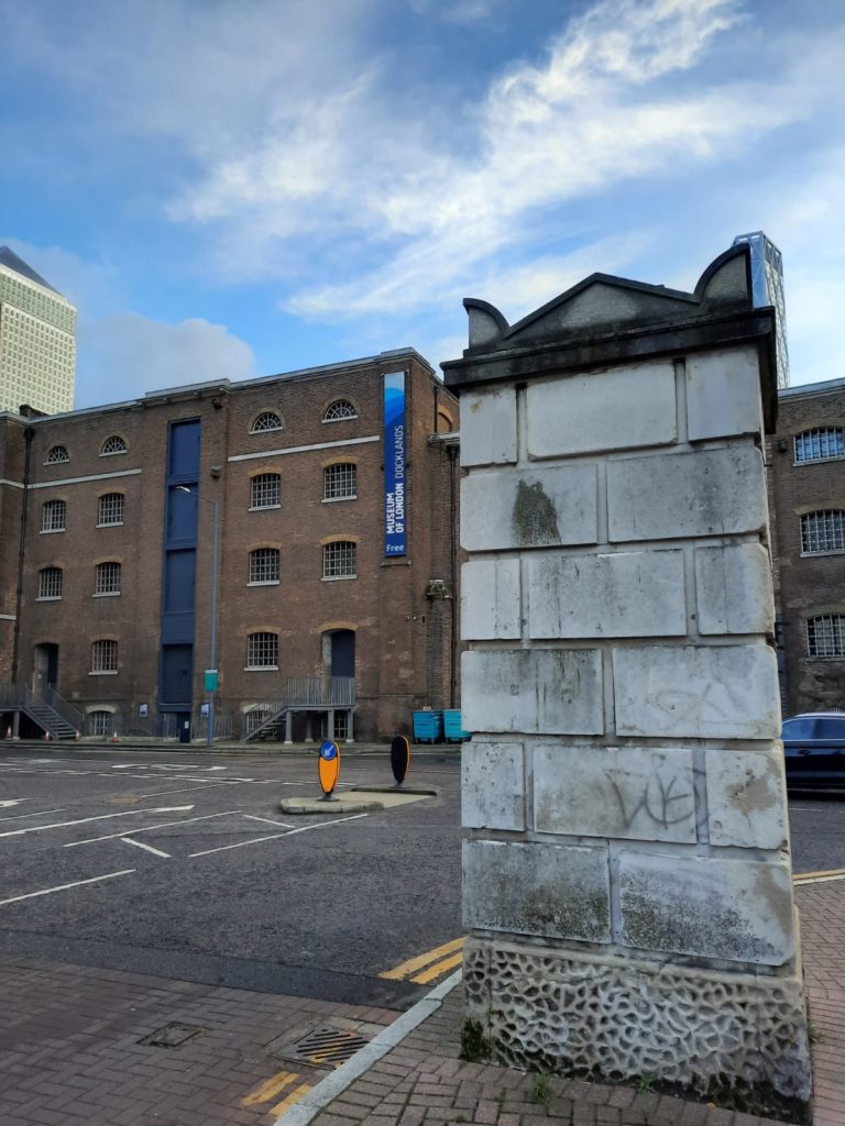
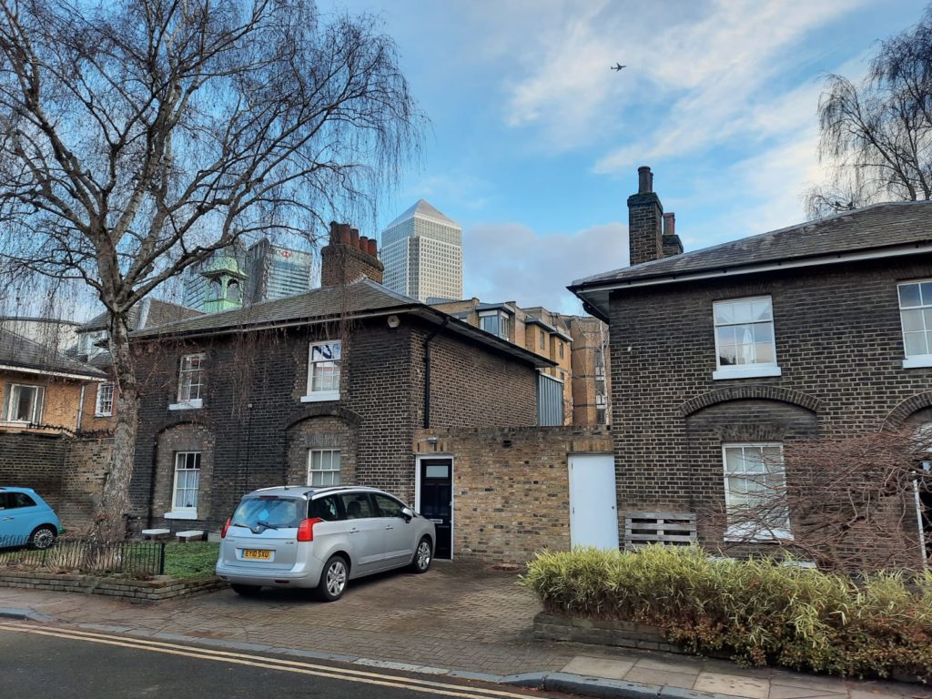
A pressure group including merchants, bankers and MPs got permission from the government to build West India Docks in the late 18th Century. Prior to this, ships could spend weeks waiting to have their cargoes weighed and taxed, with their goods at risk of pilfering or worse. High walls and its own police division gave West India Docks ‘fortress-like security’ for the goods within.Nearby Cannon Workshops takes its name from a cannon which once stood here. The area housed engineering workshops and stores. The little round building dates from 1803; the dock police and military guard used it for storing arms. Incidentally, Cannon Workshops is now home to my favourite framer’s.The Museum of London Docklands (background) occupies one of the last remaining warehouses of West India Docks. Luftwaffe attacks destroyed most of them, but didn’t stop the docks continuing to operate throughout WWII. In the foreground is one of the piers marking the former entrance to the docks. Here hundreds of men stood each morning to try to get a day’s employment. Surprisingly, this practice continued, although increasingly precarious as demand reduced, until 1960.We now say goodbye to the Docklands and head to Westferry. The gleaming skyscrapers of Canary Wharf peep over a row of Georgian cottages built to house the West India Dock Company police. History is around every corner in this part of the city.
Want more from the Salterton Arts Review? Sign up for a weekly newsletter sent straight to your inbox:
Travelers' Map is loading... If you see this after your page is loaded completely, leafletJS files are missing.
9 thoughts on “Historic Docklands Walk”