Long-time London resident and avid museum and theatre-goer. I started this blog in 2014, and got serious about it in 2020 when I realised how much I missed arts and culture during lockdowns. I go to a lot more events than anyone would think is sensible, and love sharing my thoughts in the forms of reviews, the occasional thought piece, and travel recommendations when I leave my London HQ.
Exploring Hong Kong’s Heritage VI: Sha Tin and Ten Thousand Buddhas Monastery
12 mins
On my final day in Hong Kong I learn more about the territory’s 20th century development by walking around Sha Tin.
A Walk in Sha Tin
So far on this trip to Hong Kong, we have stretched our legs in Wan Chai, and taken an excursion to Lamma Island and Aberdeen. On the former, we learned about Wan Chai’s nightlife, and how extensive reclamation projects have changed the local landscape. On the latter, we focused on fisherfolk – once a key part of life in Hong Kong but with their traditional ways of life now much eroded by changes in the fishing industry and 20th century resettlement programmes.
The latter is perhaps the segue into today’s post. Hong Kong changed immensely over the course of the 20th century. This fact isn’t unique to Hong Kong, but different locations experienced different versions of modernisation. With a few hours to spare between a museum visit and needing to head to the airport, I got it into my head that it would be interesting to see what that looked like in Sha Tin.
Let’s start with briefly orienting ourselves. Sha Tin is a neighbourhood in Hong Kong, along the Shing Mun River.* There is also a Sha Tin administrative district. Today we are going to walk between Tai Wai and Sha Tin stations, via the Hong Kong Heritage Museum and Ten Thousand Buddhas Monastery. Tai Wai (‘big village’) was once the location for one of the oldest and largest walled villages in Hong Kong, built in 1574. The area now called Sha Tin was originally known as Lek Yuen (‘source of clear water’ or ‘source of trickling’). In what is becoming a theme on this trip, early colonial geographers or surveyors were a bit sloppy, and the name of Sha Tin Wai (‘sand fields village’) became the name for the whole area.
Those sandy fields had their uses aside from farming. In 1911, for instance, Sha Tin saw Hong Kong’s first flight of a powered aircraft, by Belgian pilot Charles Van den Born. Sha Tin soon began to develop into the urban landscape we see today, however. A new market township was established on former farmland in 1956. It was rebuilt in the 1960s after a typhoon, and demolished in 1979 as part of government expansion plans. In the meantime, the New Towns Development Programme saw a new town founded here in 1973. Another town centre was developed in the 1980s to aid the development of the local economy and sense of community. Sha Tin had rail access as early as 1910 as part of the Kowloon-Canton Railway, while Tai Wai got an MTR station in the 1980s.
*I don’t think I’d really thought previously about Hong Kong being big enough to have rivers fully within its limits. This one goes from Sha Tin to a small harbour at Tai Shui Hang Village.
We Make a Start in Tai Wai
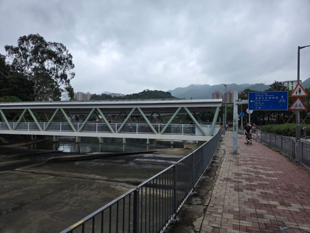
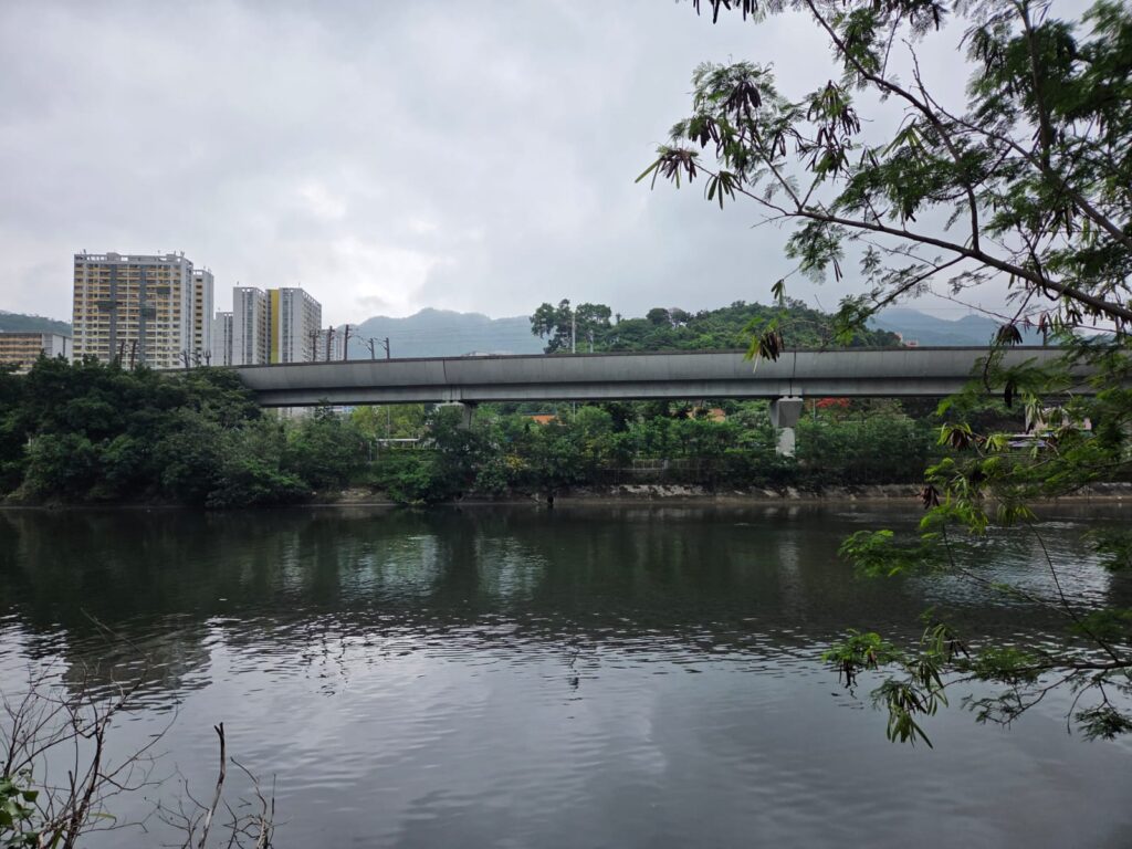
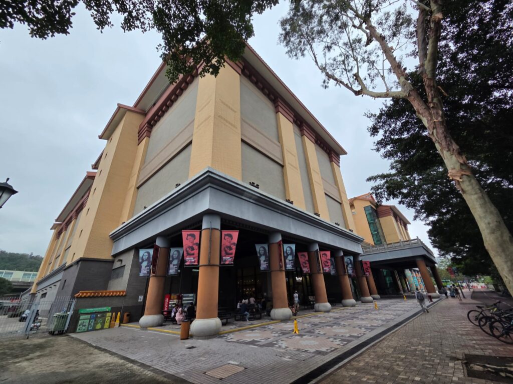
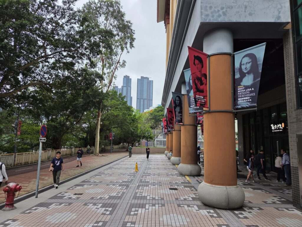
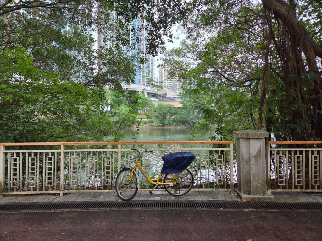
I don’t have a lot of photos of Tai Wai, primarily because at this point in the day I hadn’t quite decided what my plan was. Would I try to make it to another museum after the Hong Kong Heritage Museum, or take advantage of the fact it wasn’t raining (as it had been much of the week) and go for a walk? I could have tried to find the original Tai Wai Village – on Google Maps you can clearly see what looks like a walled village layout near the station (the Street View option shows it’s not quite the same as it was in the Ming Dynasty, though). But first things first, let’s get to the museum.It’s a short but nice walk, along part of the riverside pedestrian/cycle path. Originally, the Shing Mun River flowed into Sha Tin Hoi, or Tide Cove. That land became Sha Tin New Town in the 1970s through reclamation works. These days the river helps with storm water drainage, but is also popular with rowers and anglers.And look, we’re here already. I told you I didn’t have many pictures from this end of the walk. Hong Kong Heritage Museum opened in 2000. It has six permanent exhibitions, with temporary exhibitions alongside them. The permanent exhibitions cover topics including Bruce Lee, Cantonese opera (the museum has over 30,000 objects related to opera), and local authors and artists. It’s free to visit – including the temporary exhibition when I visited – so is a great local resource. I will have a separate post about the museum up soon.Right, I have finished my museum visit now and decided a walk is on the cards. I decided to stay in the Sha Tin area because I’d spotted on Google Maps that I was within walking distance of the Ten Thousand Buddhas Monastery. This is a place I’d visited several years before, and fancied seeing again.A last little look at the Shing Mun River.
Exploring Sha Tin’s Village-y Feel
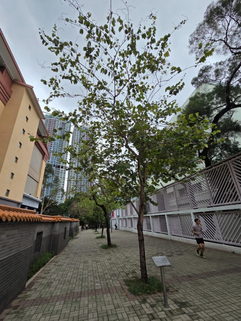
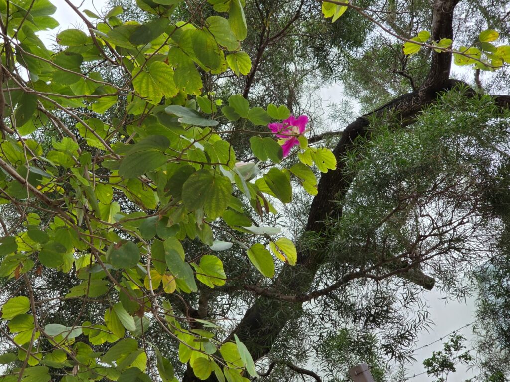
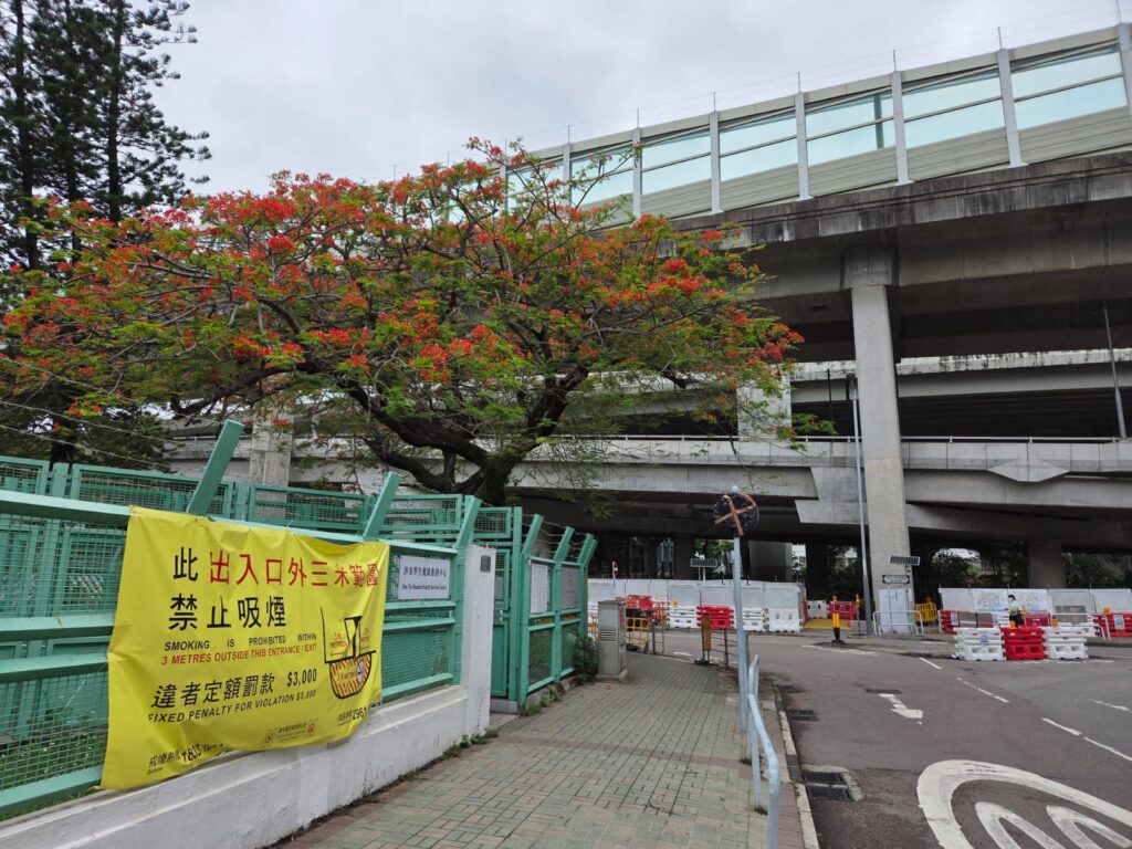
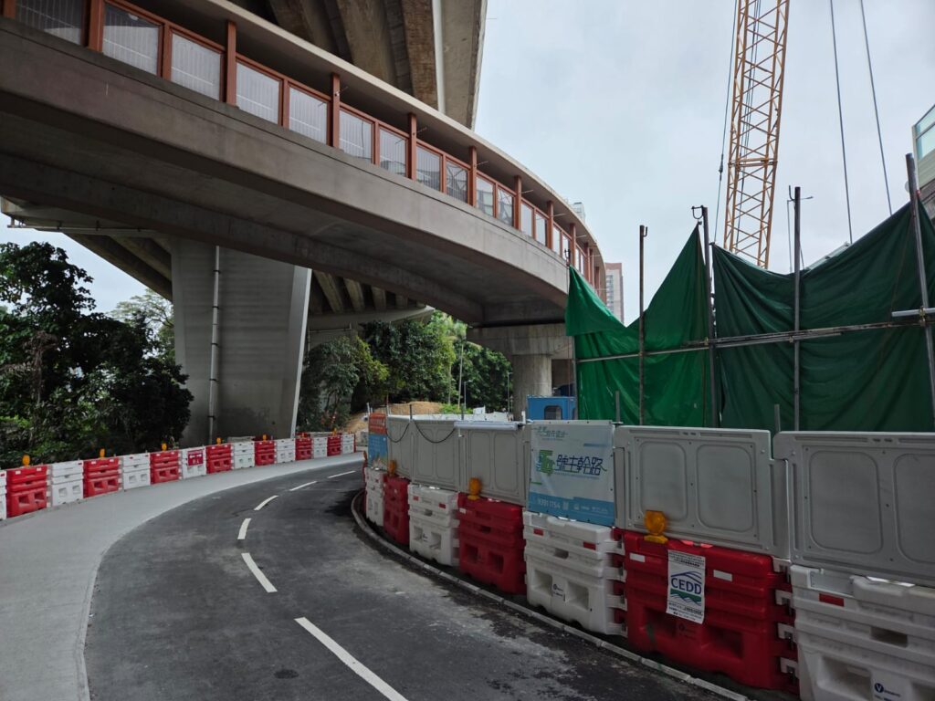
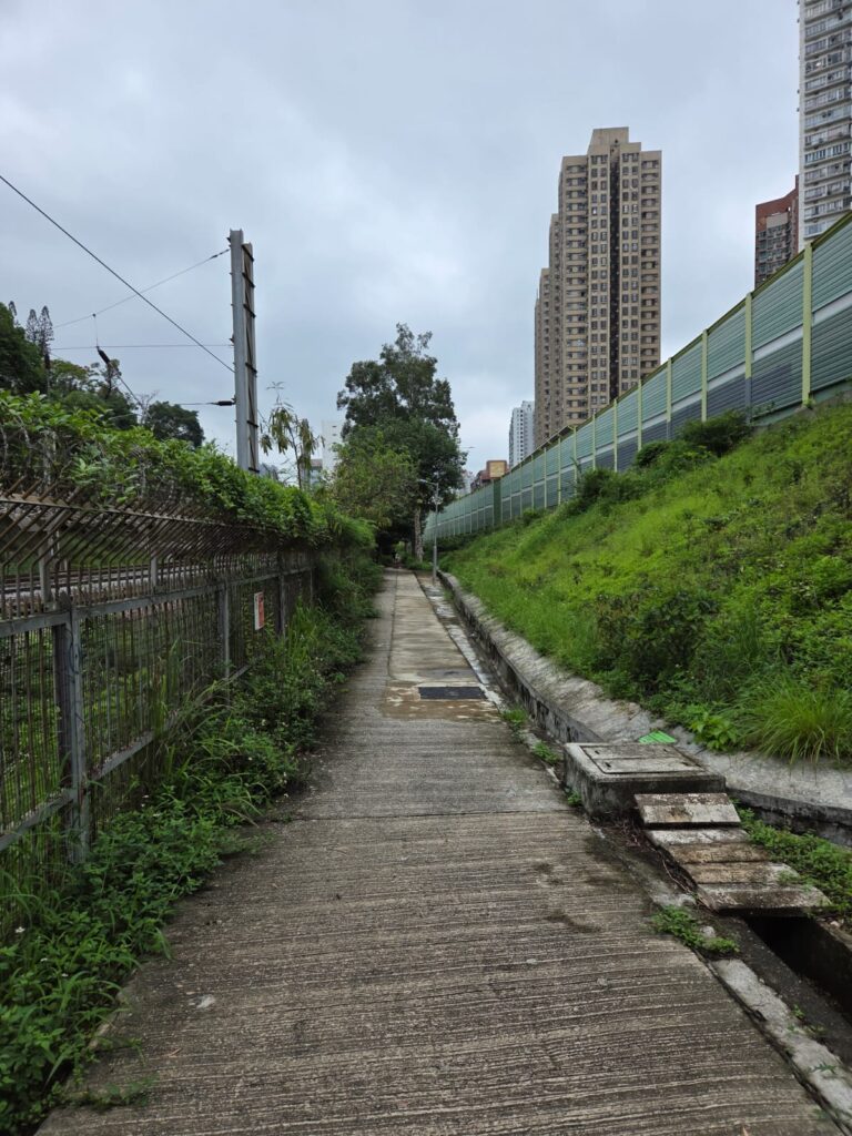
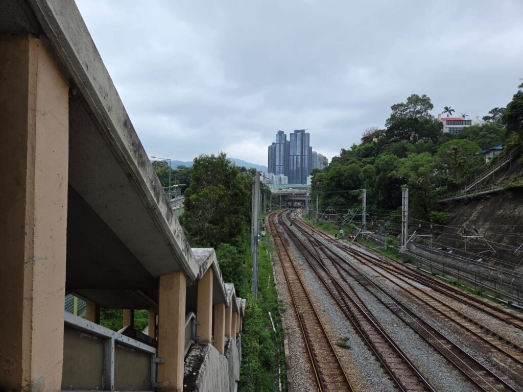
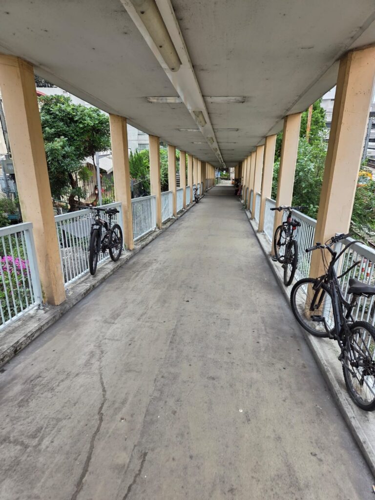
OK, we’ve got a route plotted, and this path should be the starting point.The tree to the left of this image is a Bauhinia blakeana. I was talking about this on my Wan Chai walk – it is the floral emblem of Hong Kong and features on the territory’s flag amongst other usages.Alright, more construction works to contend with. This has been a feature of my week trying to navigate Hong Kong!It seems we’re still on track, as we literally follow the tracks for a little while. I believe this would be the line that was once the Kowloon-Canton Railway. There is still a company of this name, but the original railway operated from 1910 to 2007. The clocktower next to the Star Ferry terminal at Tsim Sha Tsui is the only remaining part of its Kowloon station.Right, now we cross the tracks at Wai Wah Centre Bridge.
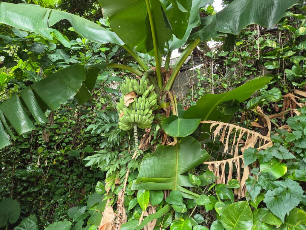
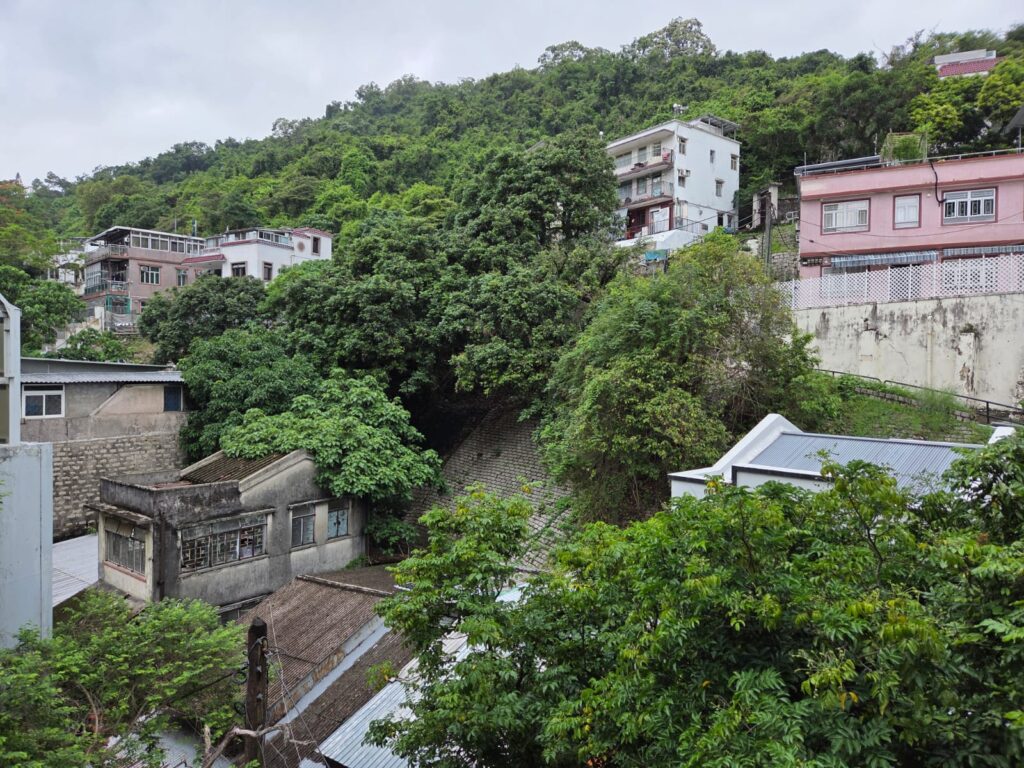
There’s definitely some lush vegetation around here, perhaps a remnant of the area’s agricultural past.
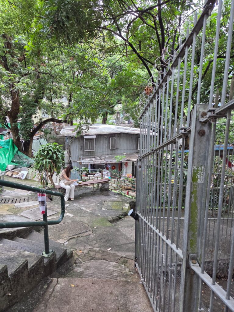
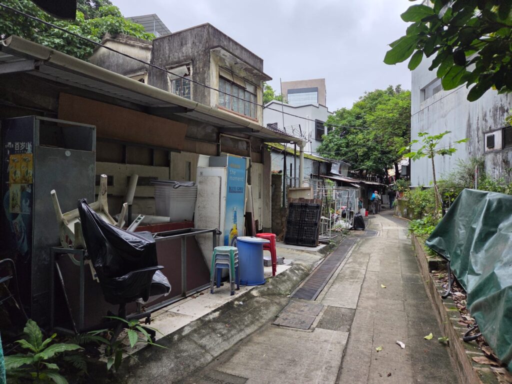
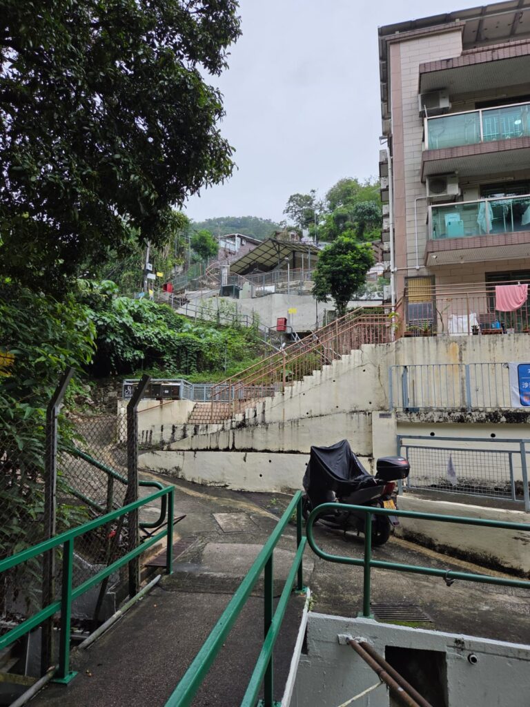
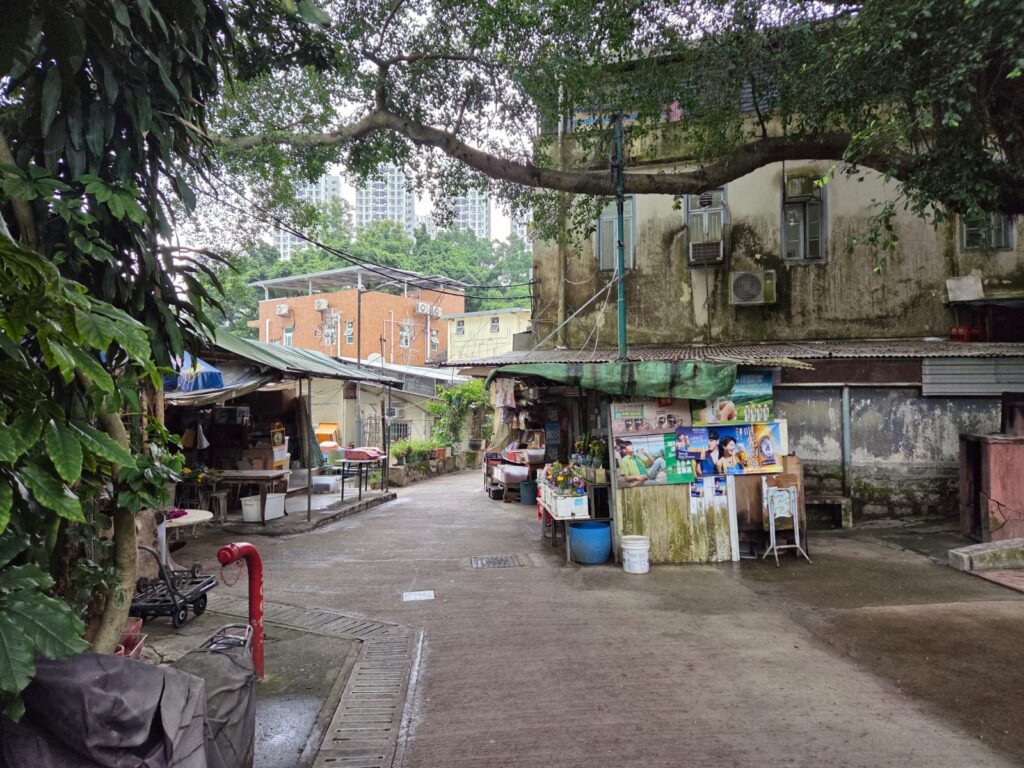
And we head down some paths and laneways that feel distinctly organic, like paved-over desire lines.
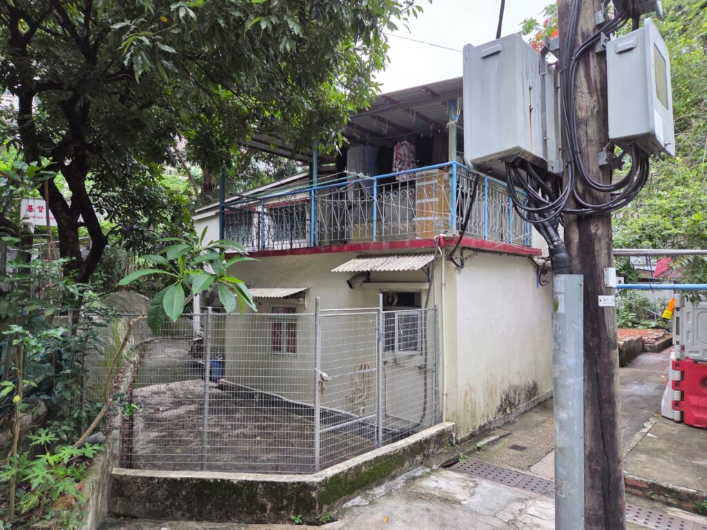
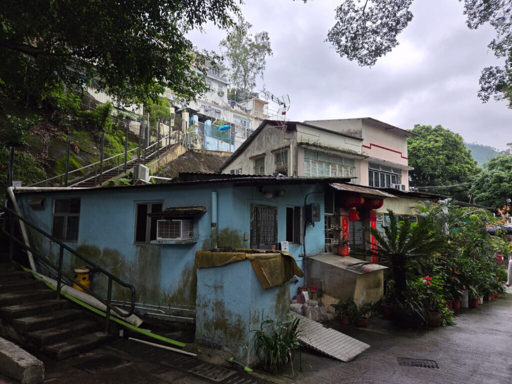
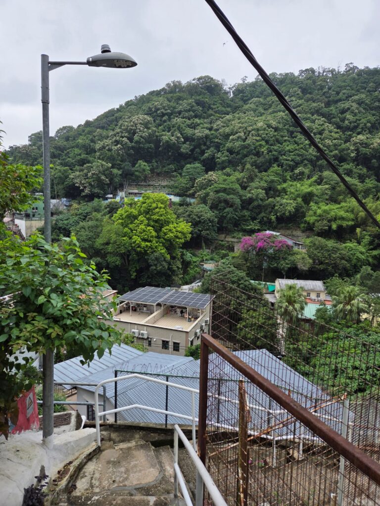
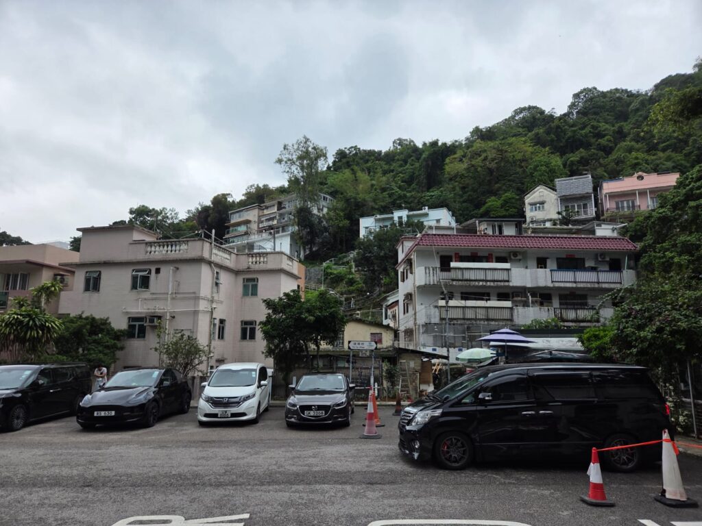
I noticed when I came across settlements in Sha Tin that they had a village-y feel. Much more so than their counterparts in Kowloon or much of Hong Kong Island. It’s not just that these are mostly two-storey dwellings rather than towers. It’s also that it feels a bit more domestic in nature, and closer to this walk, for instance. I have spent much more time on Hong Kong Island and in Kowloon, so maybe this is just getting to know the New Territories.
Through the Back Lanes of Sha Tin
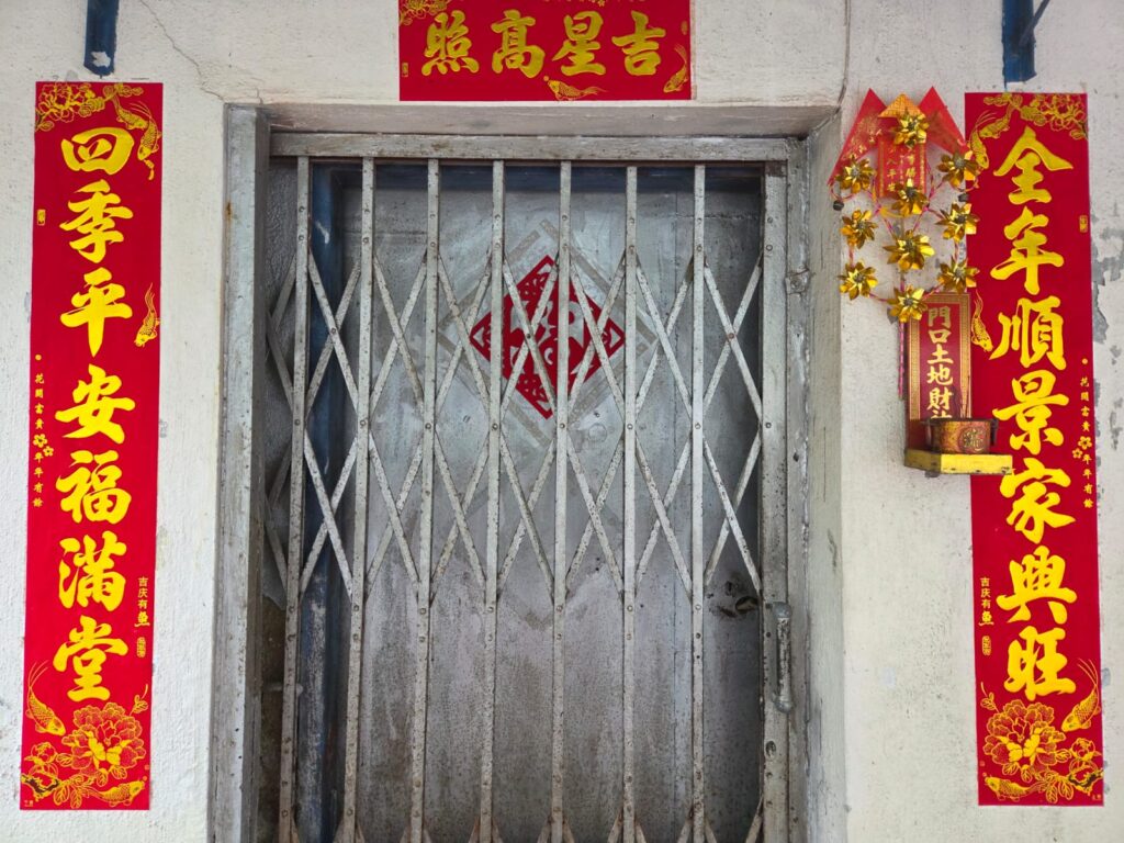
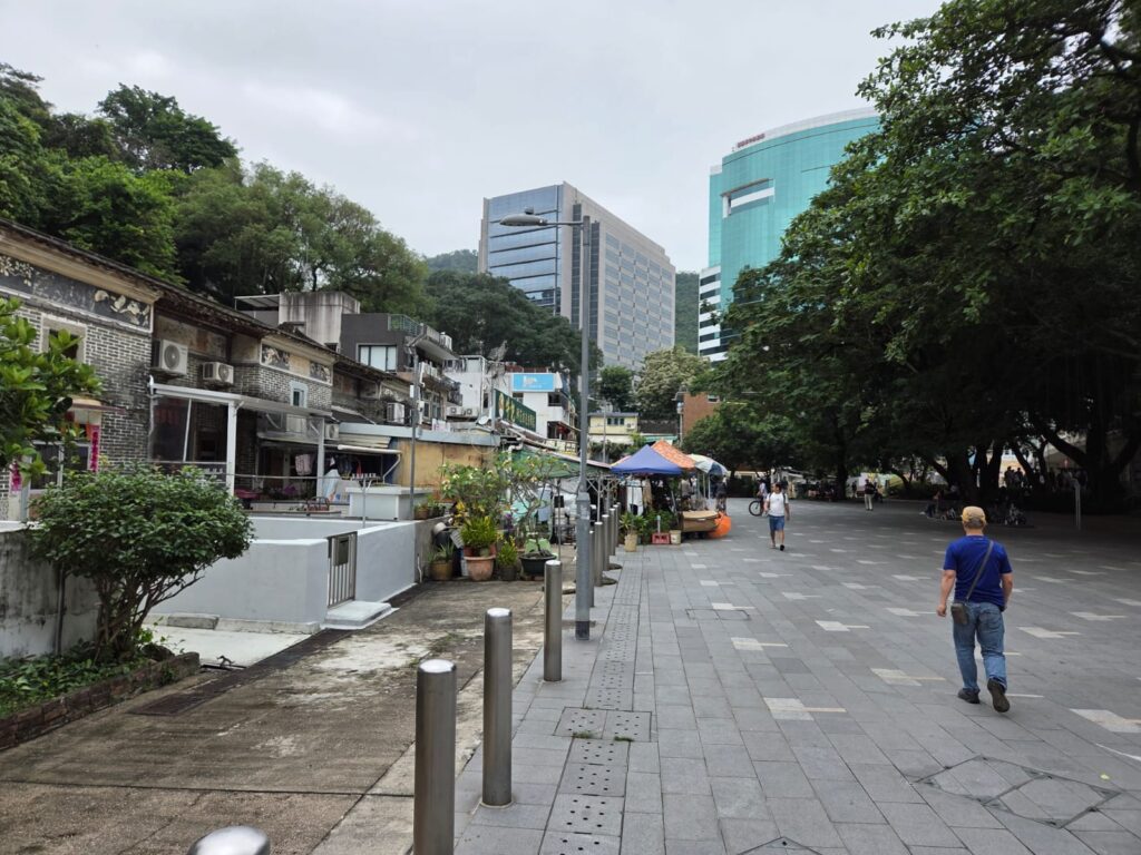
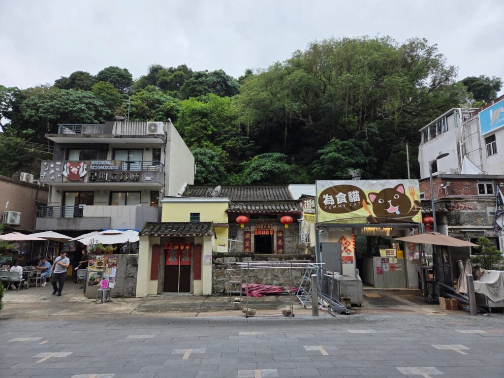
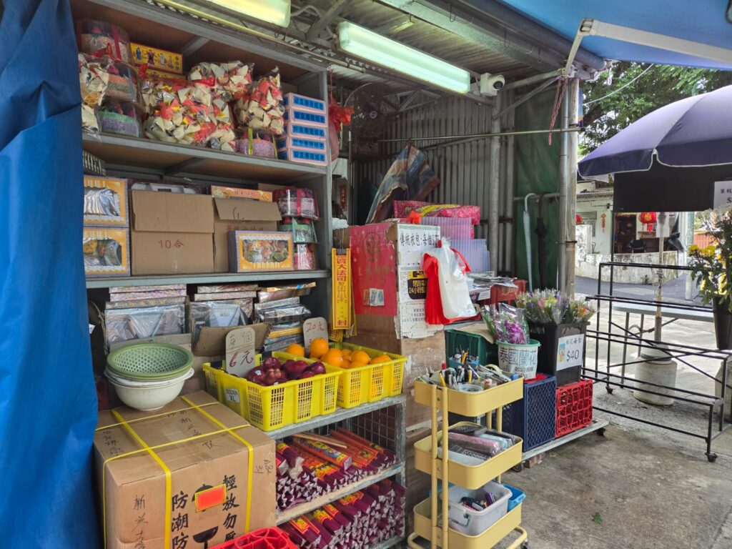
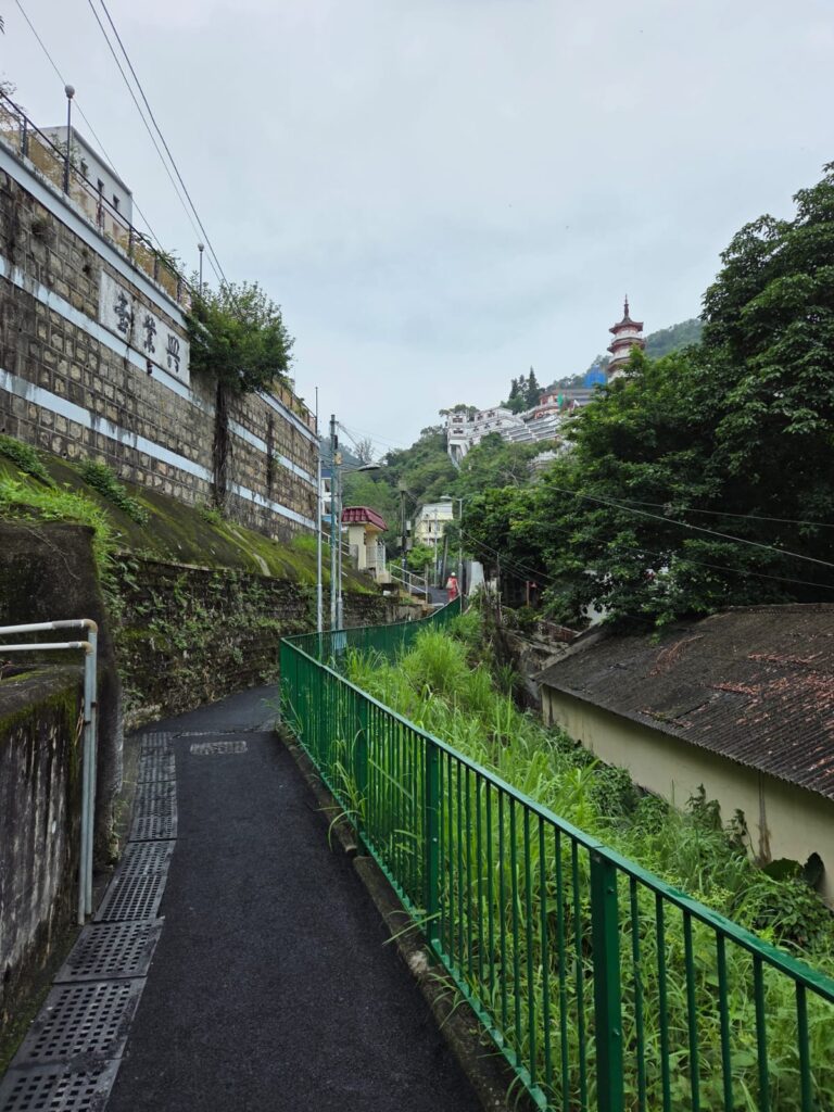
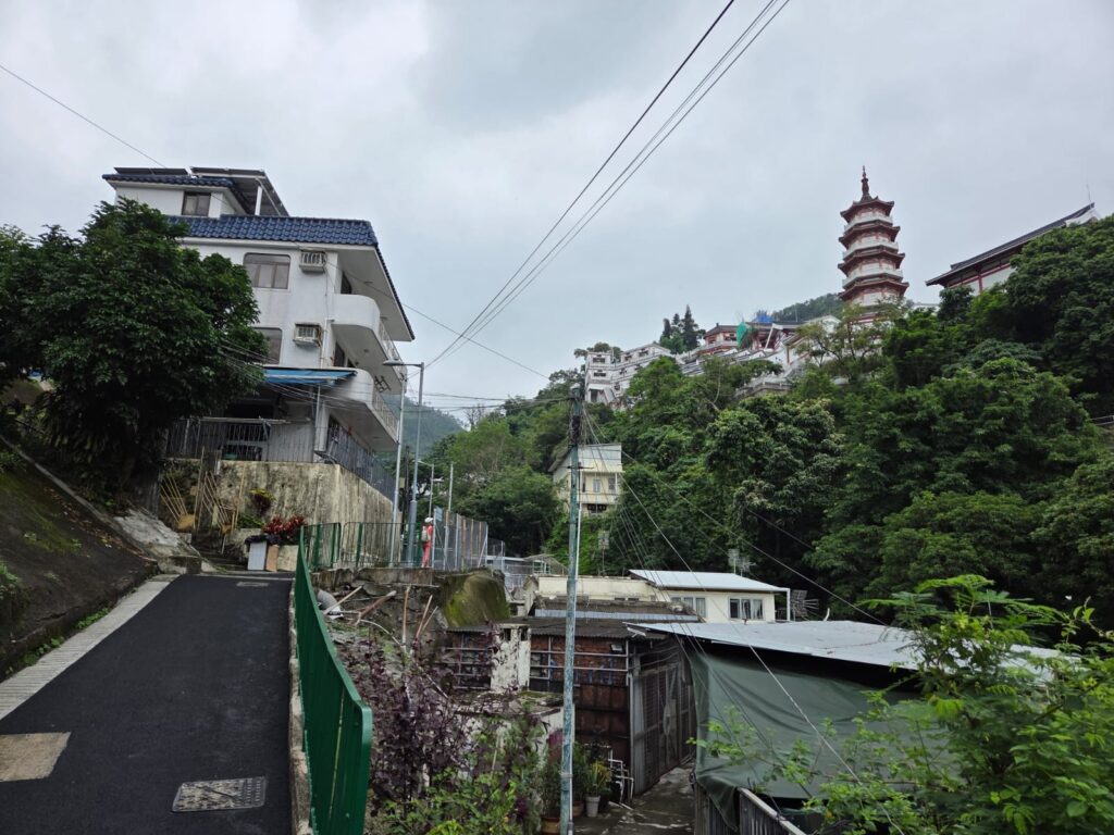
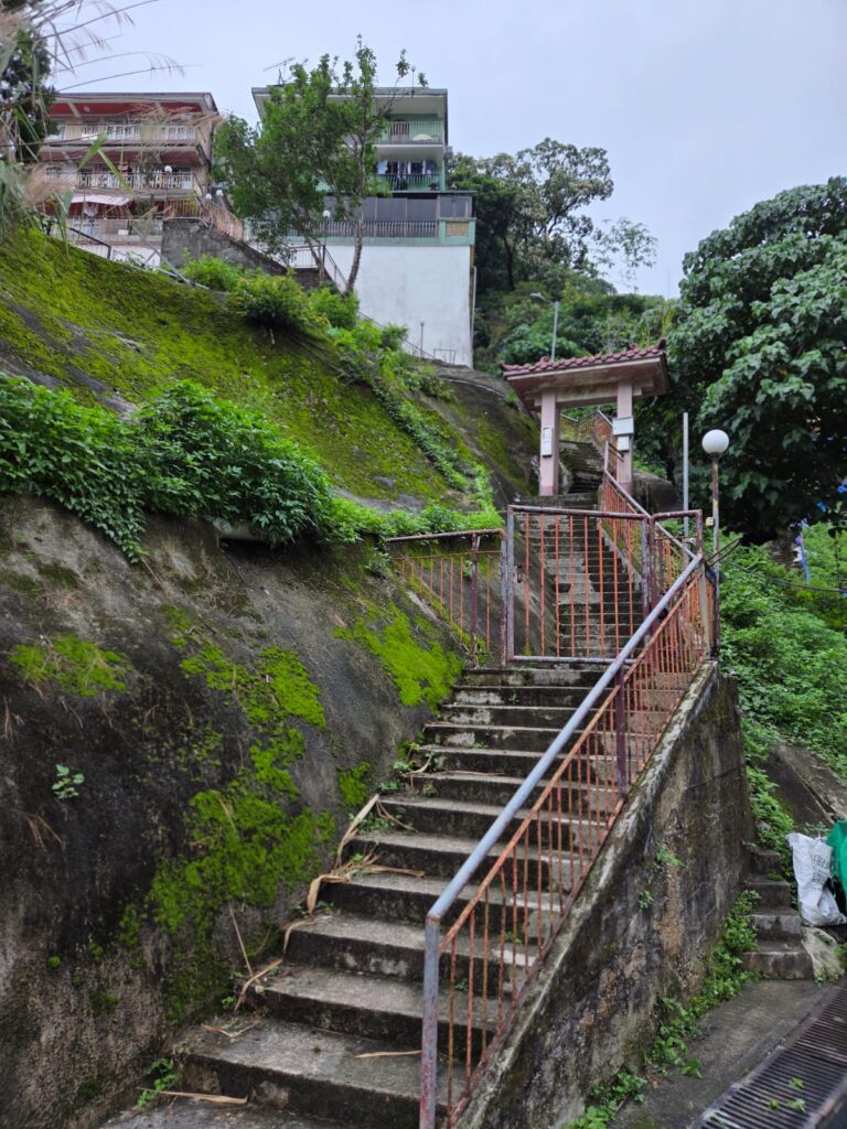
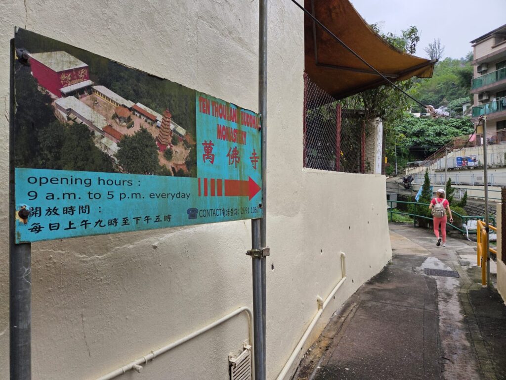
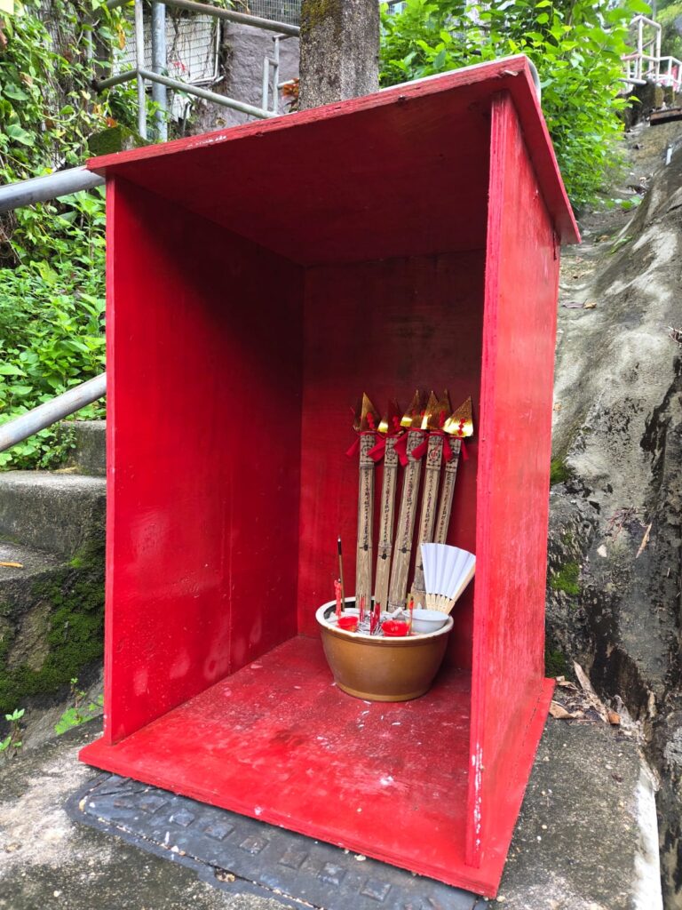
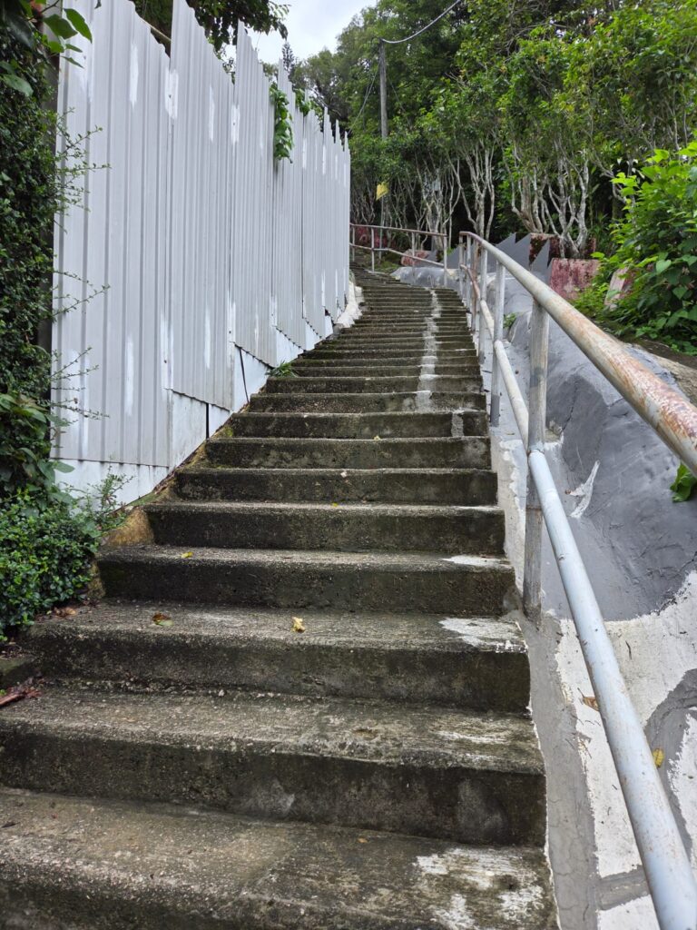
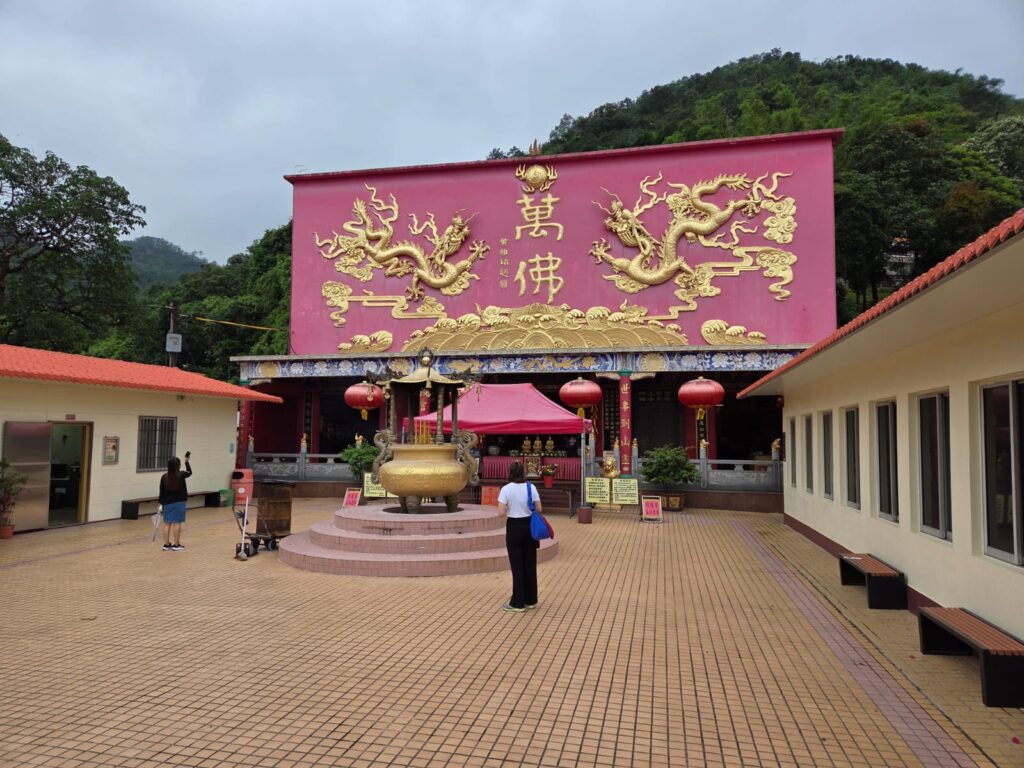
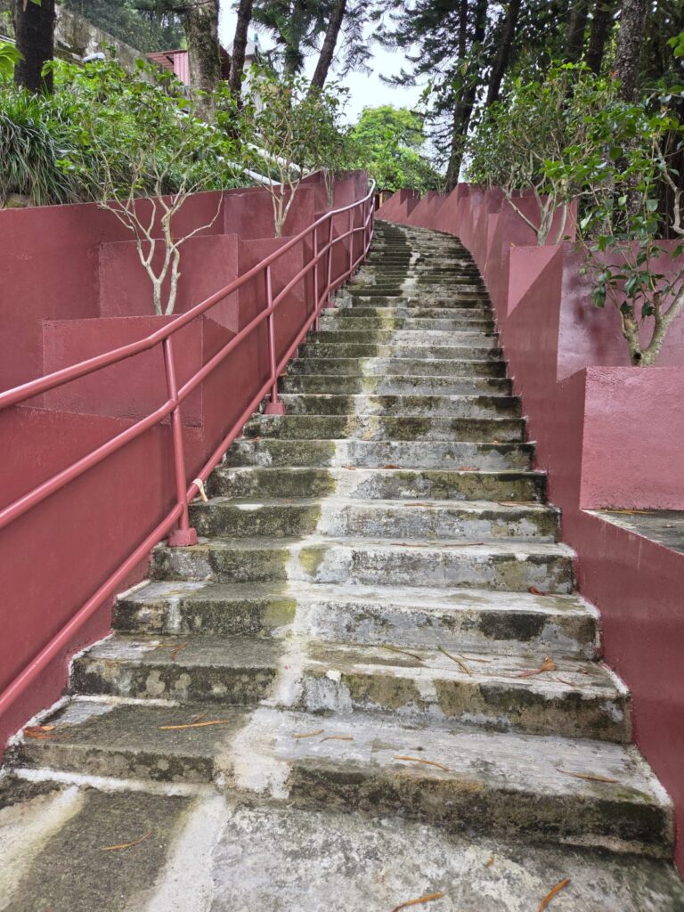
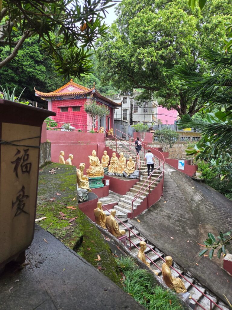
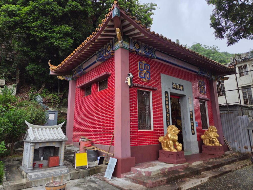
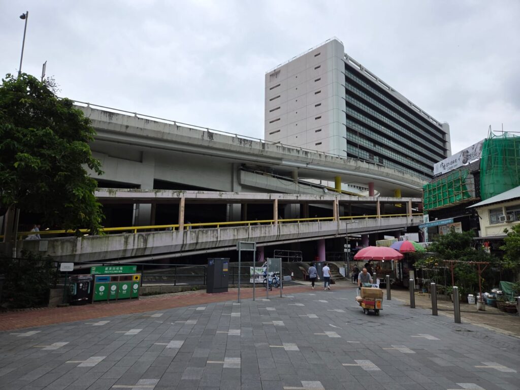
We’ve now reached the space in front of CityLink plaza, which gives access to Sha Tin Station. This area definitely reminded me of some of the town or village squares we saw on the Ping Shan Heritage Trail. Particularly the Pai Tau Village’s Ancestral Hall integrated into surrounding housing and businesses.Coming out the other side, we’re now looking for the path to the monastery. But can’t help looking into some of the open shop fronts along the way. Can you see the piles of incense, ready for people to take up to the monastery?We’re starting to climb now, and getting our first views of the monastery complex. Ten Thousand Buddhas Monastery is not actually a monastery, as no monks live onsite. But it is a very interesting spot nonetheless. Founded by the Venerable Yuet Kai in 1949, it lies in Pai Tau Village. It’s been much restored over the years, and closed between 1997 and 2000 after a caretaker died as the result of a mudslide. Yuet Kai’s body, said to have been found incorruptible after his death (or possibly embalmed) is exhibited in the monastery’s main hall.Not this way!This way! We are actually coming the back way to the monastery – I thought since I was here I may as well see a different side of the neighbourhood than I did last time. We’ll head down the main path when we exit later.We’re heading up these stairs now. As across most of Hong Kong and more broadly in Asia, it’s common to spot small shrines. Whether personal, for businesses, or communal, they frequently seem well-tended to.I started my Hong Kong trip by having a good stretch of my legs, and am managing the same before I head to the airport. Let’s just catch our breath here for a moment.
Ten Thousand Buddhas Monastery: Lower Level
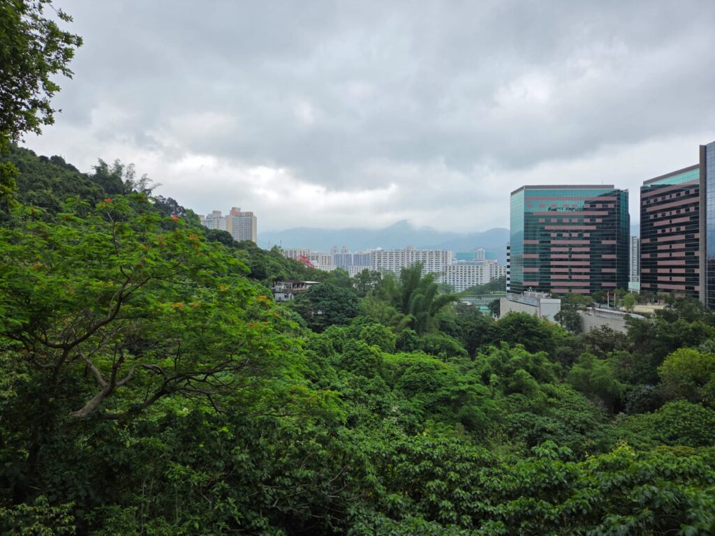
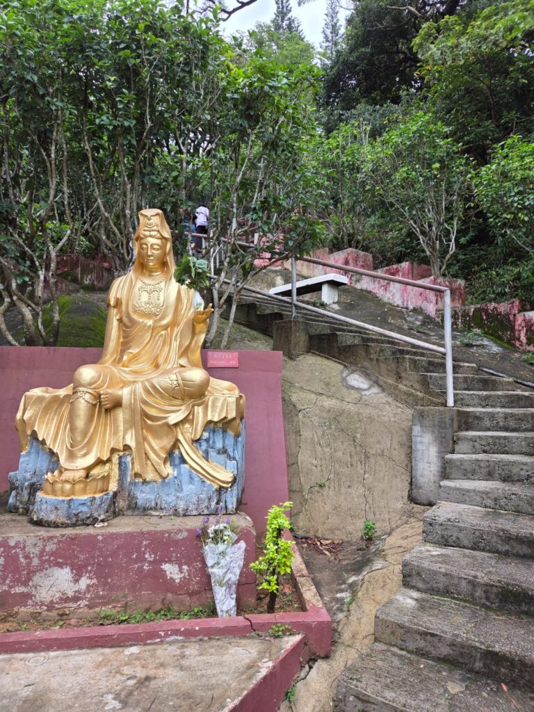
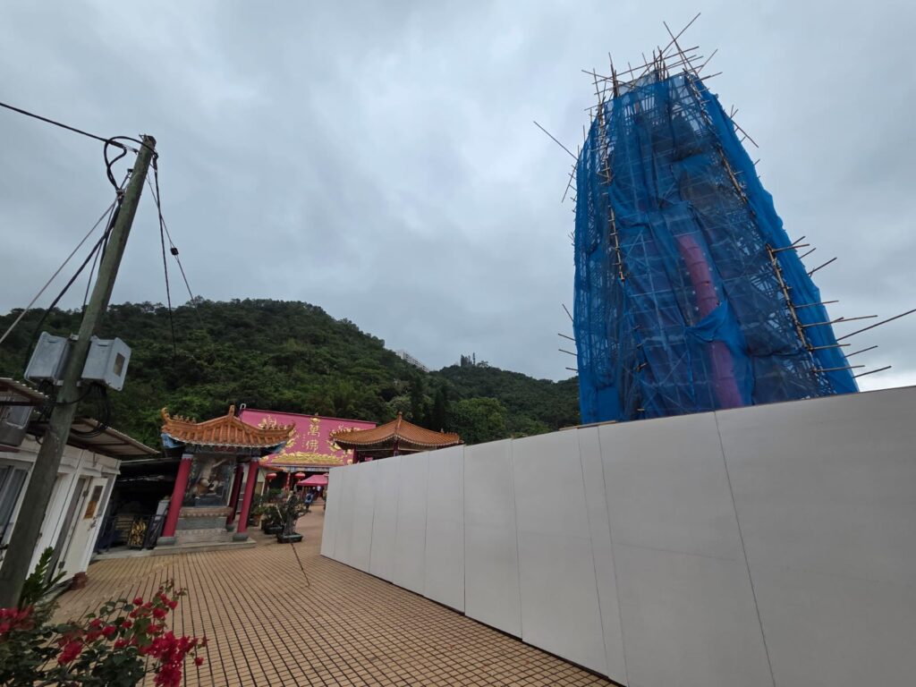
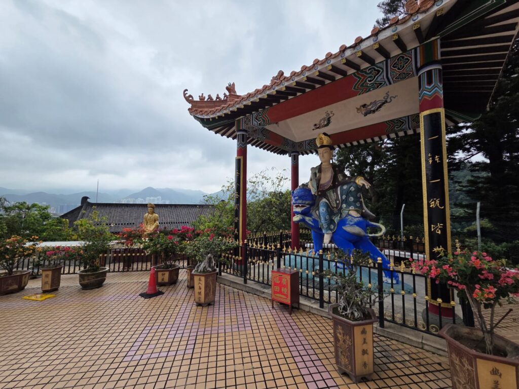
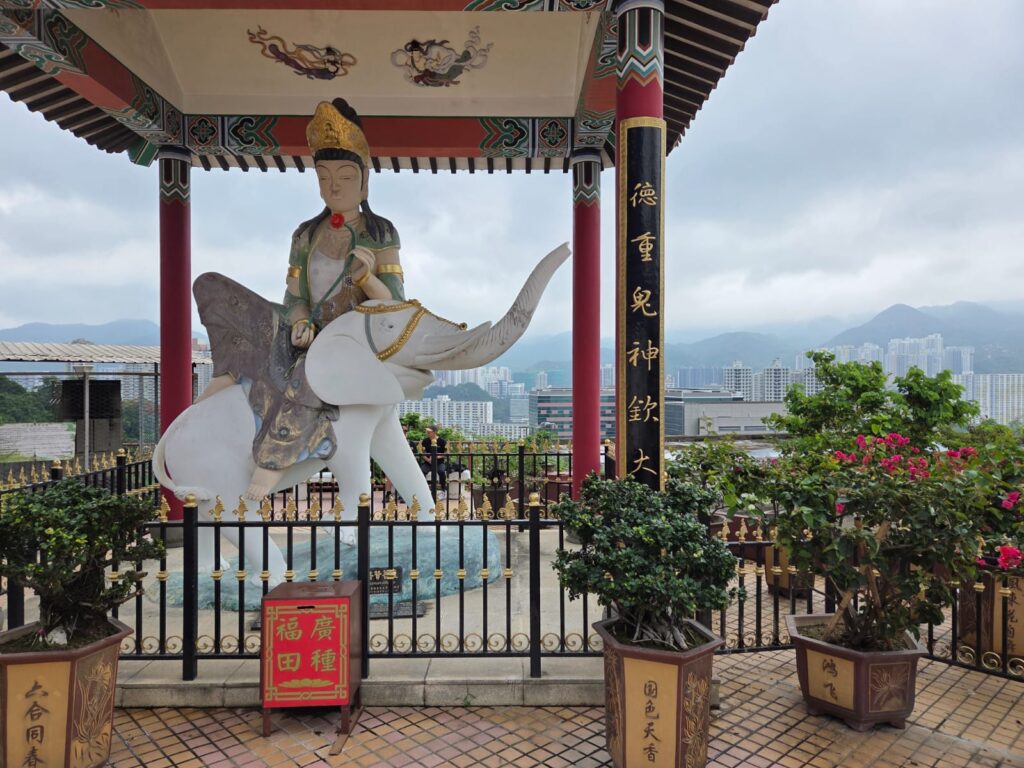
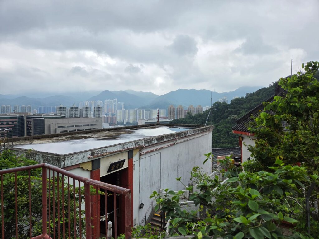
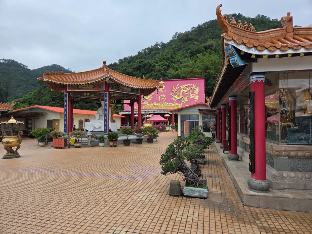
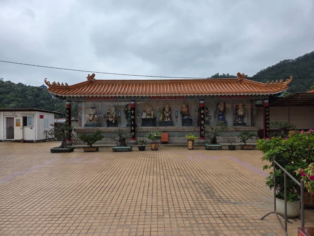
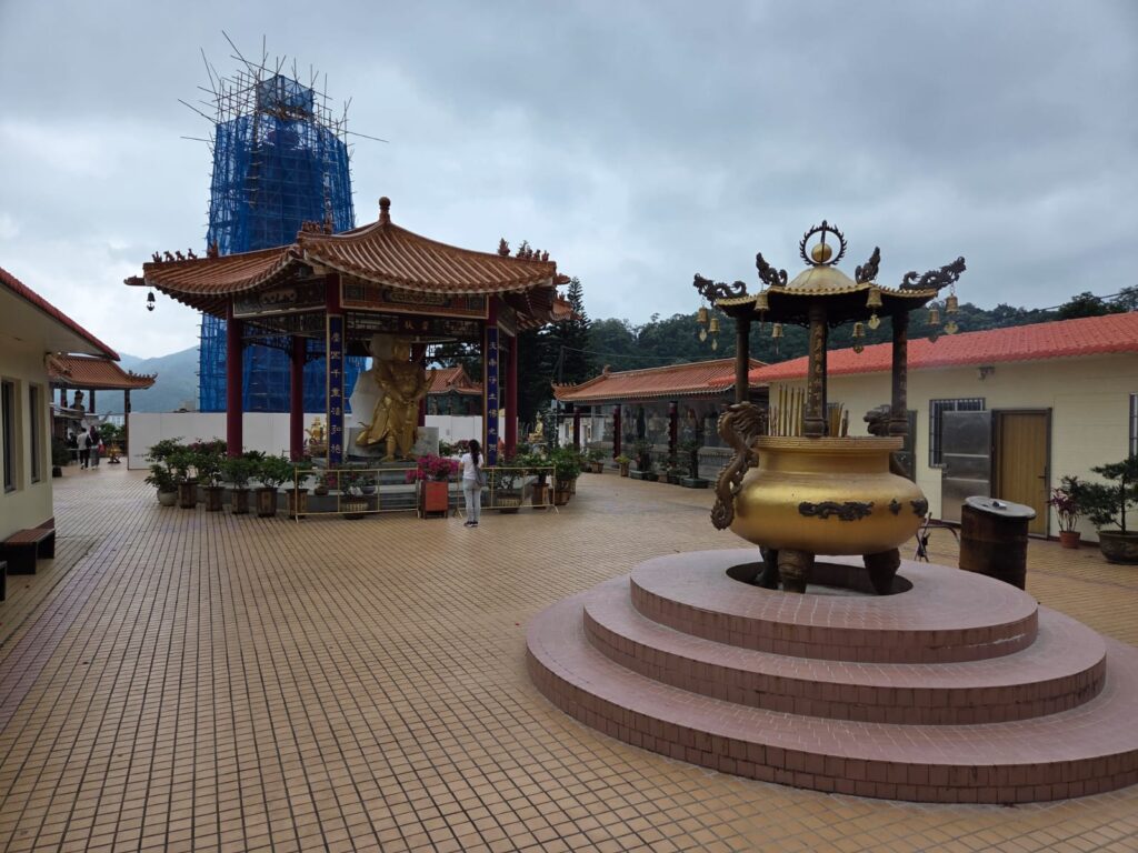
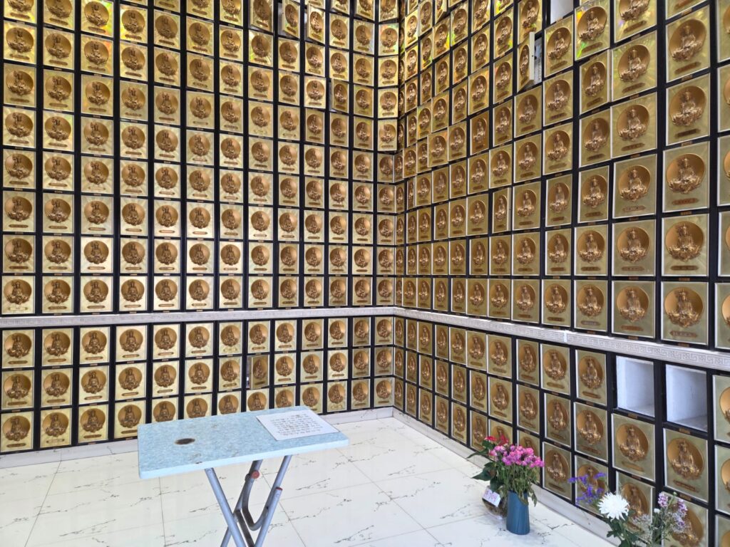
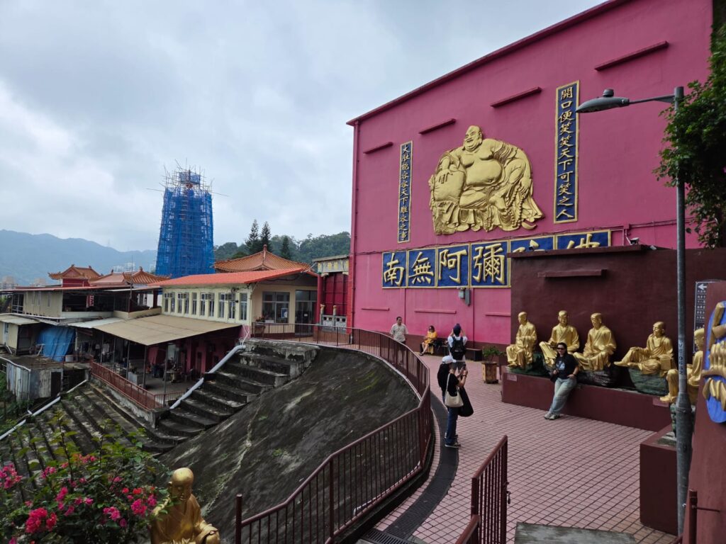
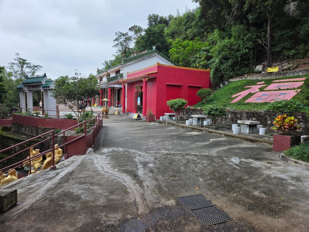
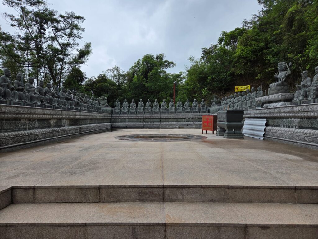
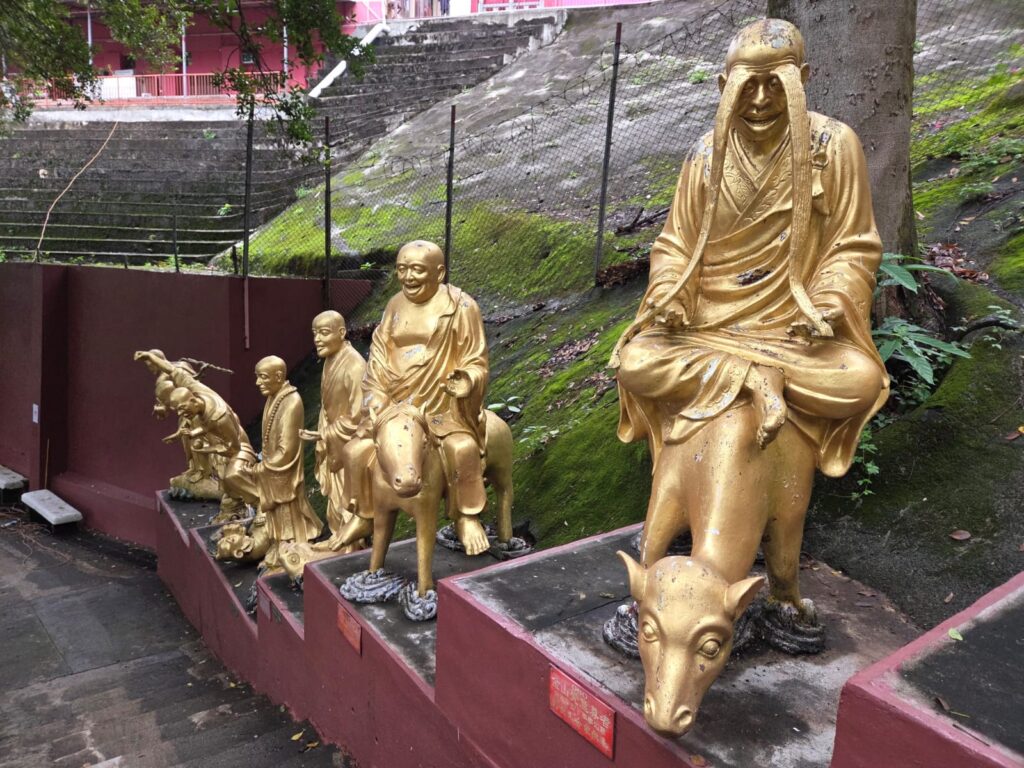
Ah yes, this style of statue looks familiar, we’re almost there. Yuet Kai was from mainland China, and many of the temple’s statues resemble ones from his hometown of Kunming (although they do date to after his death). They are mostly the work of artists from Yunnan and Guangdong provinces.OK, we’re inside! It’s a bit of a shame the nine-storey pagoda is under renovation.These statues depict bodhisattvas. A bodhisattva is a person who has attained, or is striving towards, enlightenment. These are particular bodhisattvas who are often depicted on an animal. Manjushri (Wen Shu, bodhisattva of Wisdom) on a blue or green lion, for instance. Or Samantabhadra (Puxian, bodhisattva of kindness) on a white elephant.This is also a good place to look over (through the clouds) towards Lion Rock. Lion Rock is a 495-metre-high mountain between Kowloon Tong and Tai Wai. Said to resemble a crouching lion, it’s seen as a symbol of Hong Kong’s perseverance. To the best of my knowledge and poor map reading skills, that’s it over there.OK, let’s now turn our attention to the temple complex itself. There are actually about 13,000 Buddhas here in total, so even more than advertised. But there is a no photo policy in the main hall, so some of them you will have to imagine. There are two levels to the complex. We’re currently at the lower level, with the main hall, pagoda, a tower, and two pavillions. The upper level has four halls dedicated to Kwun Yam (Guanyin) and other Buddhist and Taoist deities. I think a Kwun Yam temple actually predates the rest of the complex. The pagoda and main hall are Grade II listed as of 2010.Still on the lower level, we also spot a columbarium. This is technically unauthorised, and was part of a dispute with the Hong Kong government back in 2010.
Ten Thousand Buddhas Monastery: Upper Level and Steps
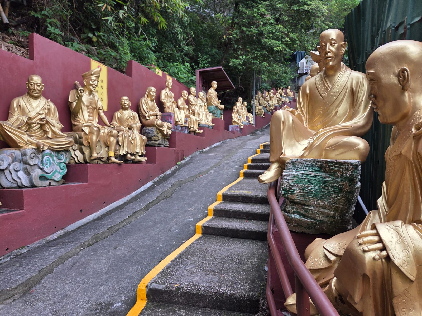
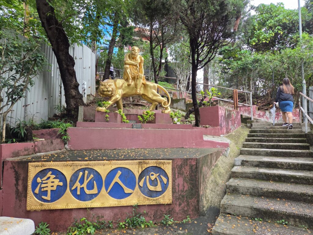
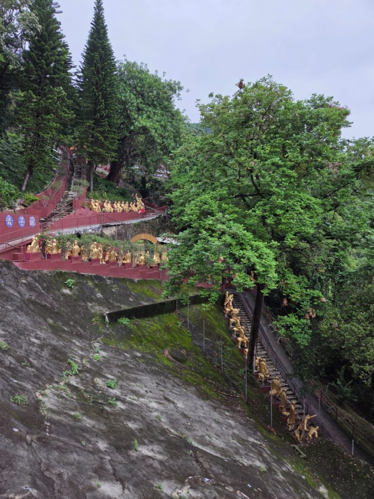
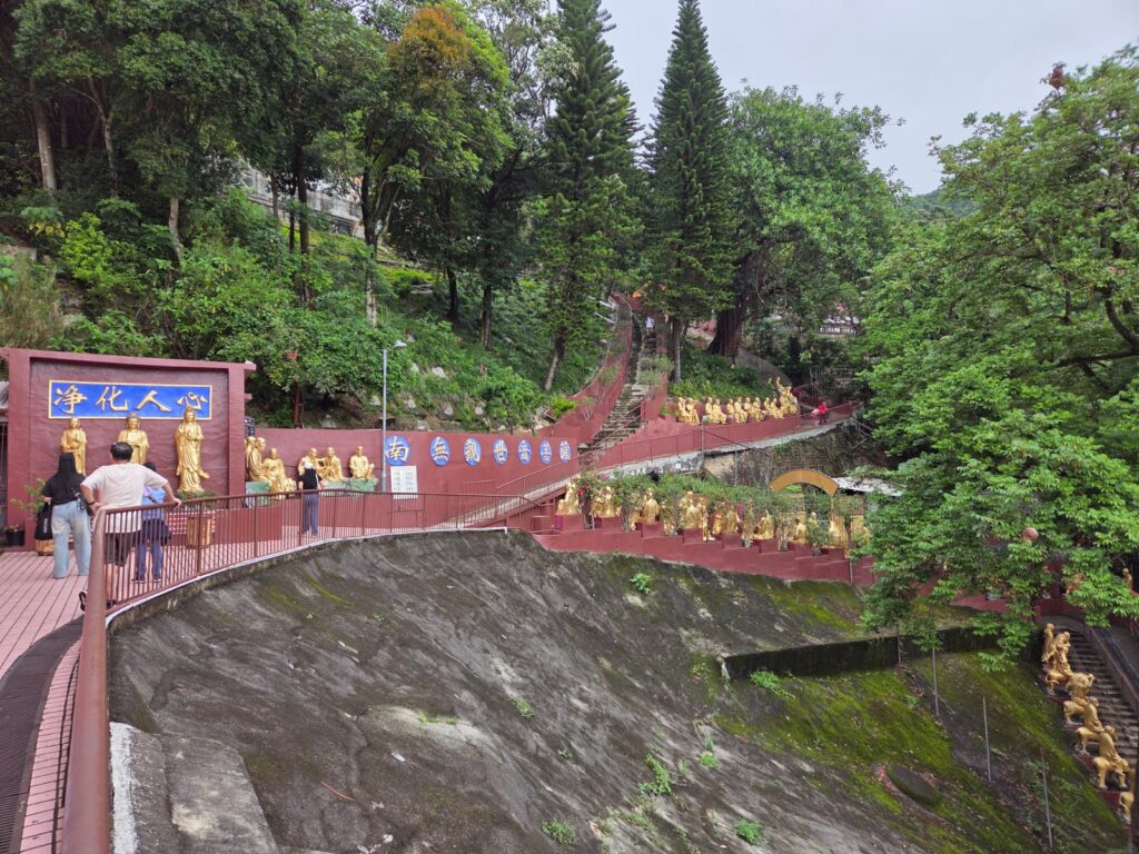
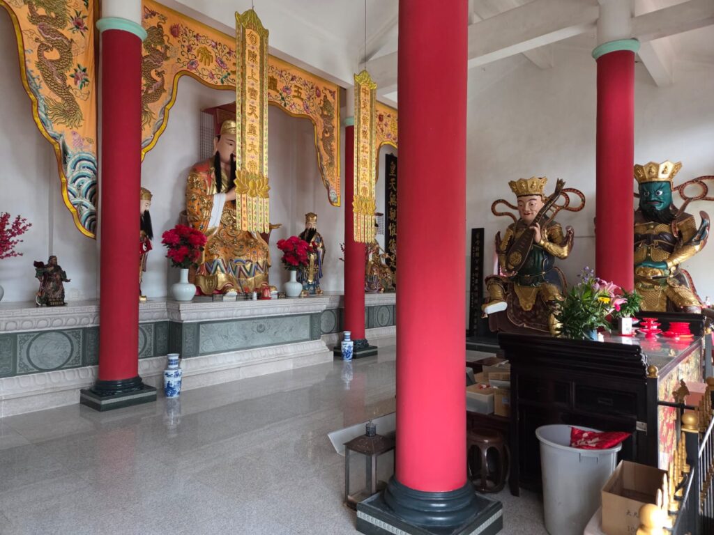
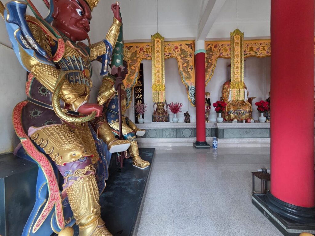
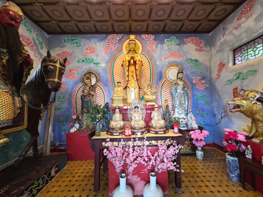
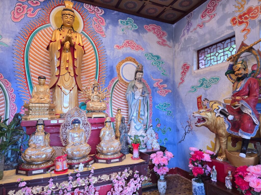
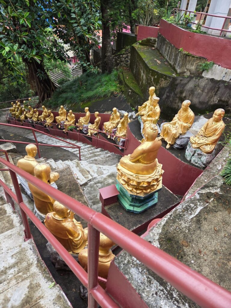
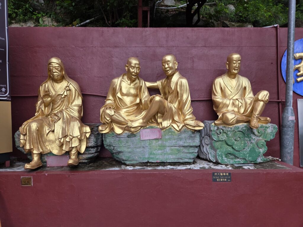
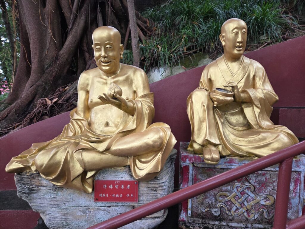
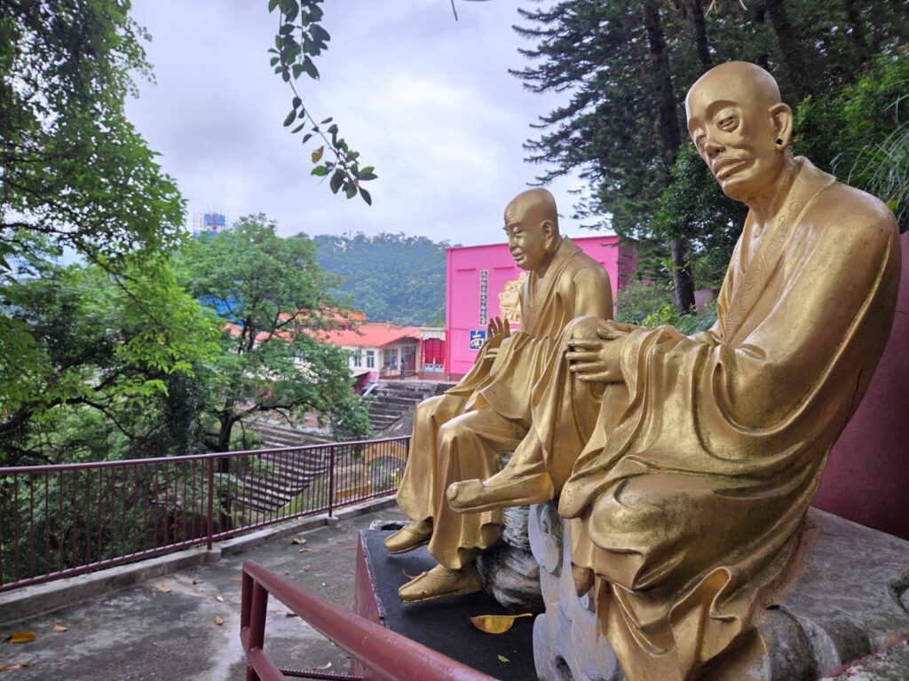
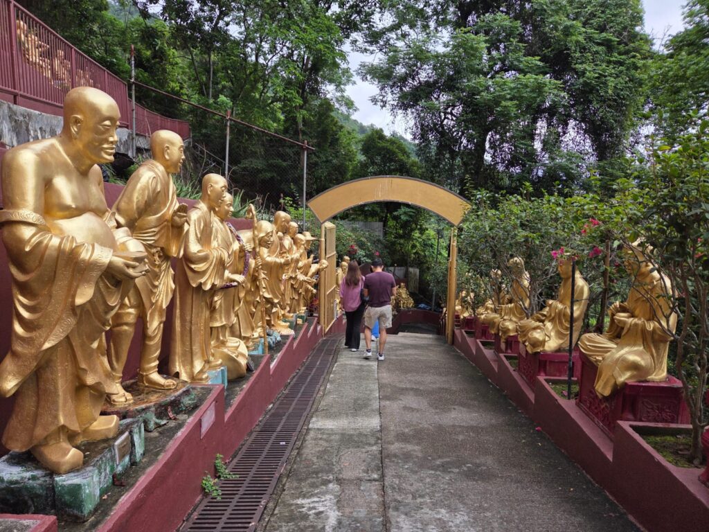
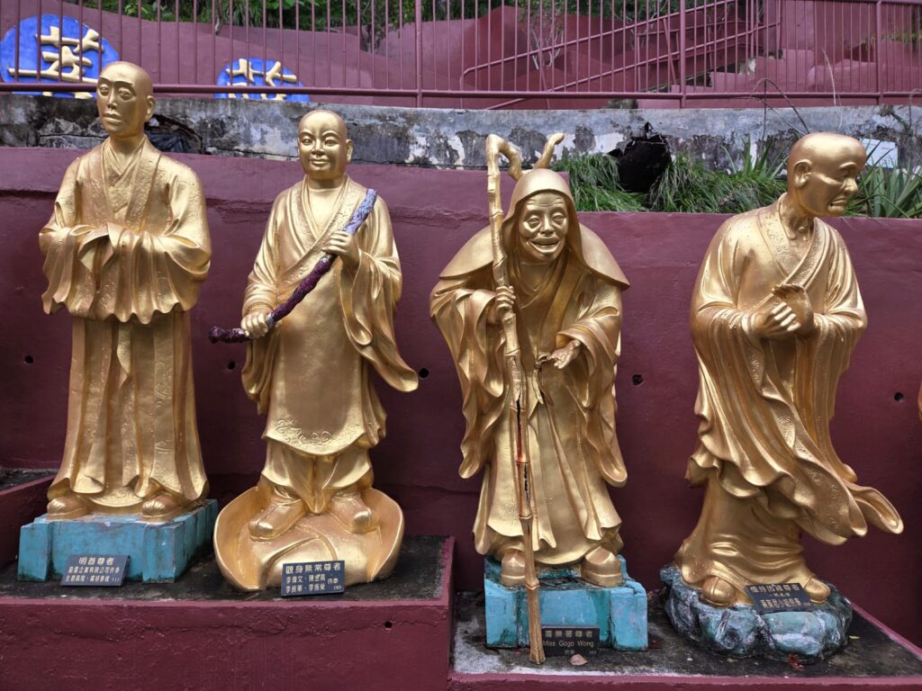
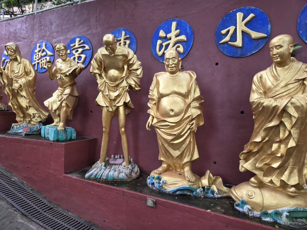
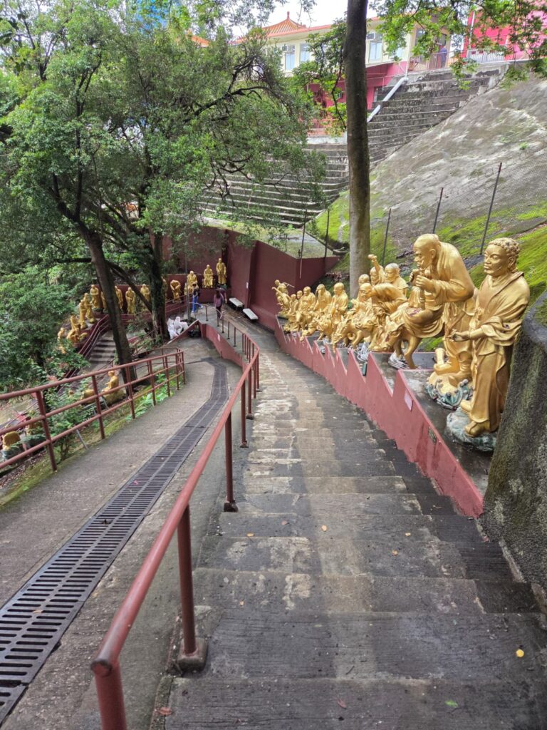
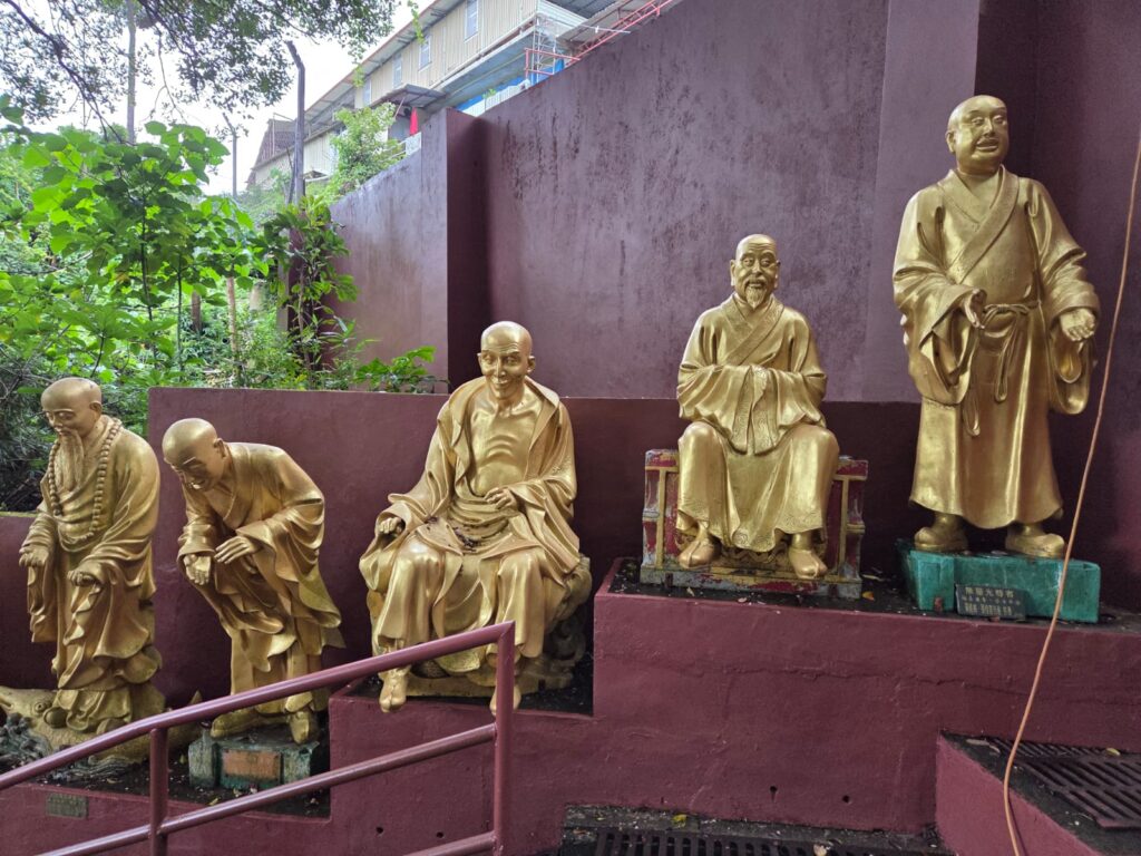
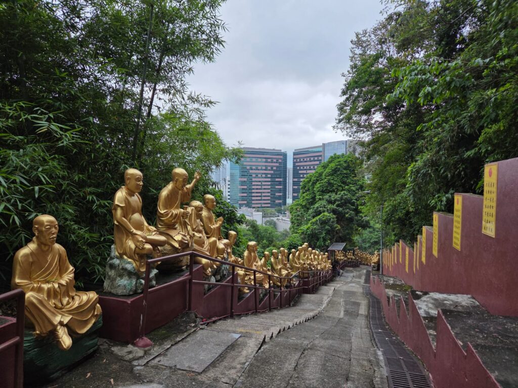
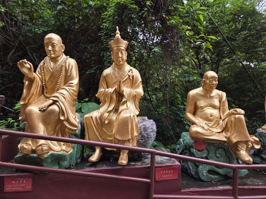
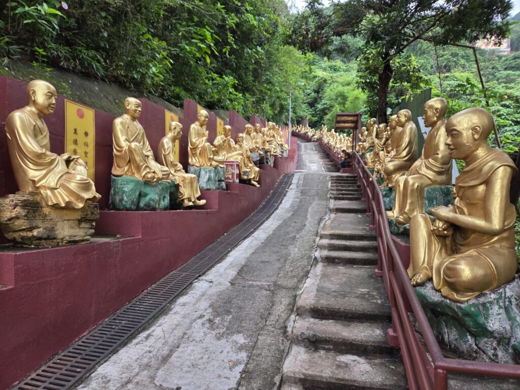
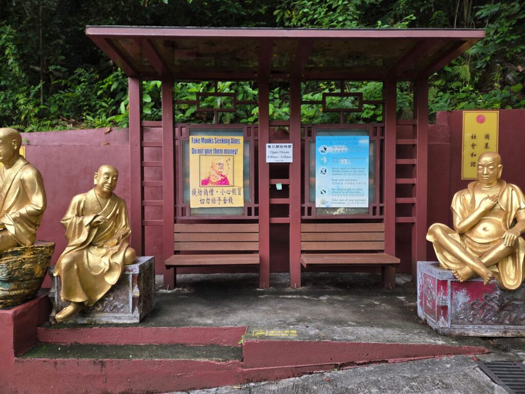
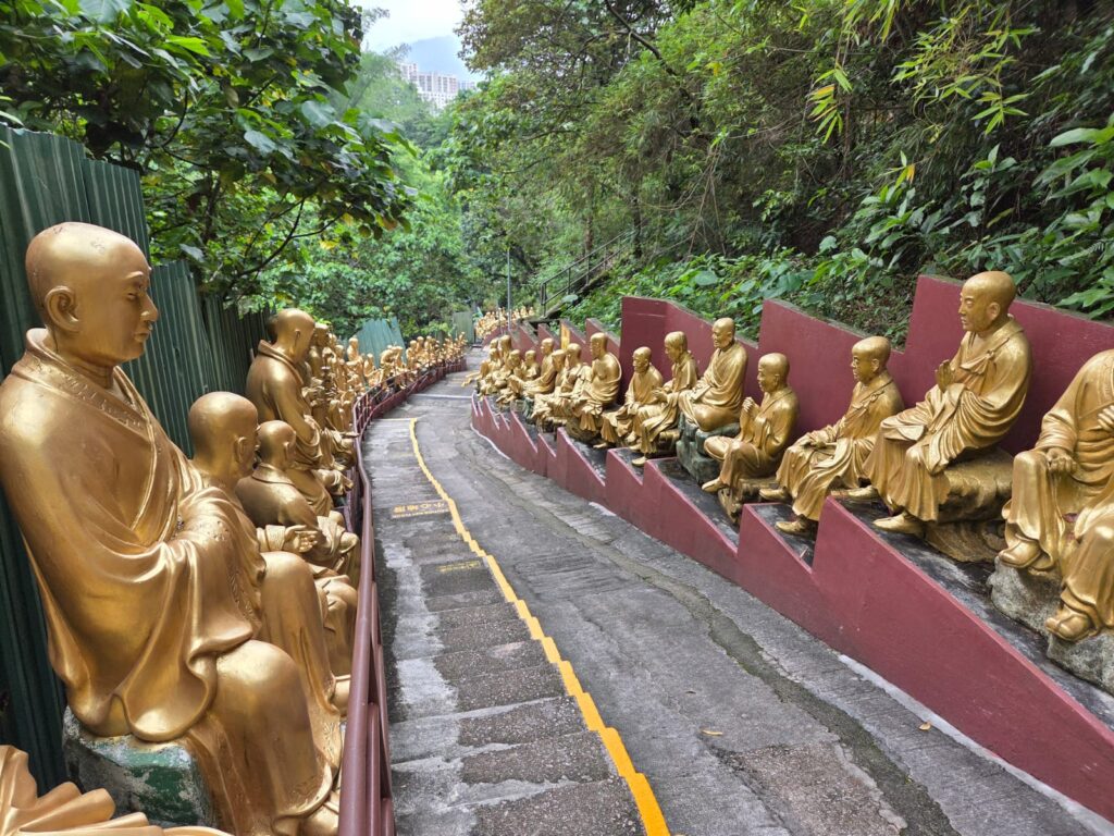
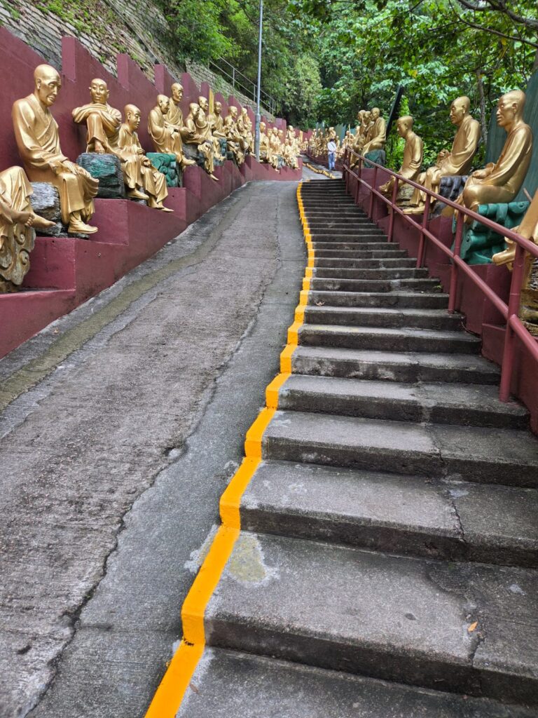
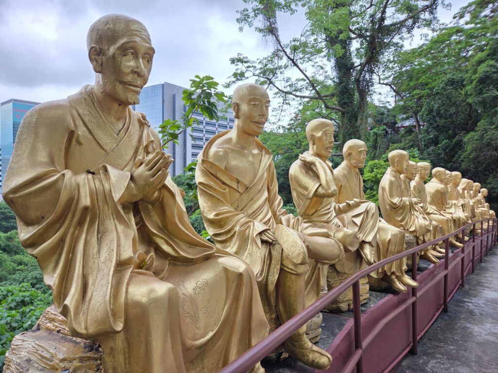
And now we start to get into probably the most distinctive aspect of Ten Thousand Buddhas Monastery: its statues of arhats. Arhats are the Buddhist equivalent of saints – those who have achieved enlightment. More on them in a moment.A look back at the lower level.And then let’s head up towards the upper level.First we come across a hall dedicated to Xuantian Shangdi (Xuanwu), surrounded by the Four Heavenly Kings (more bodhisattvas).And then the hall for Kwun Yam (Guanyin), which features very bright and cheerful colours. Kwun Yam is the bodhisattva of compassion, also known as Avalokiteśvara. She is commonly a woman in China and East Asia, but was originally regarded as a male in Indian Buddhism.Right, now to head down the 431 steps towards the exit! This path is the more common route from Sha Tin Station.As you can see, each statue of an arhat is unique. The labels contain numbers – I’m not sure if these indicate which arhat is which. They also indicate who donated towards each statue.There are absolutely loads of them, which makes for a very atmospheric walk. The statues were installed starting in 2001. Without permission, which initially caused issues, but eventually the government decided they could stay.The last time I was here, there were two other factors adding to the atmosphere. The first were macaques. Hong Kong has a population of around 2,000 Rhesus Macaques, Long-tailed Macaques, and hybrids. I was a bit sad not to see any this time. The second factor we’ll come onto momentarily.More arhats. I swear there were some missing this time which I’d seen previously. You don’t forget someone who has arms for eyes, for instance, and I was looking out for him but didn’t see him. If you’re curious, there’s an image in this blog post.The other factor that was absent on this visit to Ten Thousand Buddhas Monastery were the fake monks. Basically just guys dressed as monks trying to scam you out of money. Today we saw the posters but not the charletans.Right, we’re almost at the bottom of the hill, so it’s goodbye to arhats.
Goodbye to Sha Tin
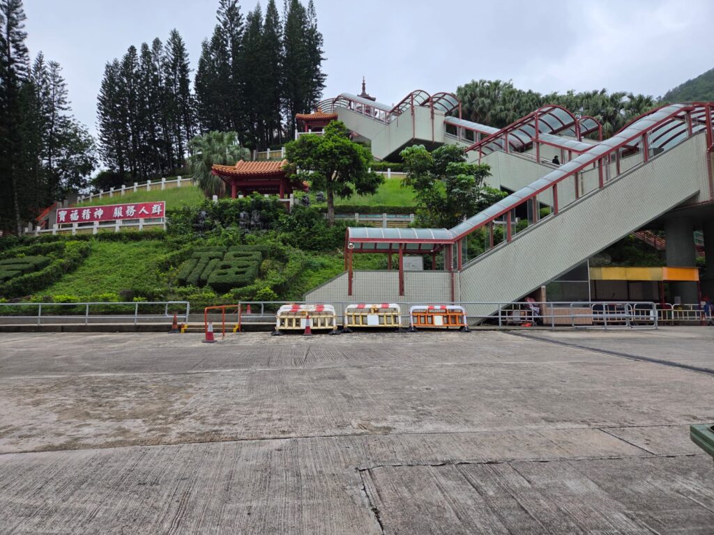
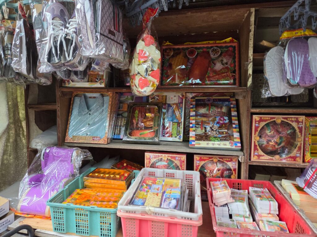
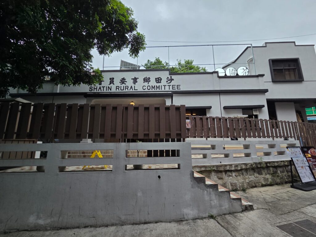
Heading back to Sha Tin Station takes me past another side of the complex. Are you telling me I could have ridden escalators the whole way up? Or is this something different?We’re soon back in the vicinity of CityLink Plaza.Just before we get there, I spot another shop with interesting – and relevant – things to buy. In Taoist-Buddhist culture, you can buy paper goods and burn them in order to send them to loved ones in the afterlife. Here you can see fish and other foods, medicines, clothing, and bundles of cash. It’s led to a strange type of consumerism where families buy the latest iPhones and luxury goods in paper so their relatives don’t miss out.I’m heading back to Sha Tin Station and the MTR, but I think I missed a couple of entrances somewhere around this point.Which was actually a good thing, as it meant I spotted this nice reminder of Sha Tin’s agricultural history. It’s hardly somewhere you would set up a Rural Committee today.A final look at some of the area’s eclectic domestic architecture.And now it’s goodbye to Sha Tin. It’s been fascinating seeing more of the New Territories, and seeing how life has evolved here in recent decades. And Ten Thousand Buddhas Monastery definitely stood up to a second visit – it’s a unique spot, and a place you can learn about contemporary Taoist-Buddhist traditions.
Trending
Travelers' Map is loading... If you see this after your page is loaded completely, leafletJS files are missing.